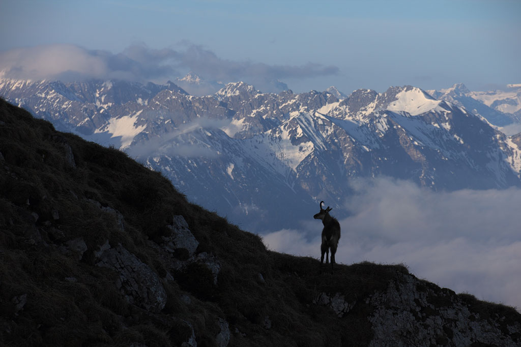
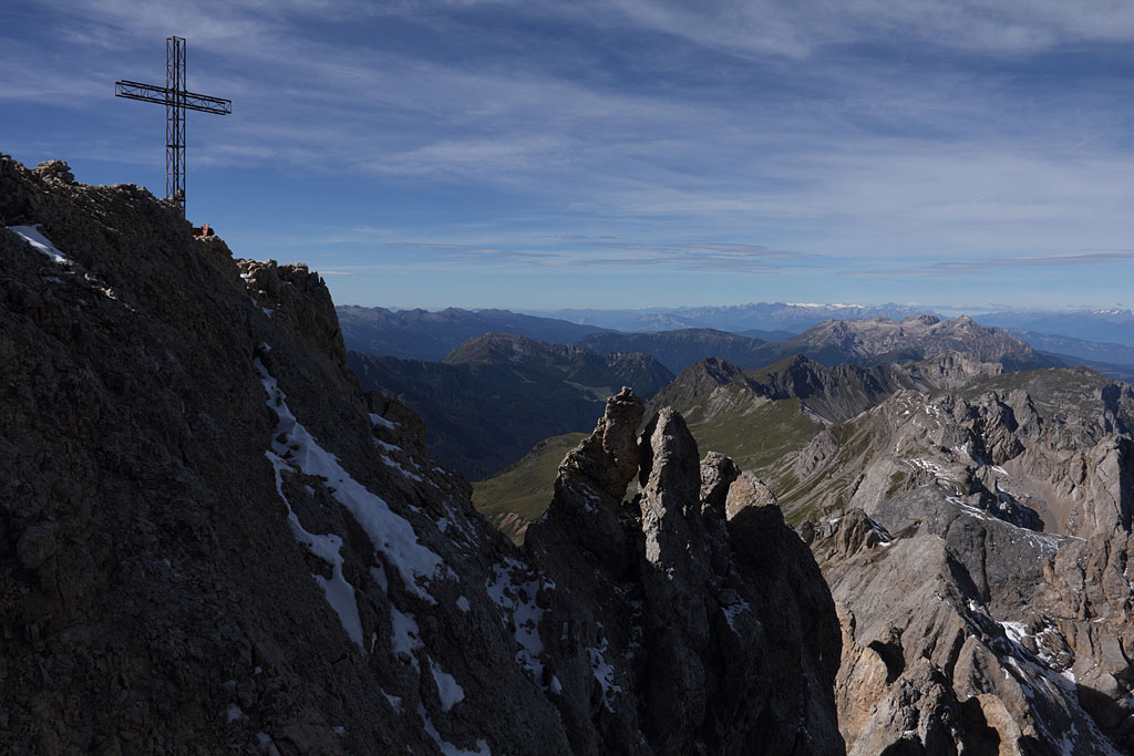
S-view with Chamois
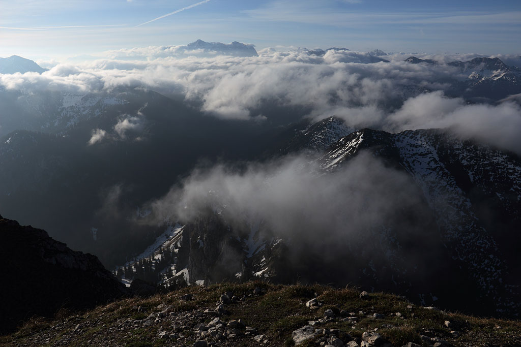
S-view from summit
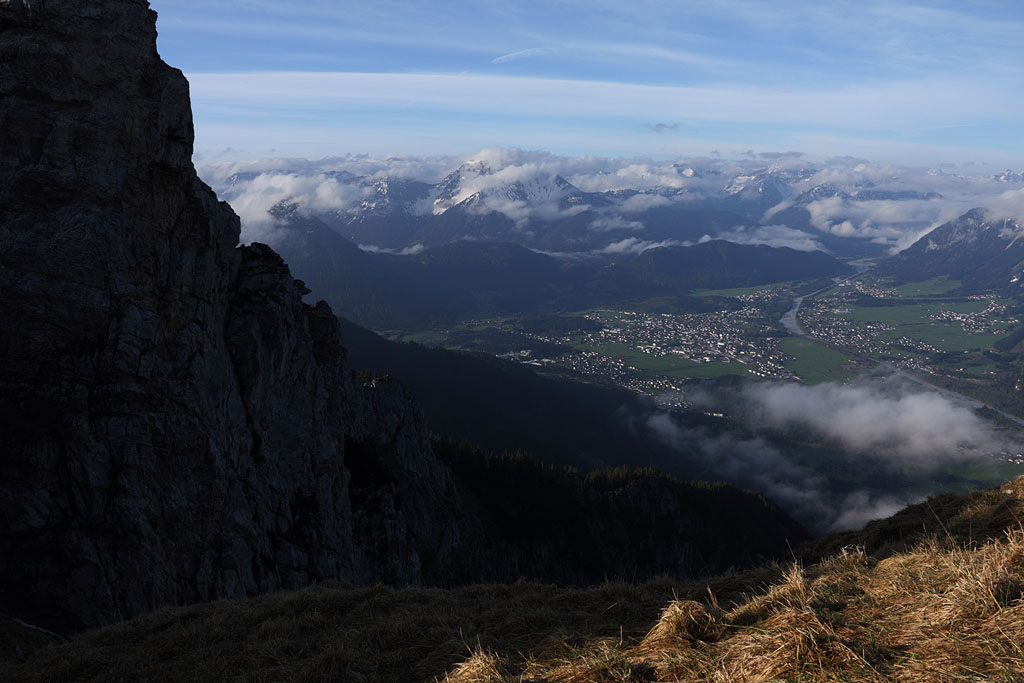
descending on W-side
ALPS 2013
Note: All tours except Piz Palü and Jungfrau in solo climb without rope, except for rappeling.
This is a personal philosophy which developed over decades now and should not be a general example.
For accidents caused by imitation no responsibility can be assumed.
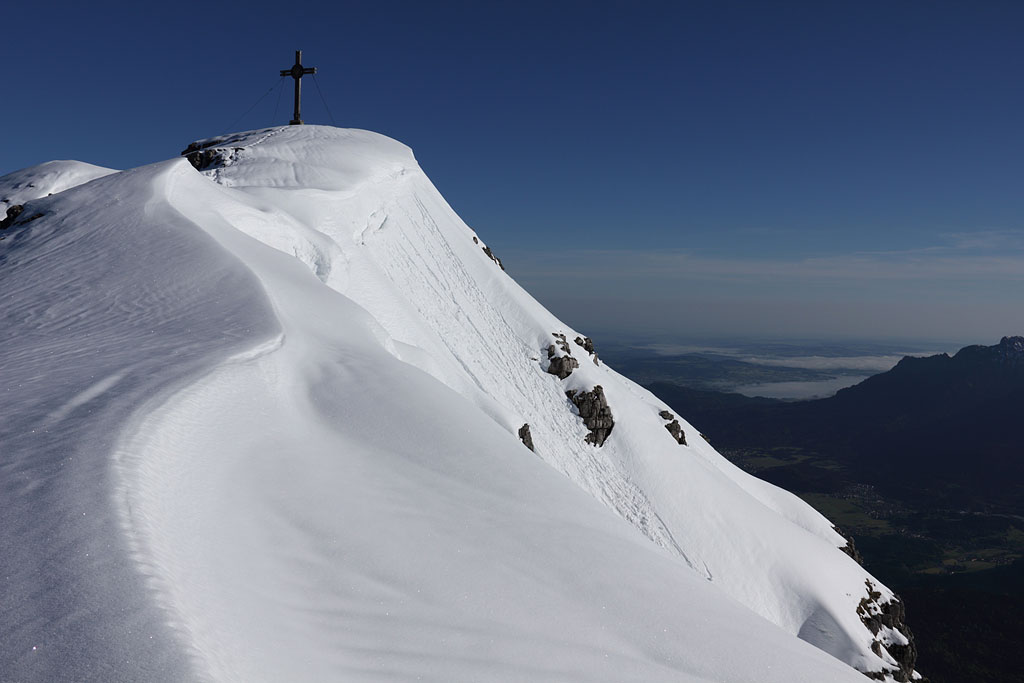
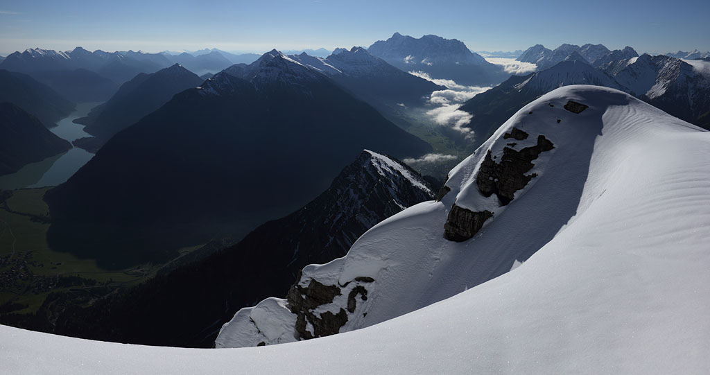
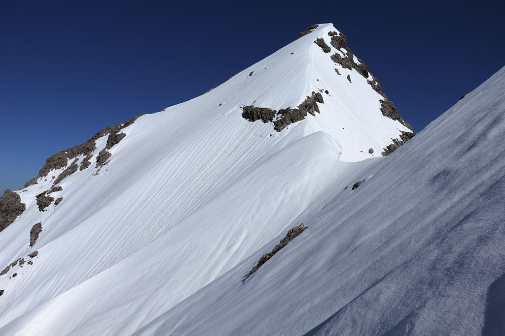
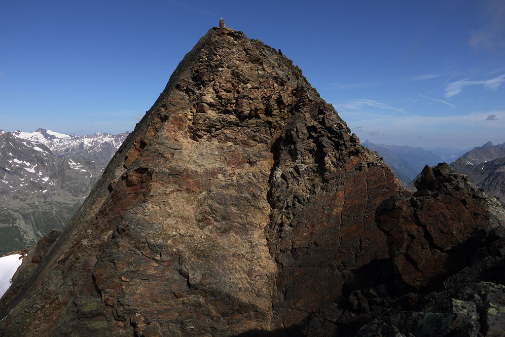
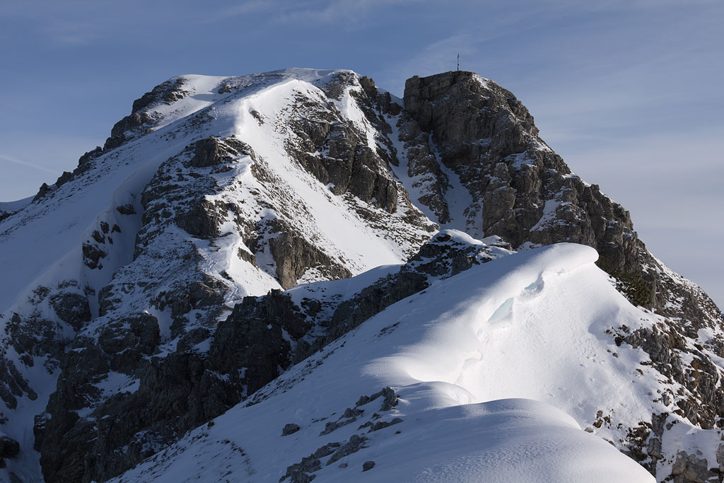
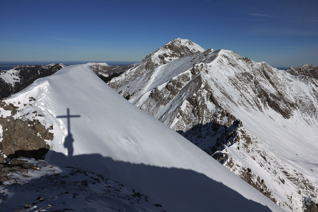
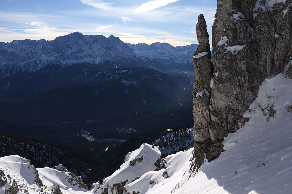
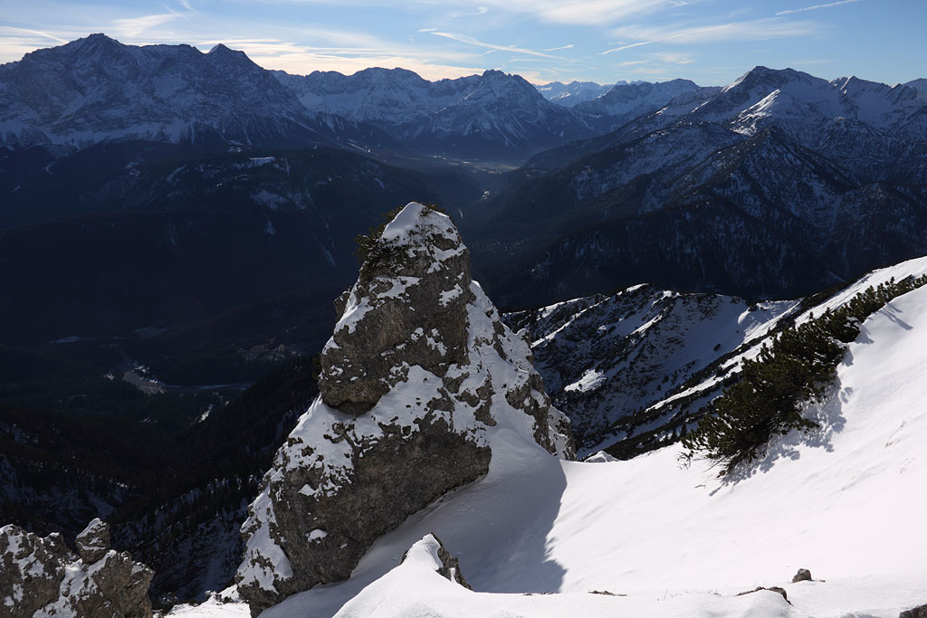
Säuling (2047m)
Austria/Germany-Ammergauer Alps in Tirol, 5.5.13
Day tour from Pflach, easy climb.
|
S-view with Chamois |
S-view from summit |
descending on W-side |
Ulrichshorn (2155m) and Gr. Rothorn (2409m)
Austria-Tirol, Loferer Steinberge, 9.5.13
Day tour from St. Ulrich, strenuous due to abundant and partly steep snow without trace. Detour to Rothörndl (2395m)
|
below Ulrichshorn |
panoramic view to main range with Rothorn to the left |
view from Rothörndl summit back to Gr. Rothorn |
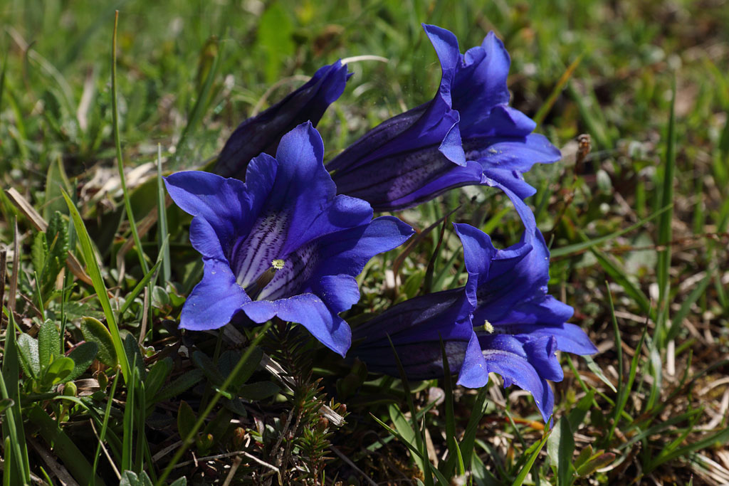
Gentian |
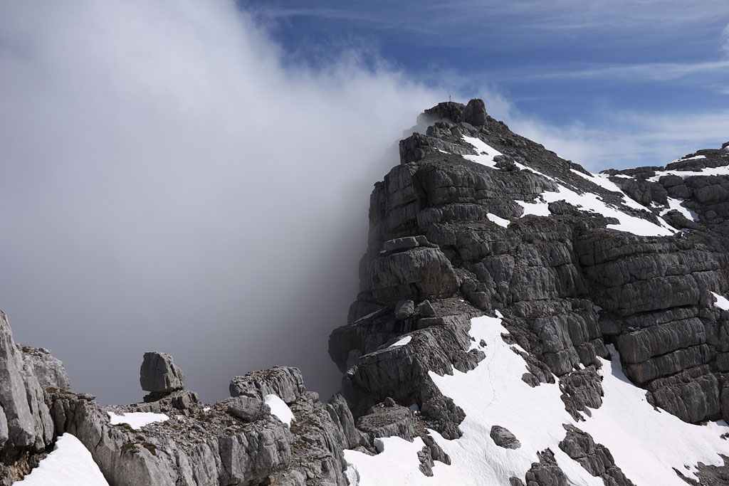
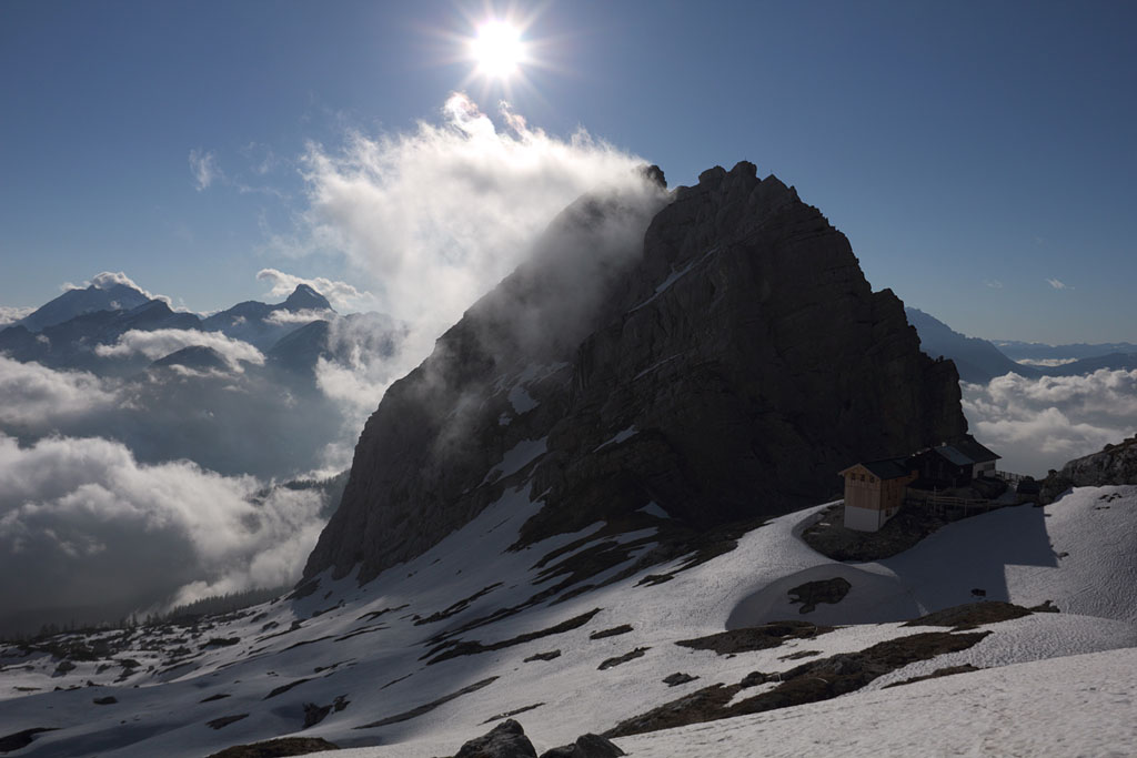
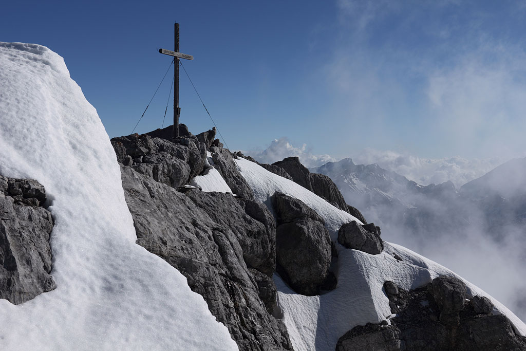
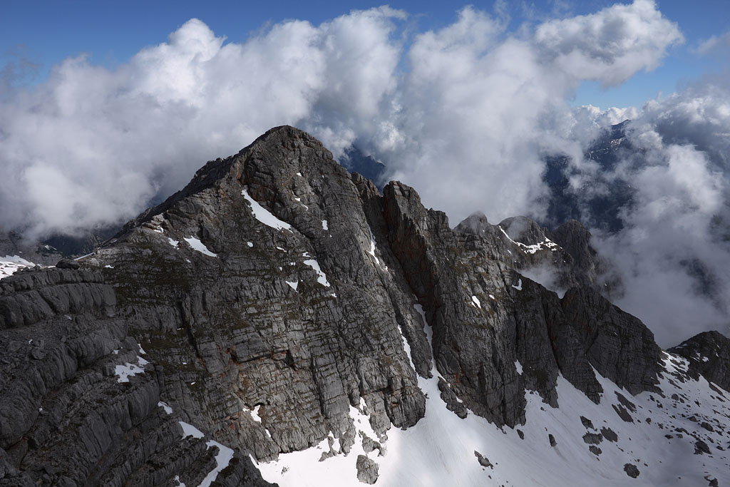
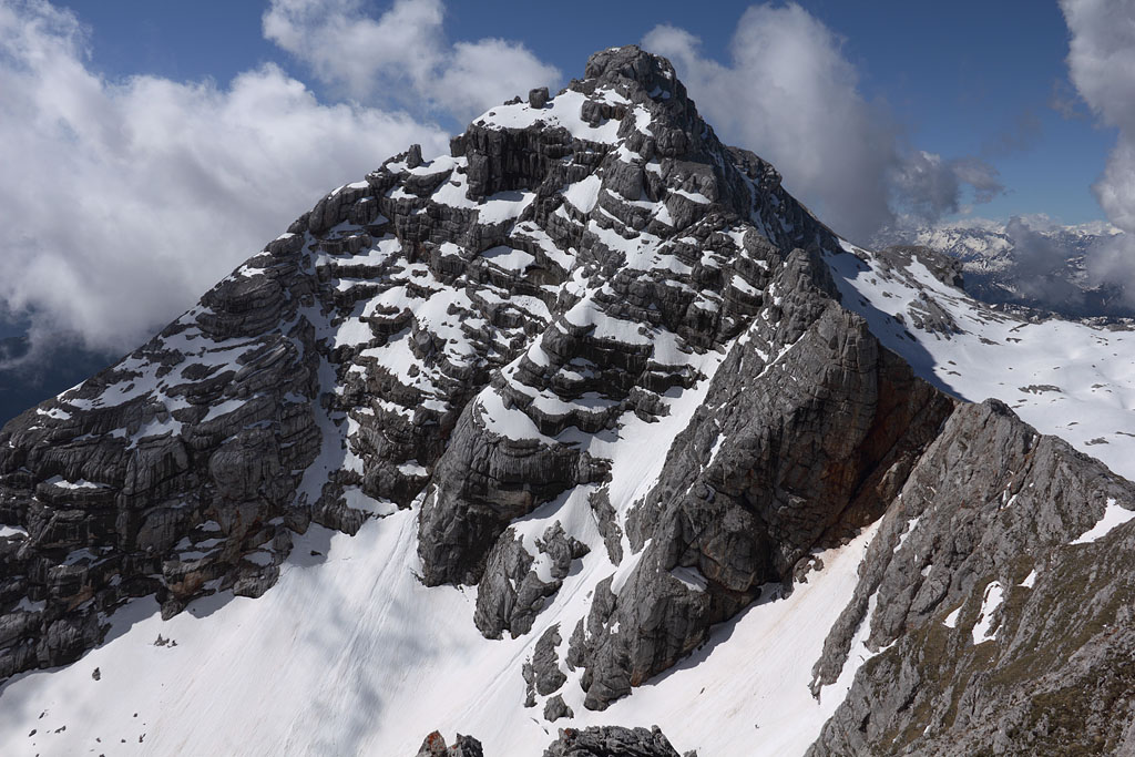
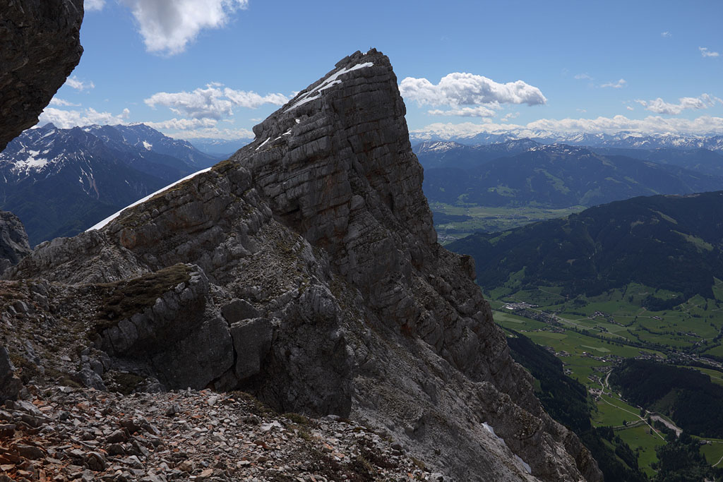
Birnhorn (2634m)
Austria-Salzburg, highest mountain of Leoganger Steinberge, 18.5.13
Day tour from Ullach, easy climb, partly steep snow on E side. Detours to Kuchelhorn (2505m), Hochzint (2251m) and W. Mitterspitze (2160m)
view back to Passauer Hut and Mitterspitzen |
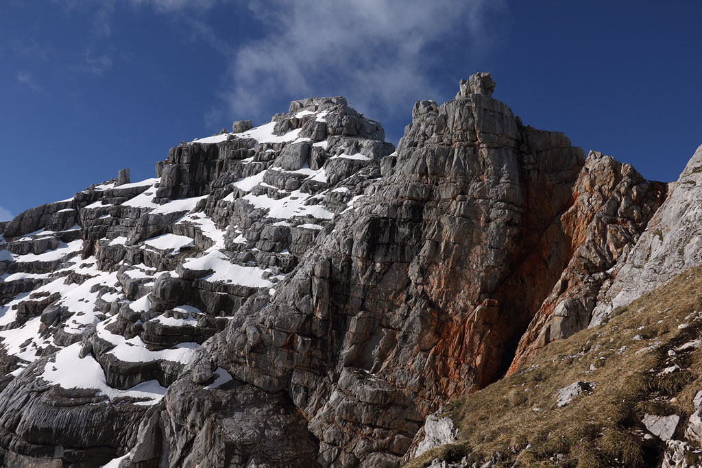
Birnhorn above |
Birnhorn summit |
view to Kuchelhorn, my next destination |
view from Kuchelhorn back to Birnhorn |
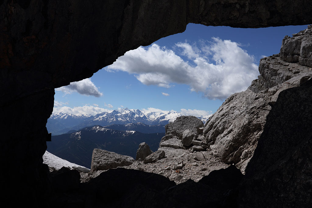
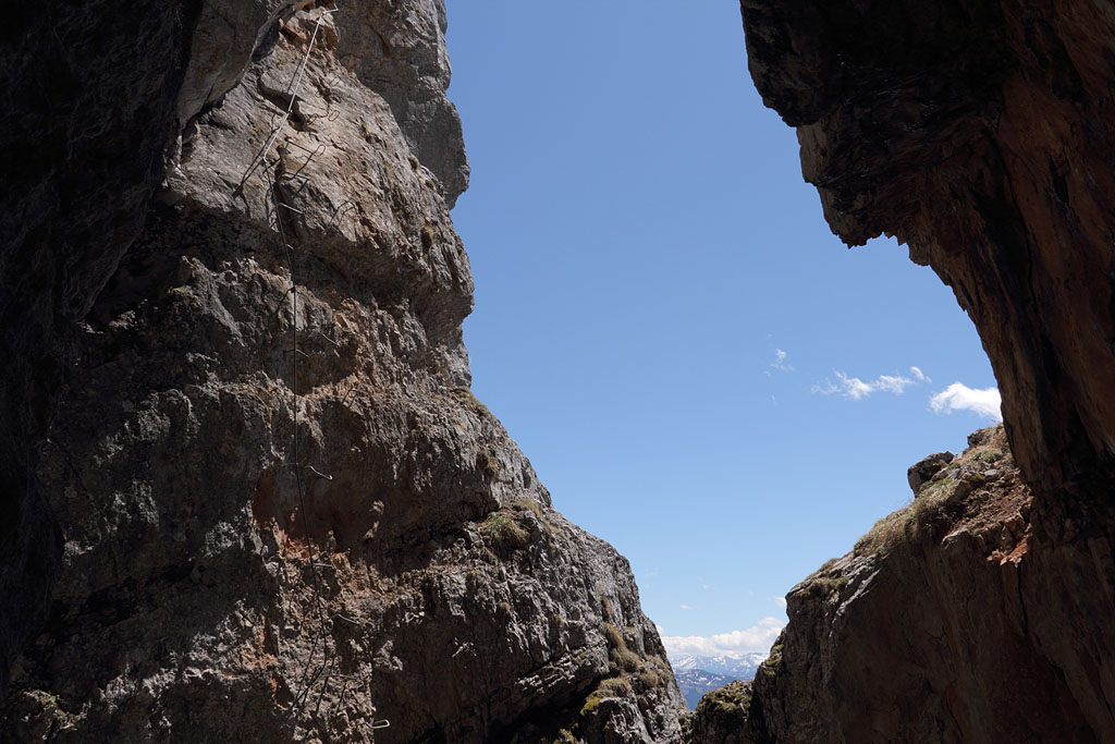
natural arch called Melkerloch |
view to Hochzint, my following destination |
climbing fixed rope route to W. Mitterspitze |
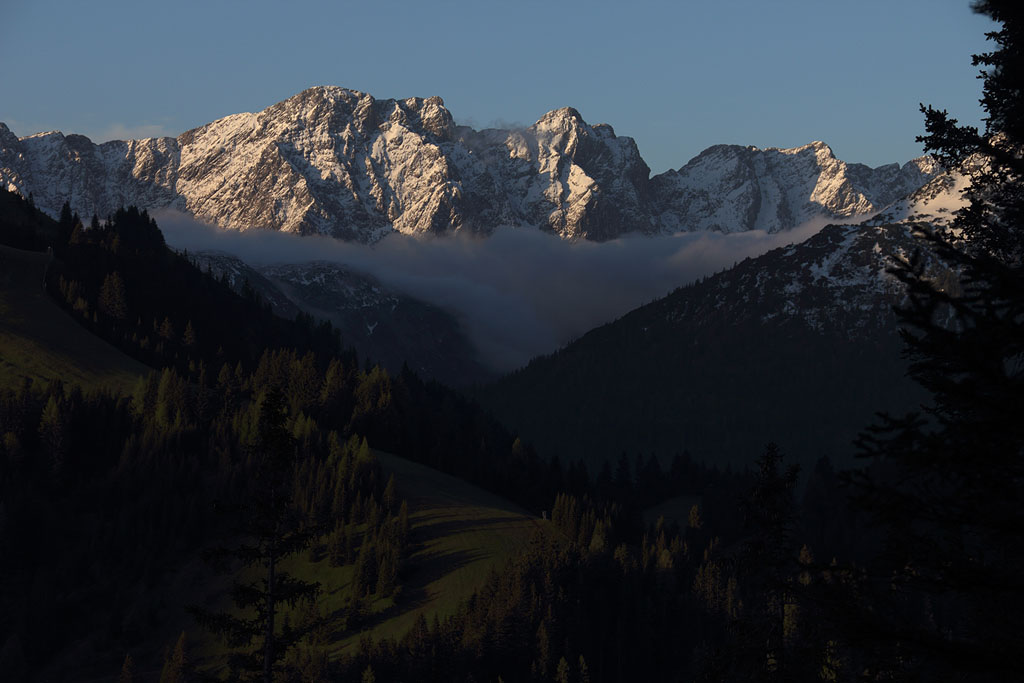
Thaneller (2343m)
Austria-Tirol-Lechtaler Alps, 5.6.13
Day tour from Berwang, easy climb with abundant snow
early morning light |
view to ascent route |
shortly before the summit |
panoramic view to E with Zugspitze behind |
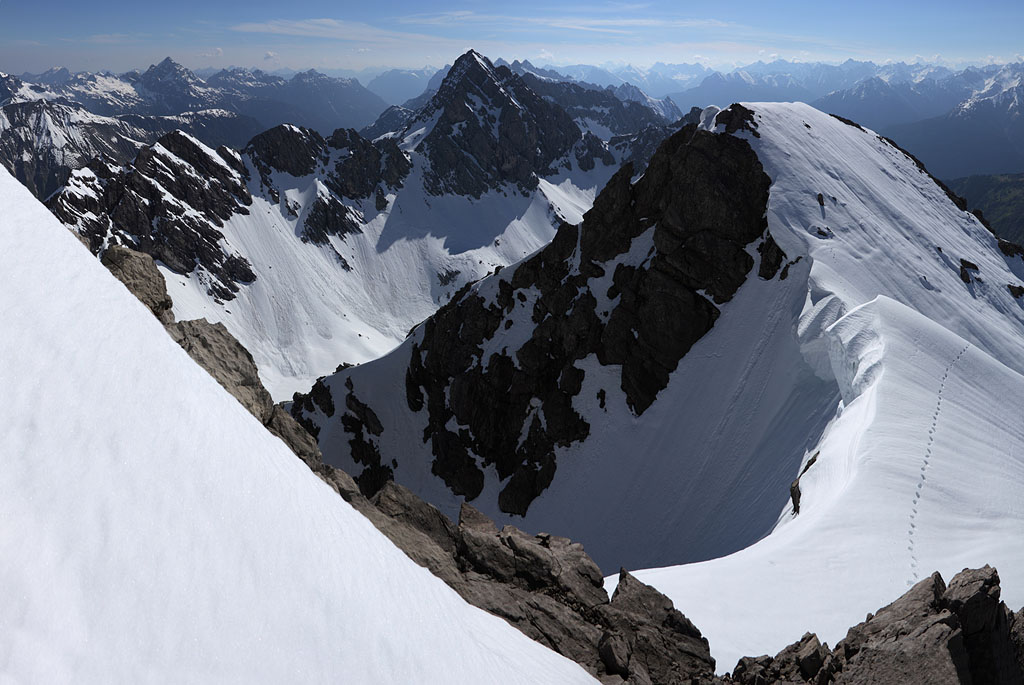
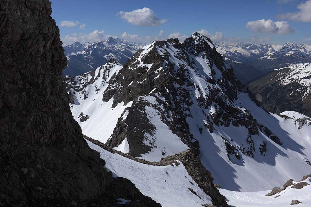
Gr. Krottenkopf (2657m)
Austria-Tirol, highest mountain of Allgäuer Alps, 8.6.13
Day tour from Holzgau, easy climb with abundant and partly steep, hard and exposed snow (crampons required) without traces
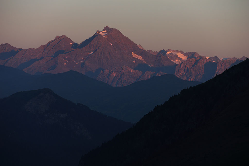
morning S-view to Wetterspitze |
final ridge to Krottenkopf summit |
E-view with my traces to the right |
S-view while descending |
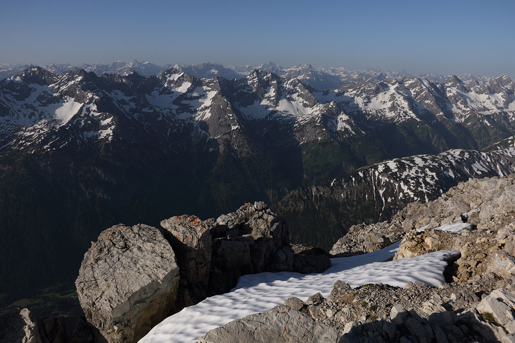
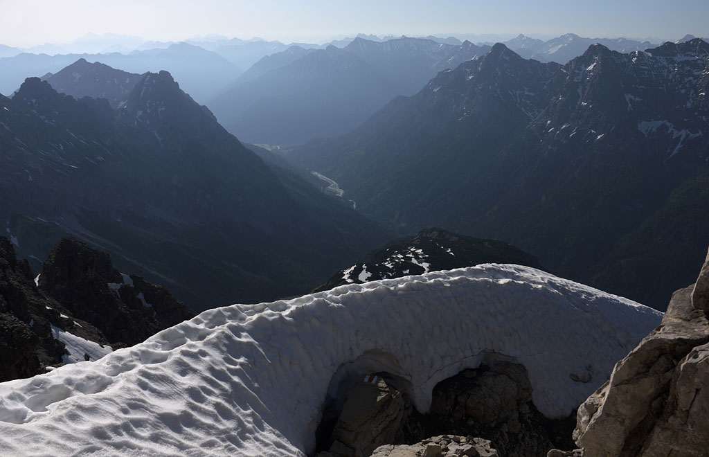
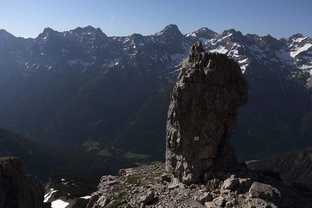
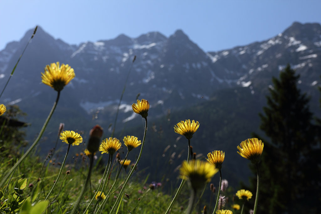
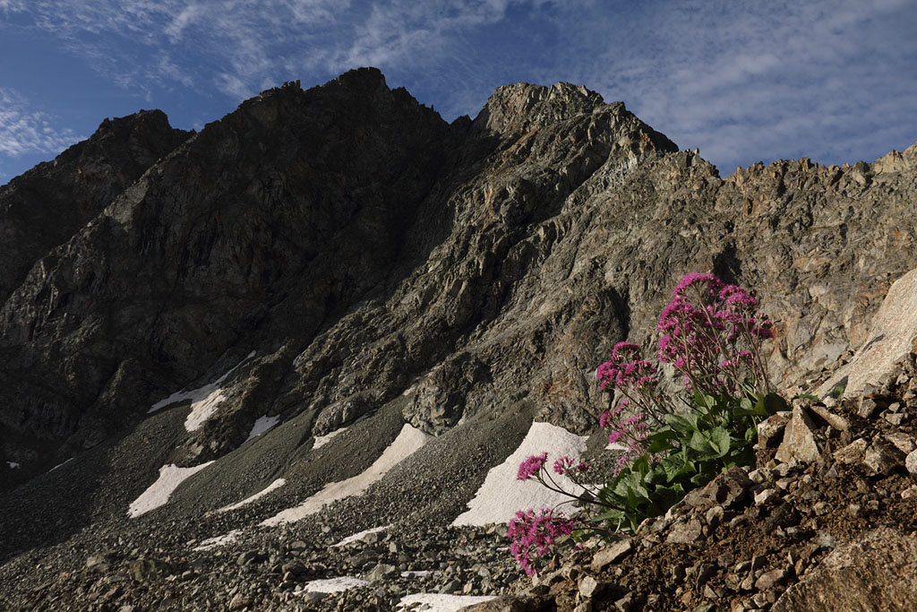
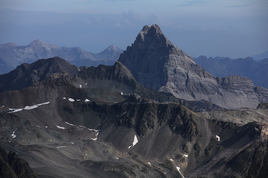
Hochvogel (2593m)
Austria-Tirol, Allgäuer Alps, 18.6.13
Day tour from Hinterhornbach (S-route), easy climb with some steeper rock parts
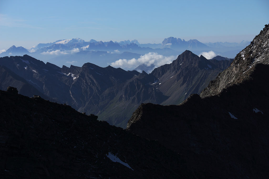
view from summit to S |
E-view while descending on the same route |
view to S |
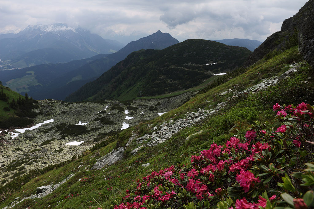
spring flowers |
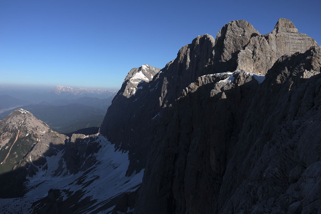
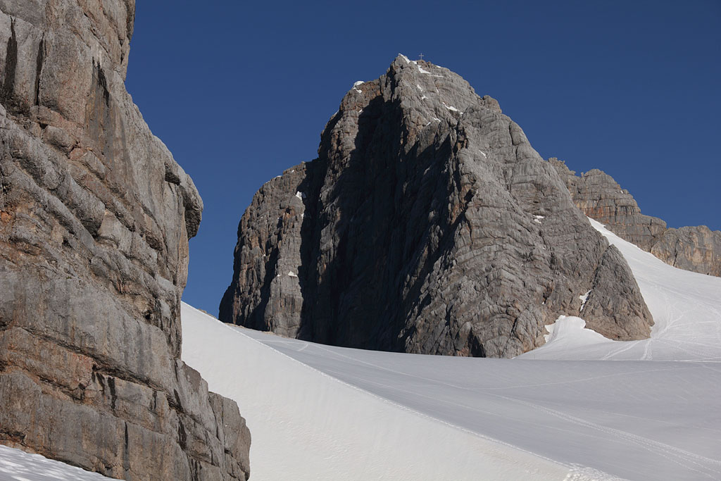
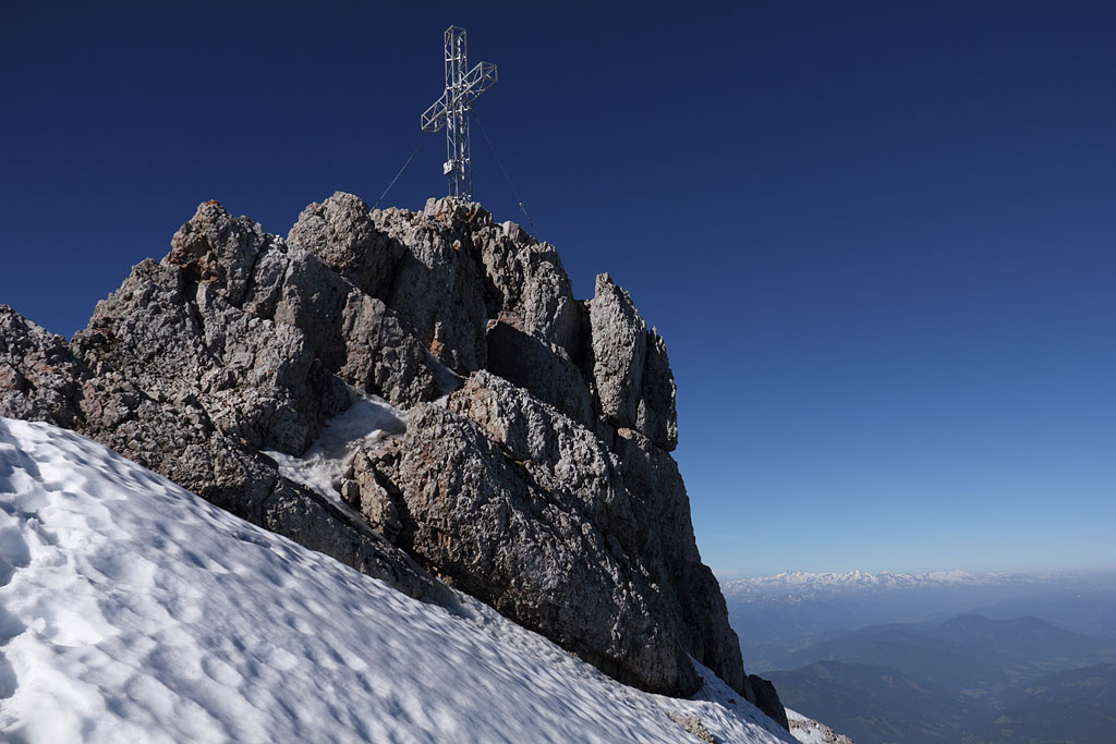
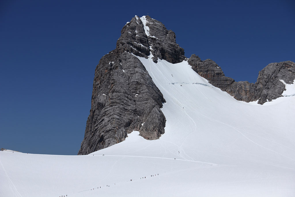
Dachstein (2995m)
Austria-Oberösterr./Steiermark, main summit of Dachstein Alps, 19.6.13
Day tour from Dachstein-road, normally easy climb (fixed ropes), but dangerous due to partly steep and unreliable snow, especially to Huner Scharte without any traces and fixed ropes buried under abundant snow.
Detour to Kl. Gjaidstein (2735m) and Hoher Gjaidstein (2794m)
view to S-wall and Dachstein summit |
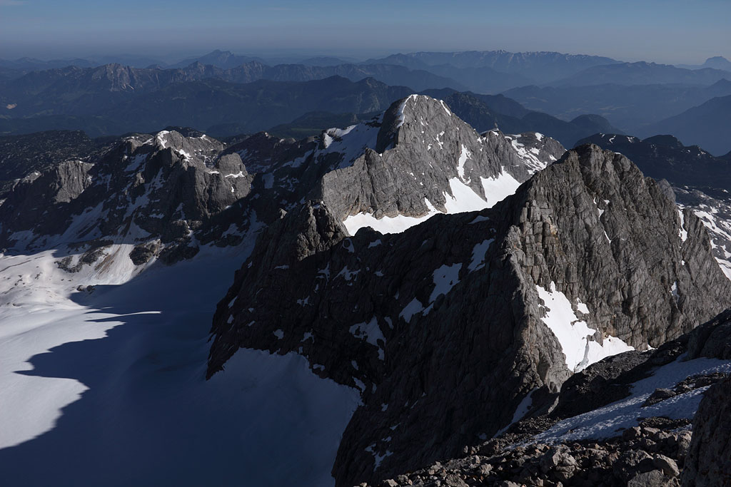
view to summit from Hallstätter Glacier below |
view back to final ascent route |
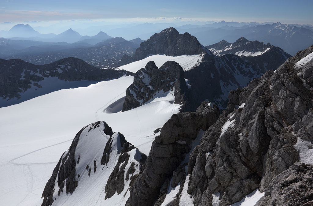
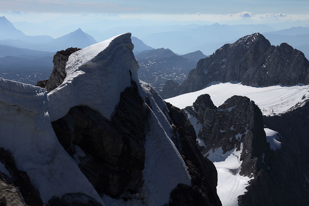
view down to Hallstätter Glacier |
summit ahead |
S view down to Niederer Dachstein |
summit view to E |
view back to summit with ascent route |
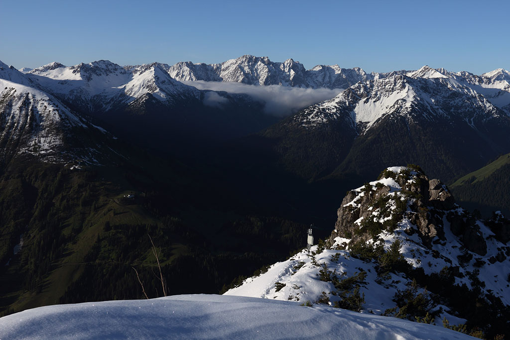
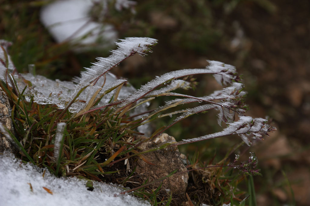
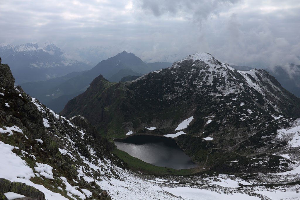
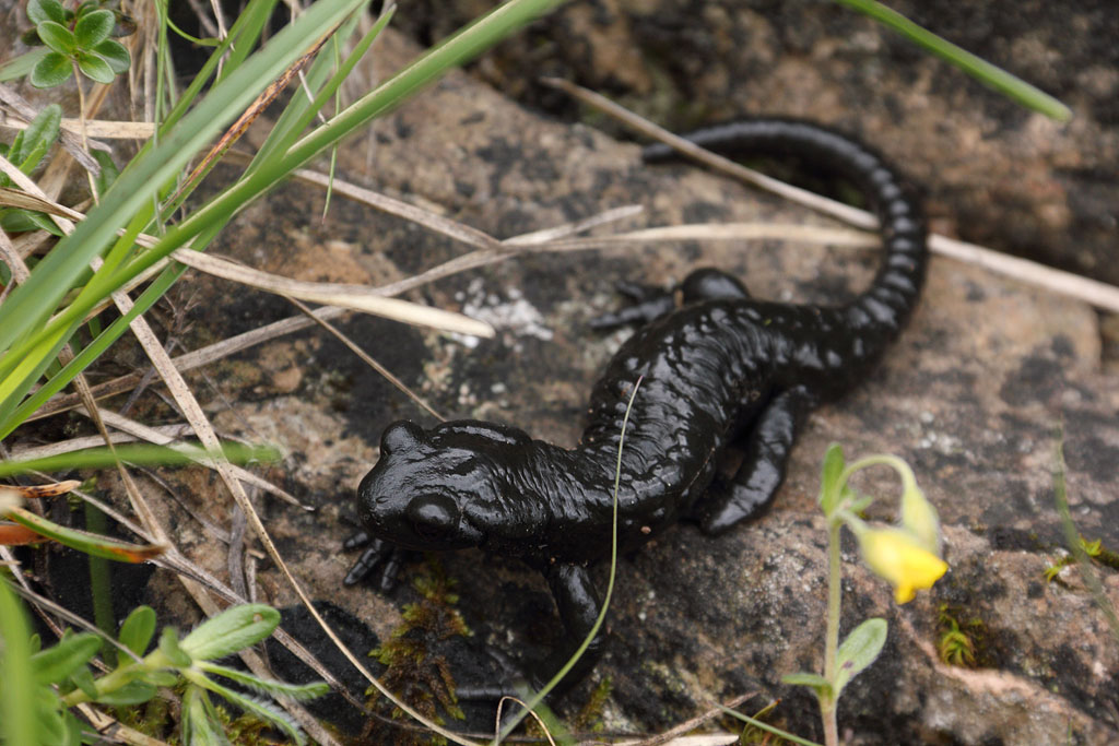
Wildseeloder (2118m)
Austria-Tirol, Kitzbüheler Alps, 27.6.13
Day tour from Fieberbrunn, easy walk but weak fresh snow. Additional crossing of Henne (2078m) and Marokka (2019m)
Ice forming |
view from summit to E, Henne summit above lake |
alpine salamander |
alpine rose |
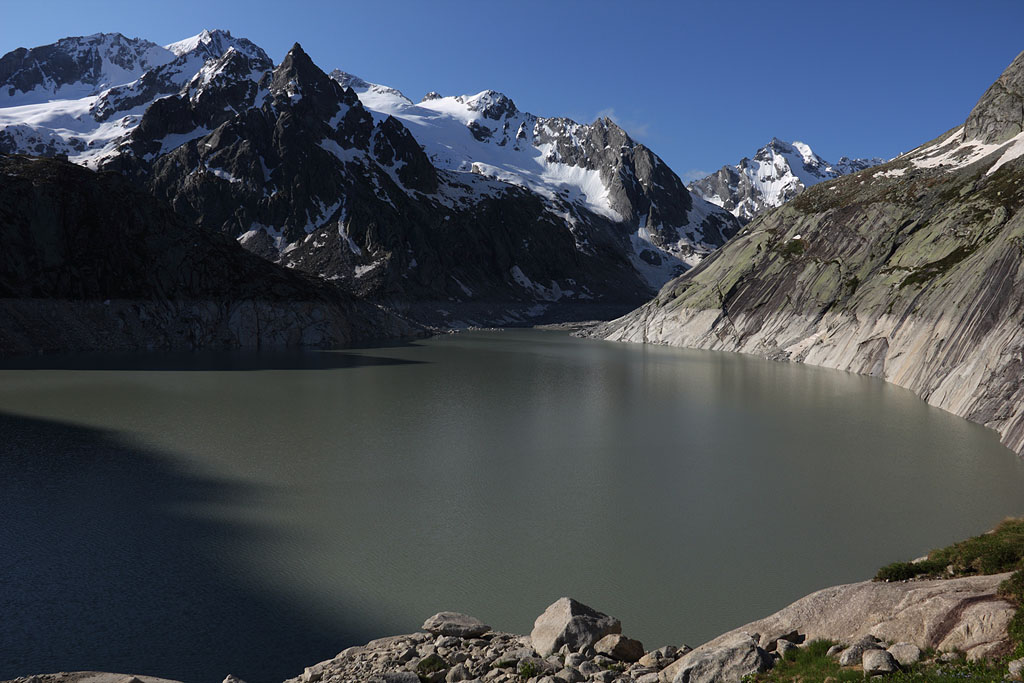
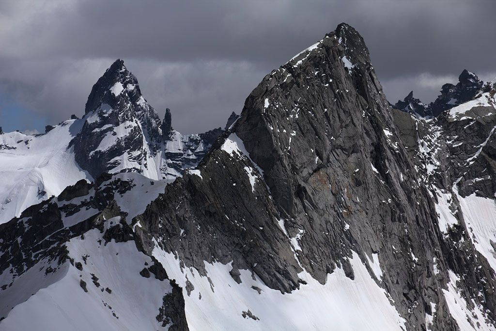
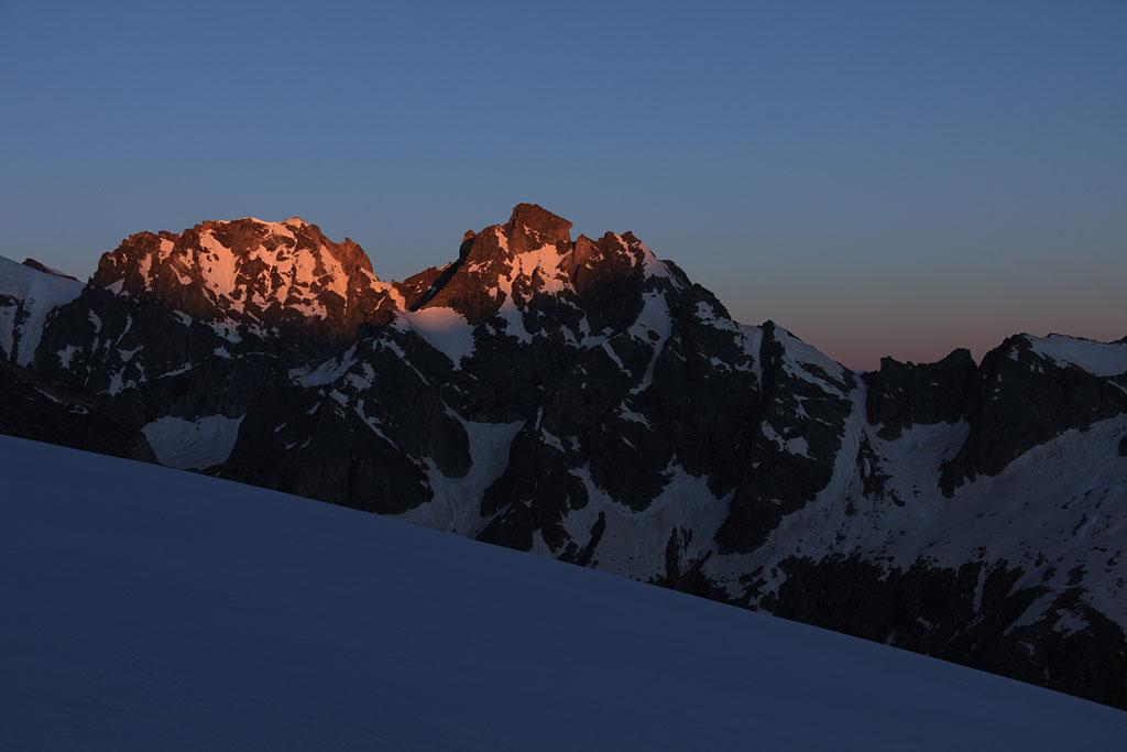
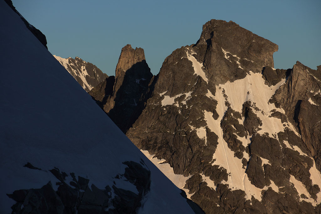
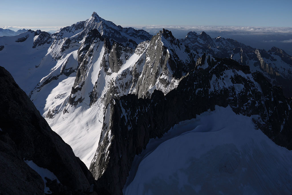
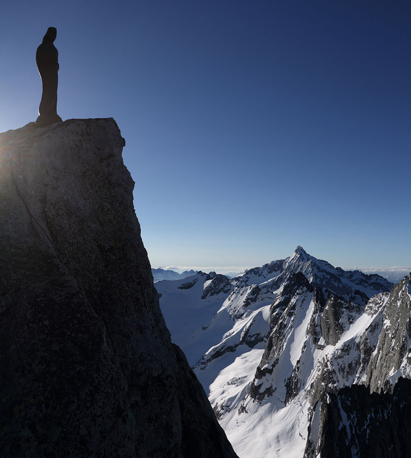
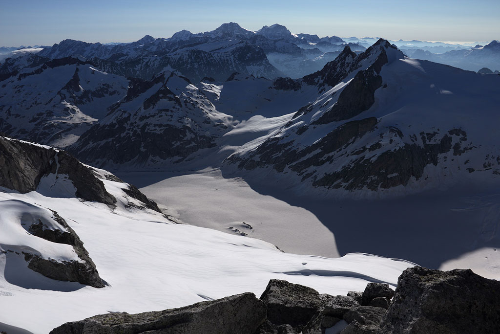
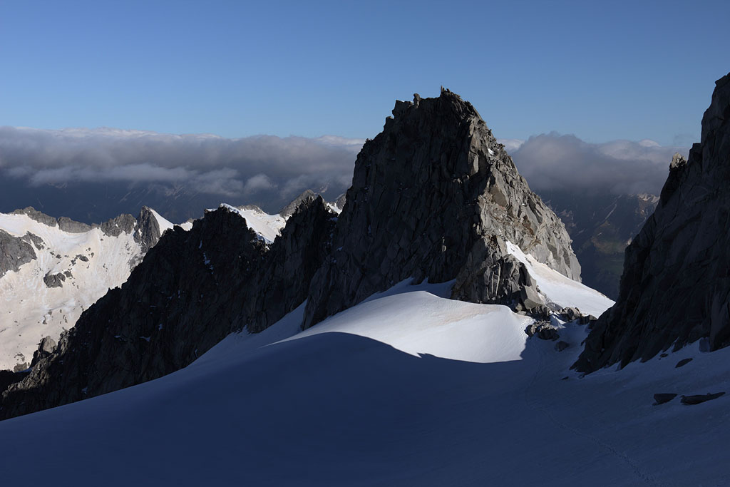
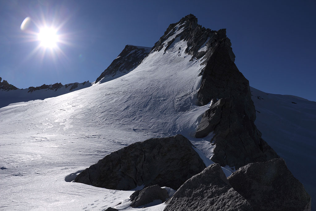
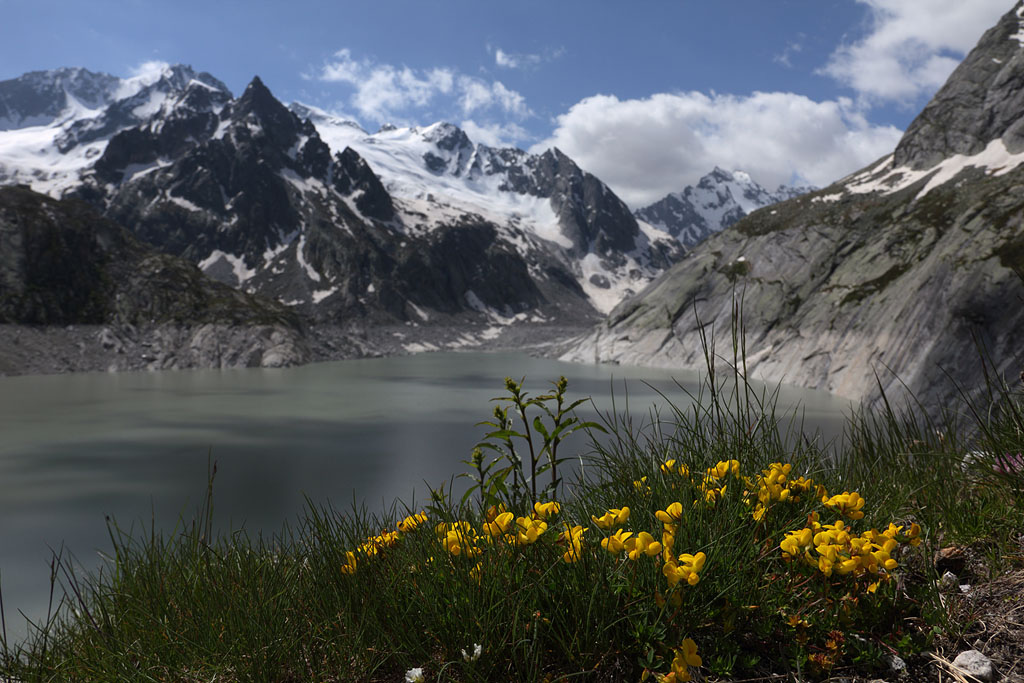
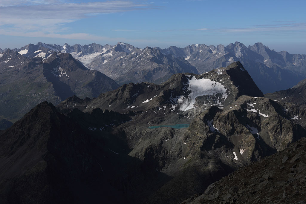
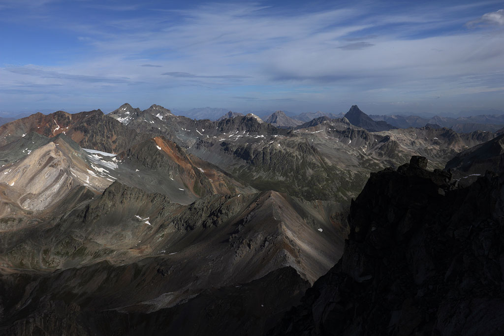
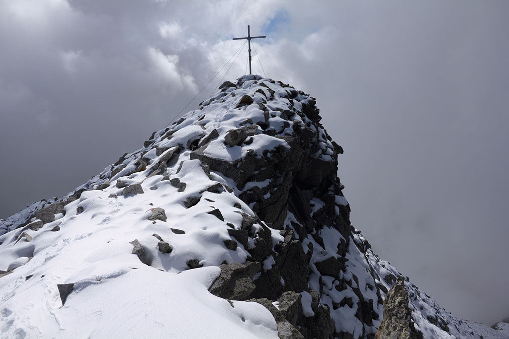
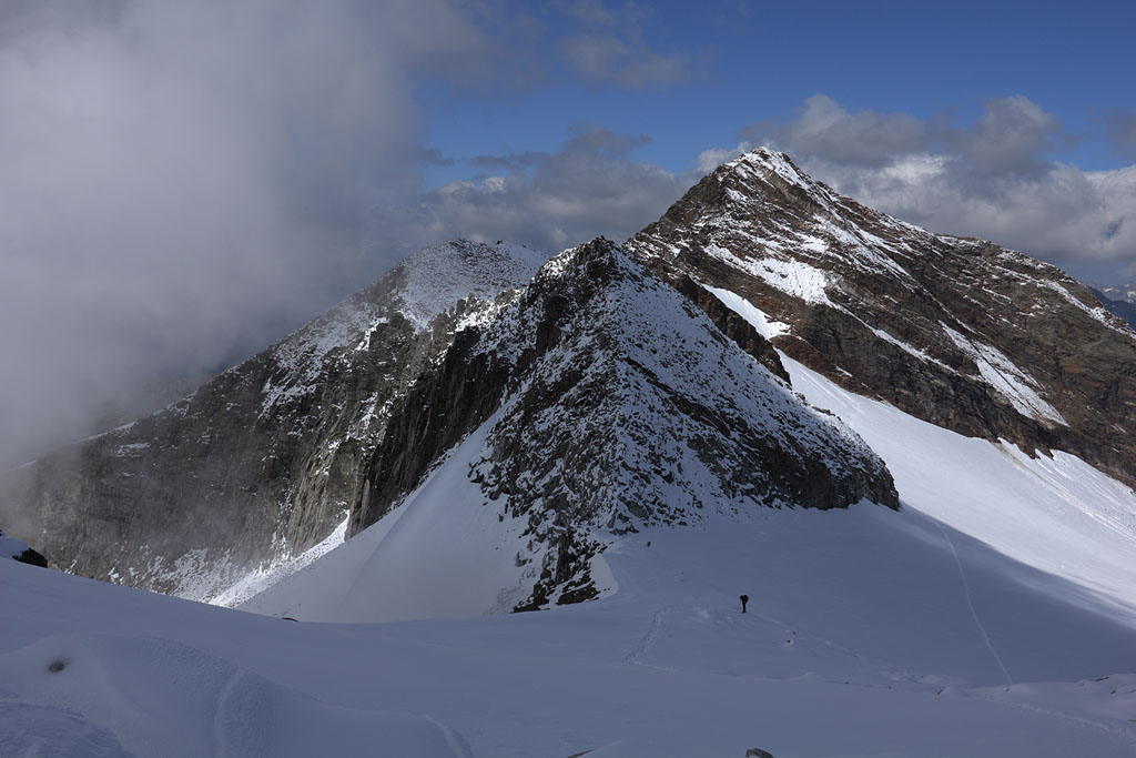
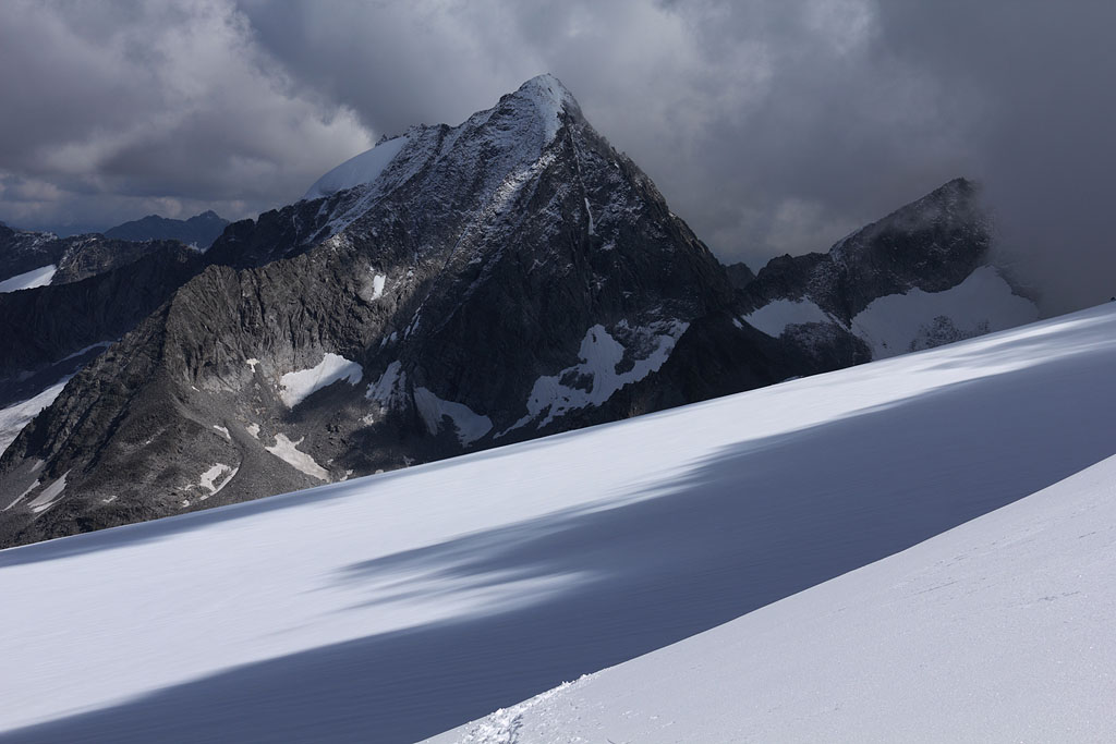
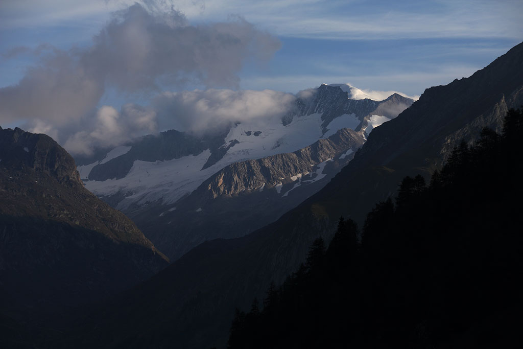
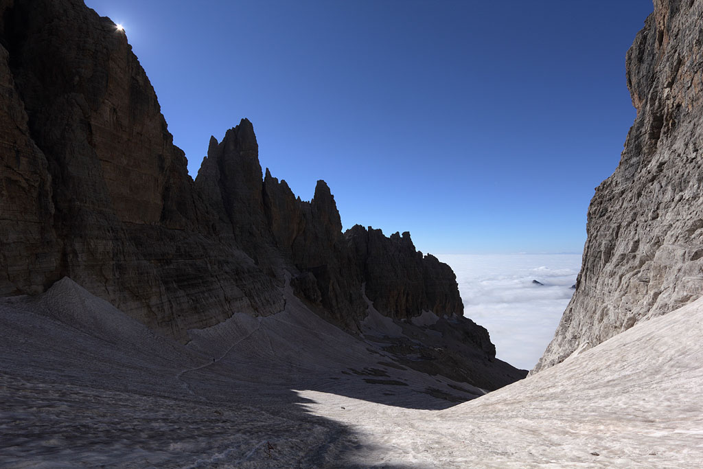
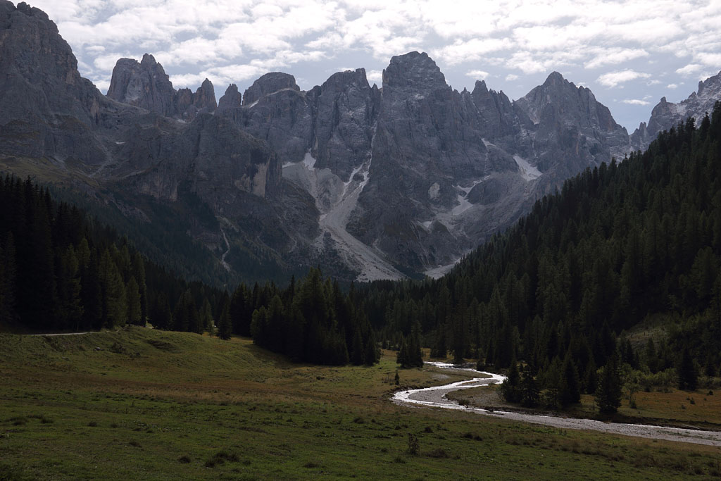
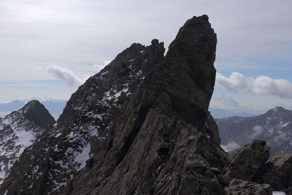
Piz Casnil (3189m) and Cima di Castello (3379m)
Switzerland-Graubünden, highest mountain of central Bergell Alps, 30.6.-1.7.13
2 day tour from Albigna lake
1.th day: Piz Casnil S-ridge, easy but exposed climb (ridge partly grade II+) with abundant snow without traces, night in Albigna Hut.
2.th day: Cima di Castello normal route from N, easy climb due to perfect snow conditions with traces.
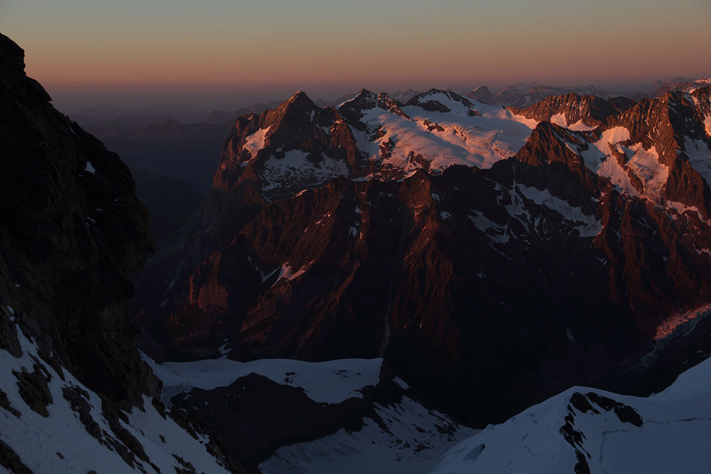
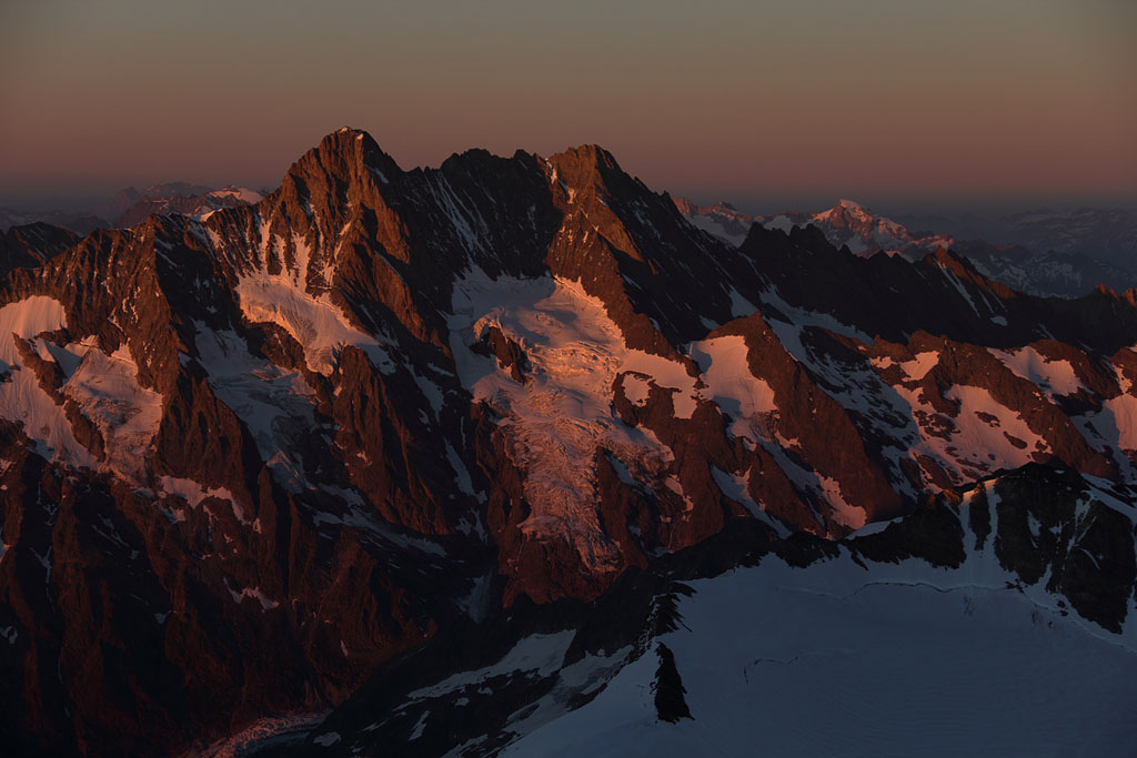
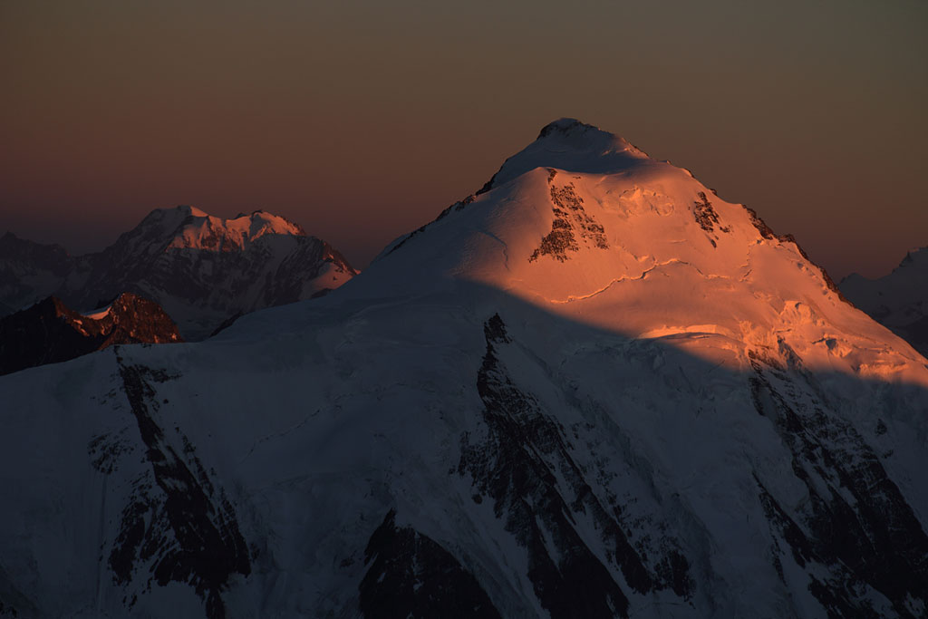
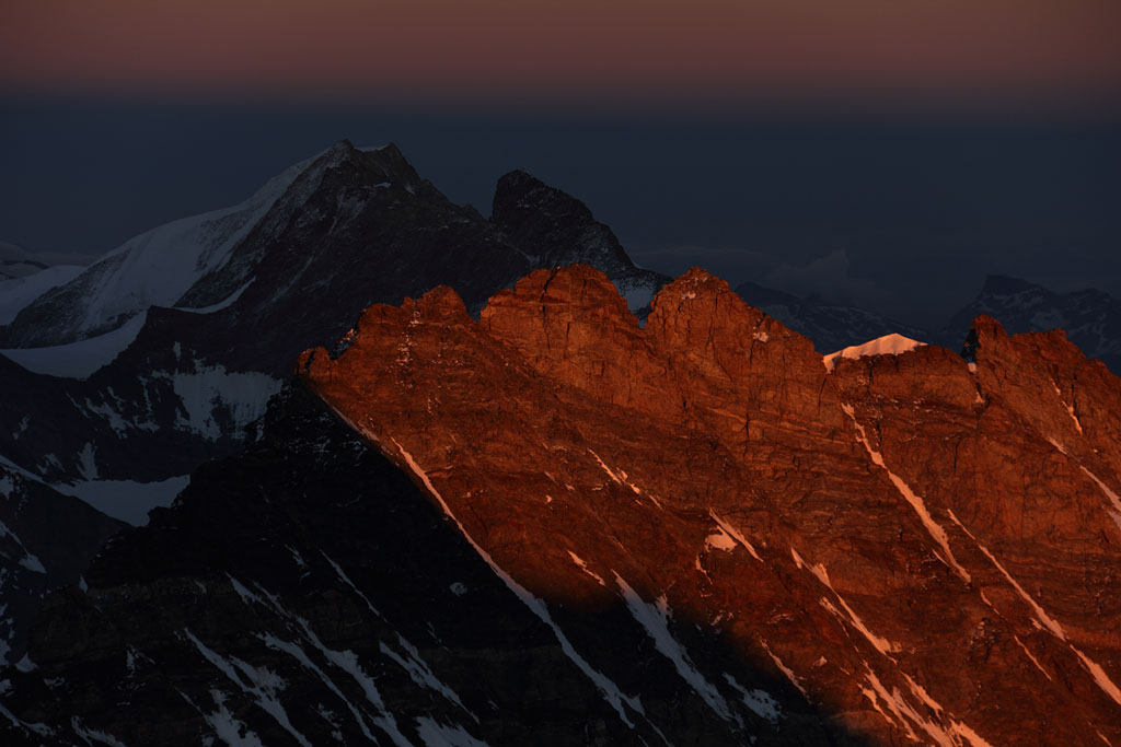
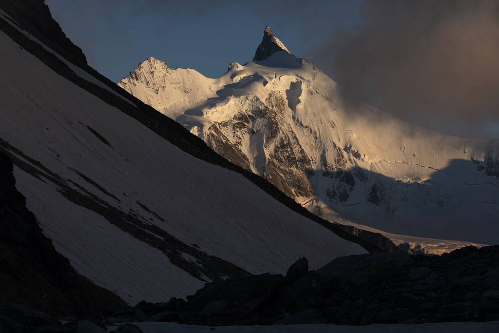
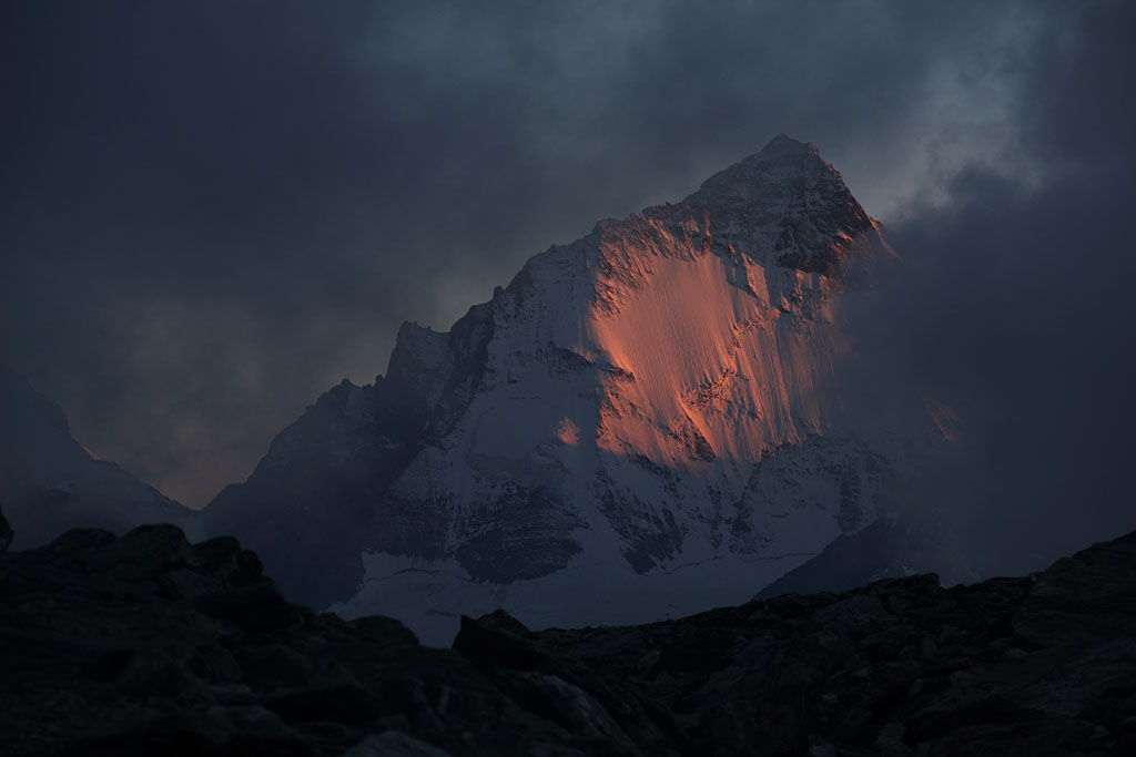
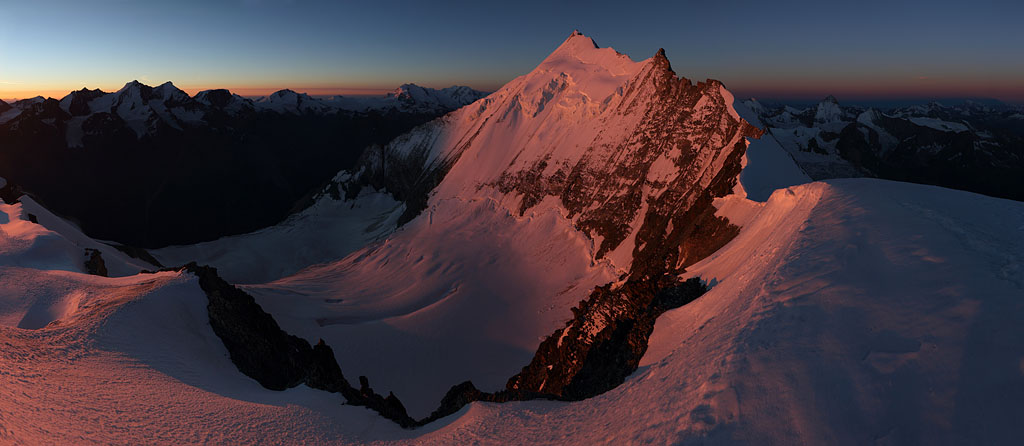
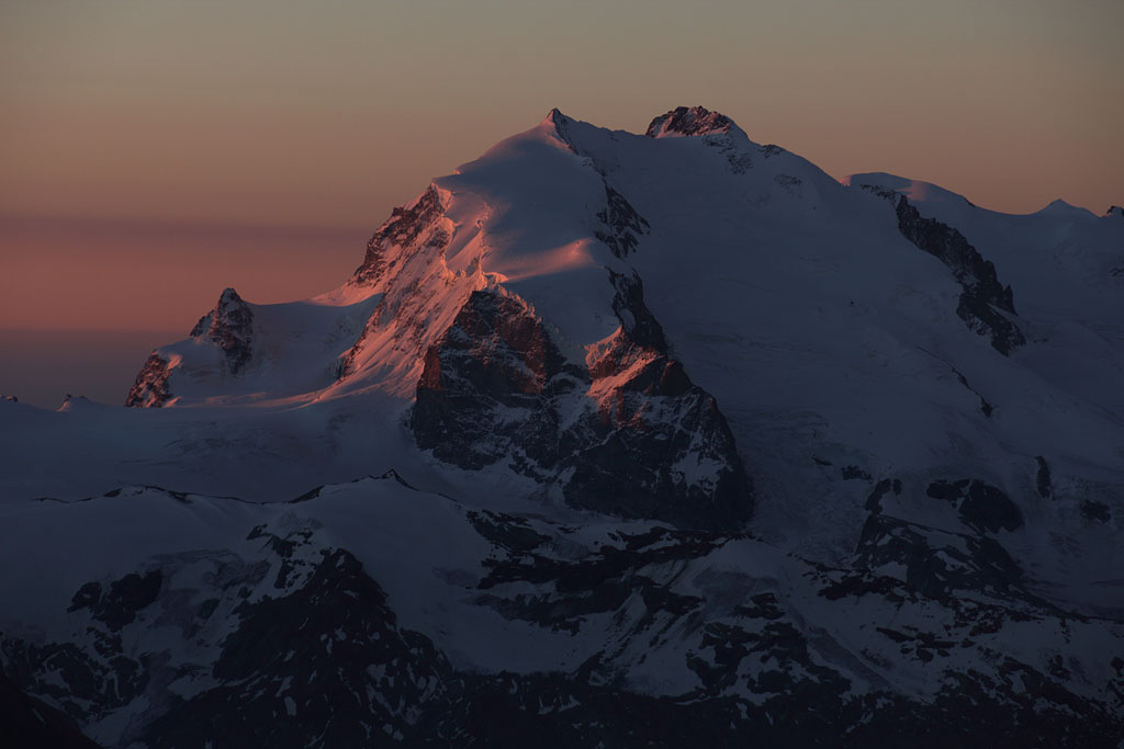
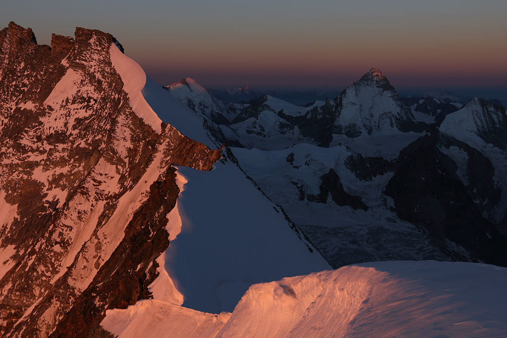
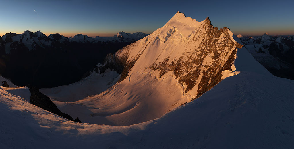
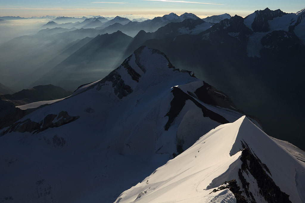
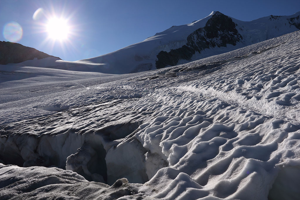
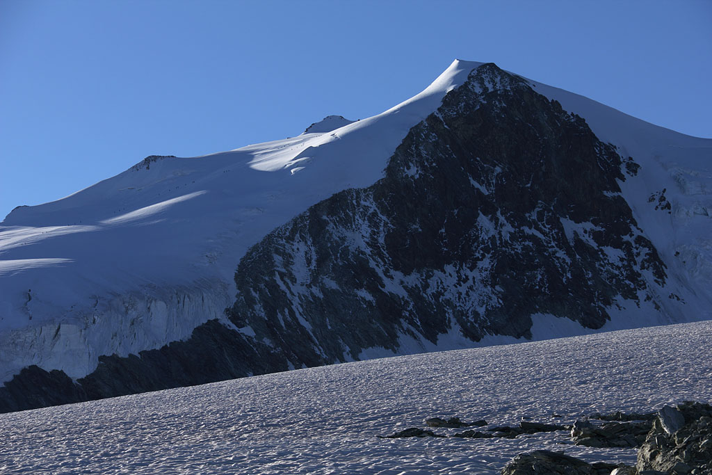
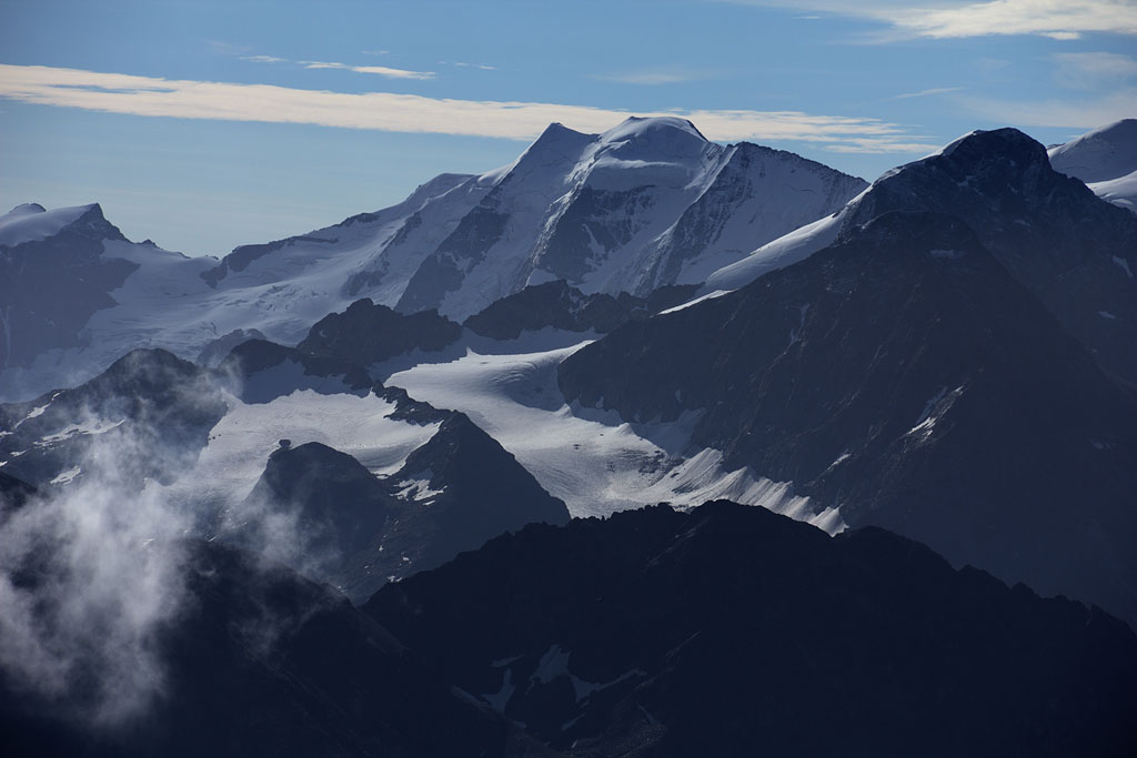
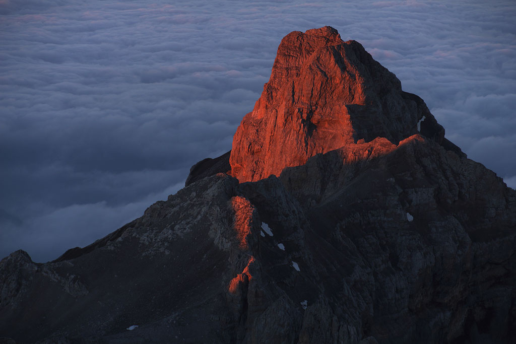
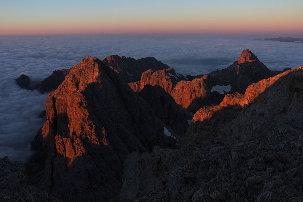
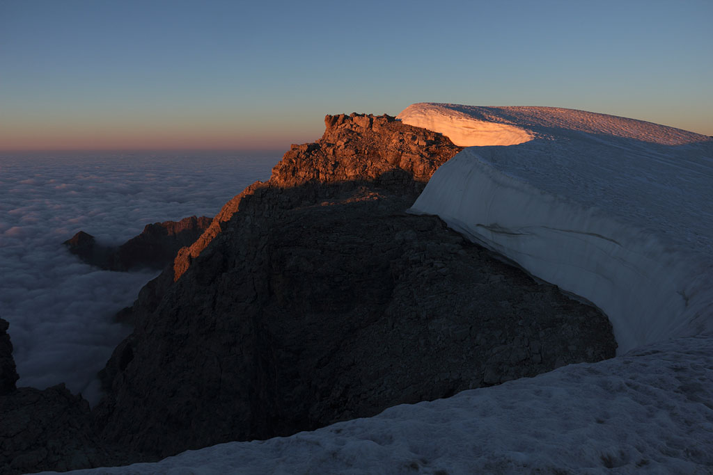
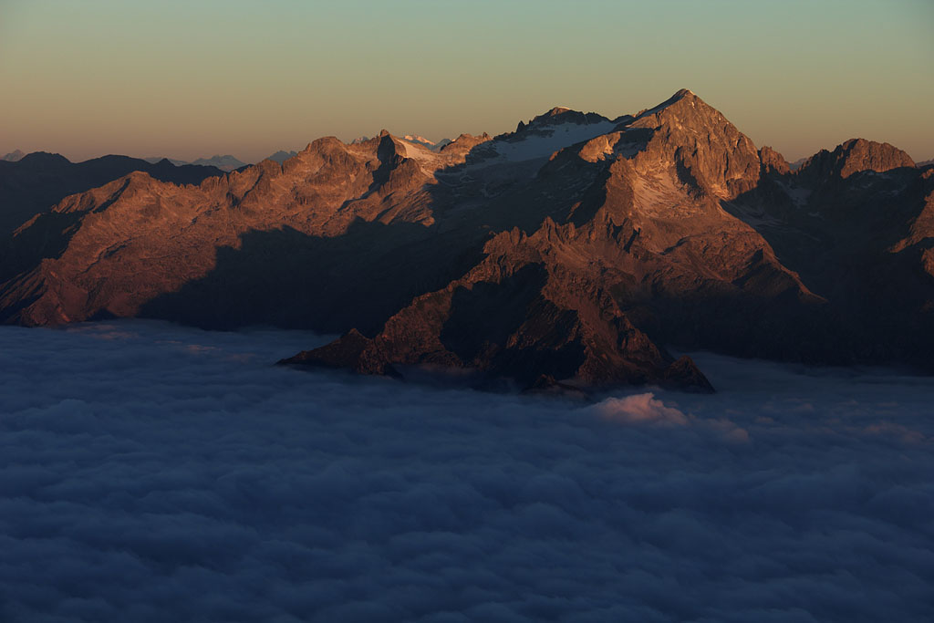
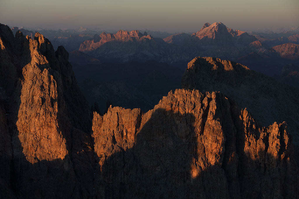
Piz Palü (3900m) - Piz Bernina (4048m) - Piz Zupo (3996m) - Piz Argient (3945m)
Switzerland-Graubünden, Bernina Alps, highest mountain of Eastern Alps, 5.7.-7.7.13
3 day tour from Diavolezza
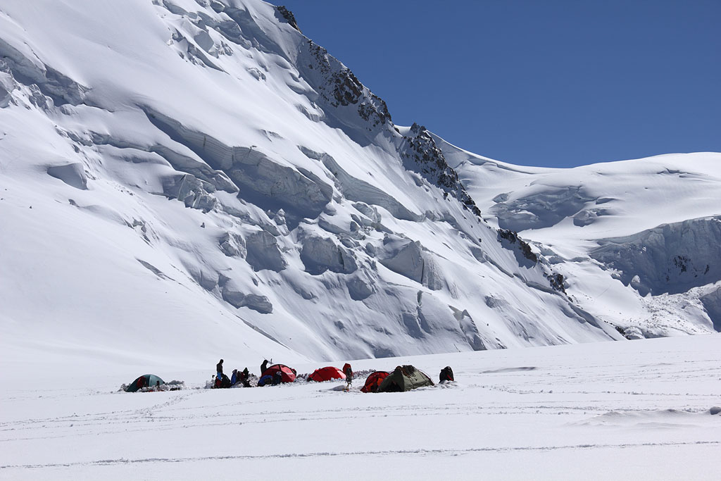
1.th day: crossing to Furcola Trovat and tent night near the glacier.
2.th day: crossing of Piz Palü E (3882m), Piz Palü Main (3900m) and Piz Spinas (3823m),
easy climb (Spinas ridge grade II), tent night near Marco e Rosa Hut.
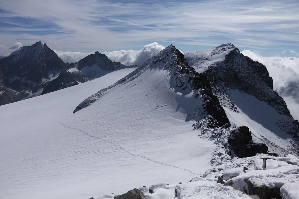
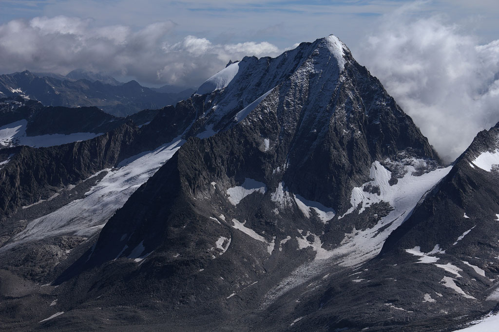
3.th day: Piz Bernina (4048m) via Spalla ridge, detour with crossing of Piz Zupo and Piz Argient,
descent via Fortzezza ridge, easy but long climb (few parts grade II+), weak snow in afternoon.
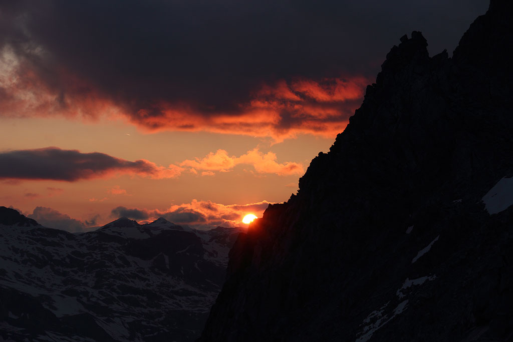
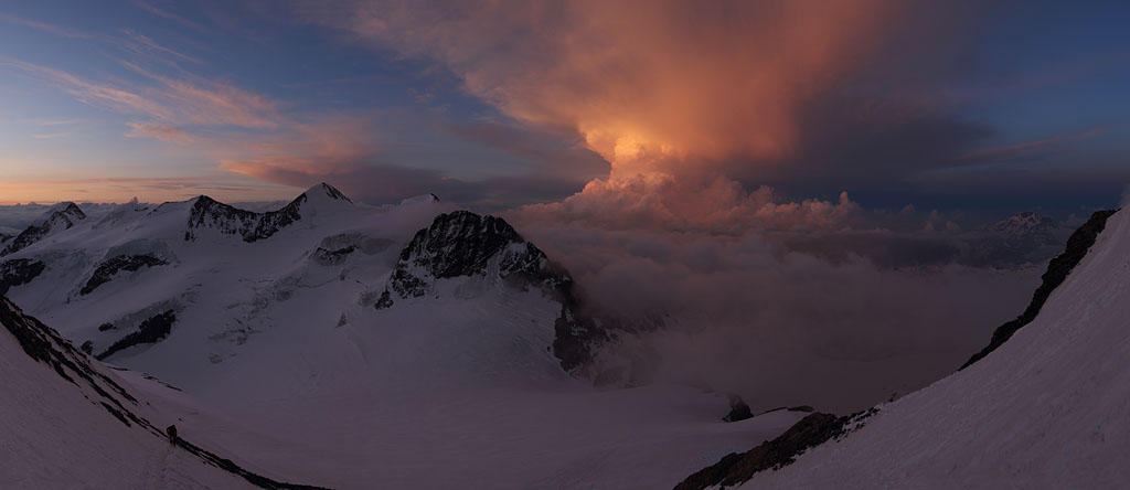
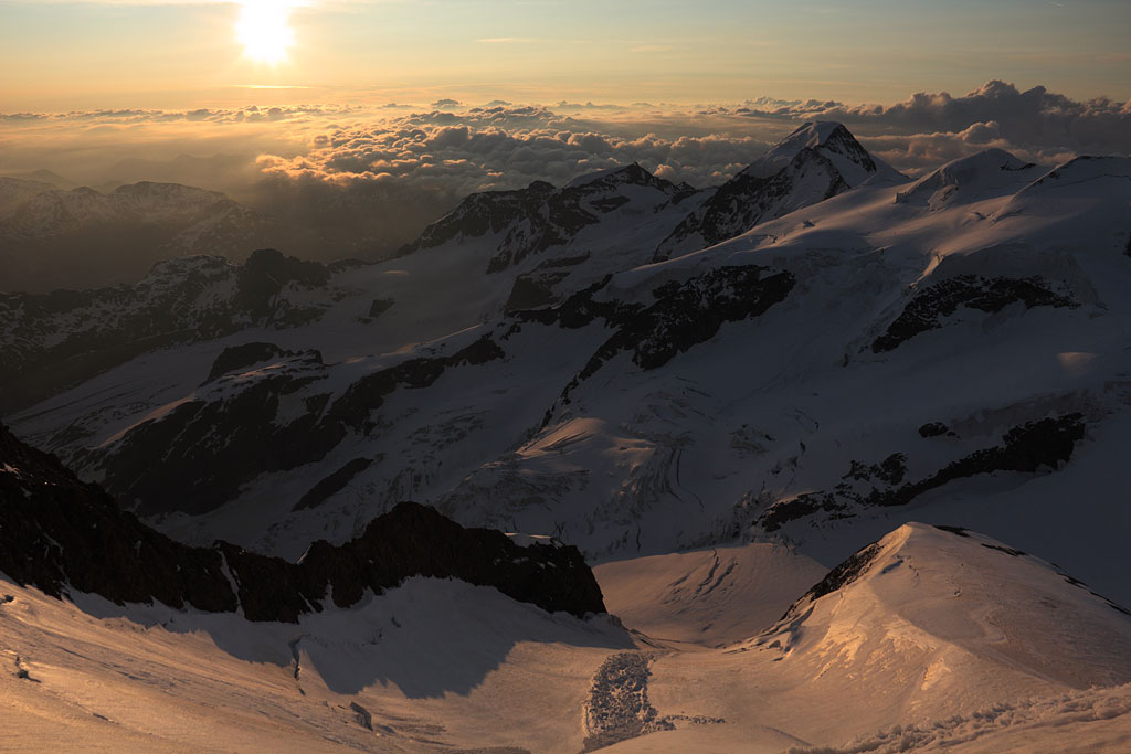
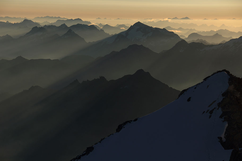
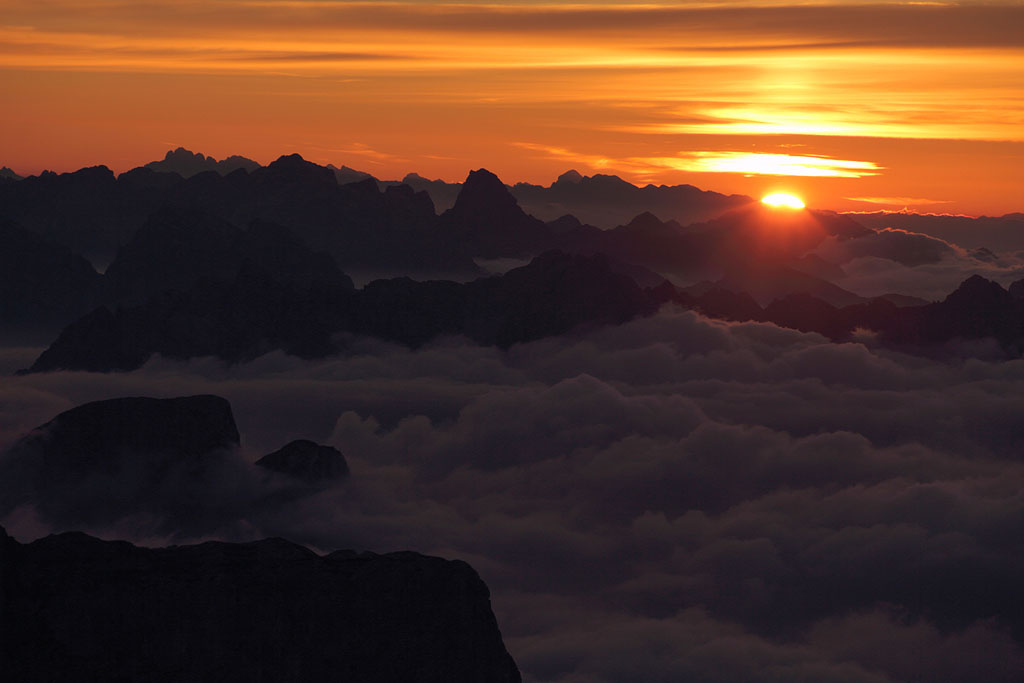
sunset seen from Furcola Trovat |
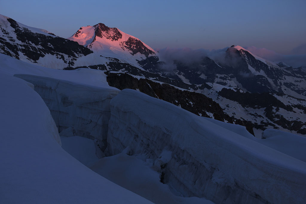
first light on Piz Bernina and Piz Morteratsch |
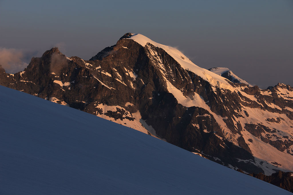
view to Piz Morteratsch |
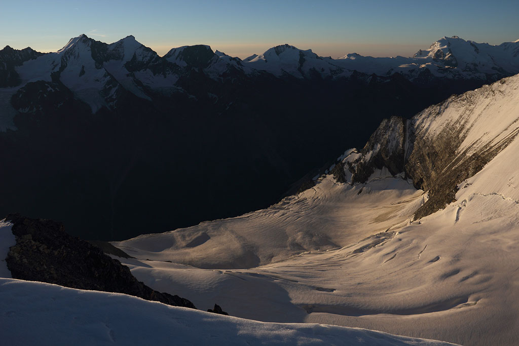
view to N |
view to E with distant Ortler range |
final ridge to Piz Palü E |
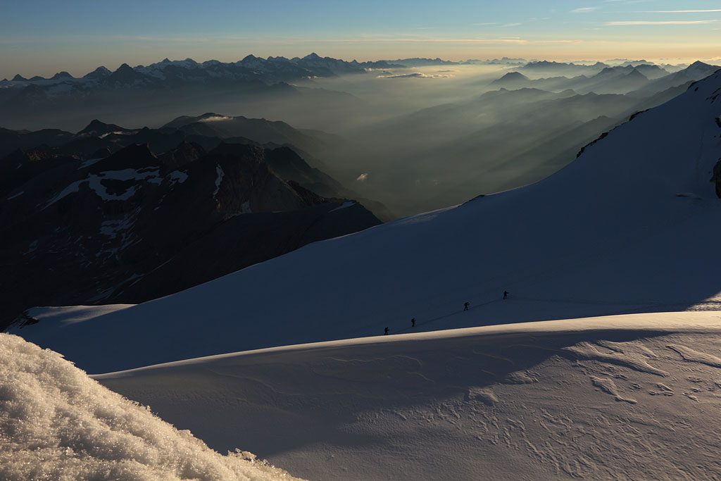
climbing Spinas ridge with view back to Piz Palü |
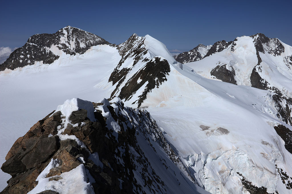
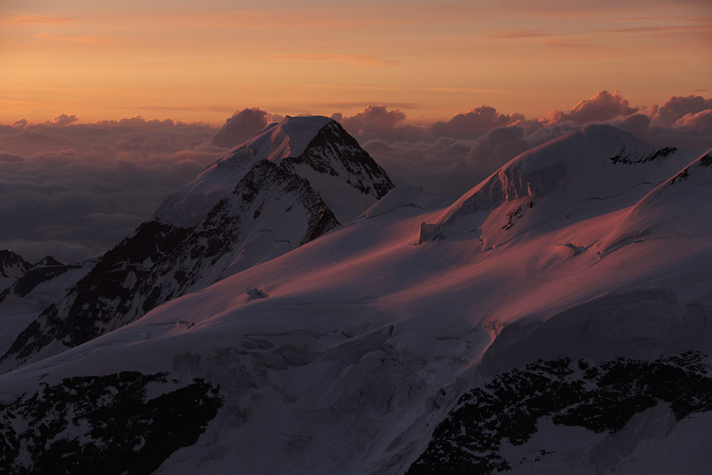
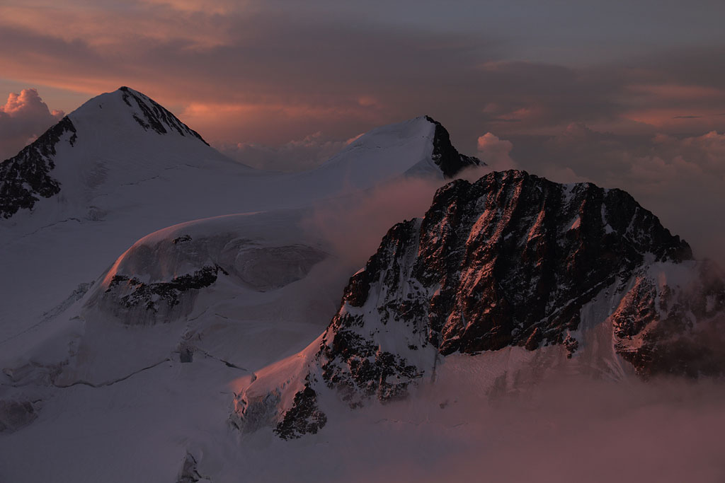
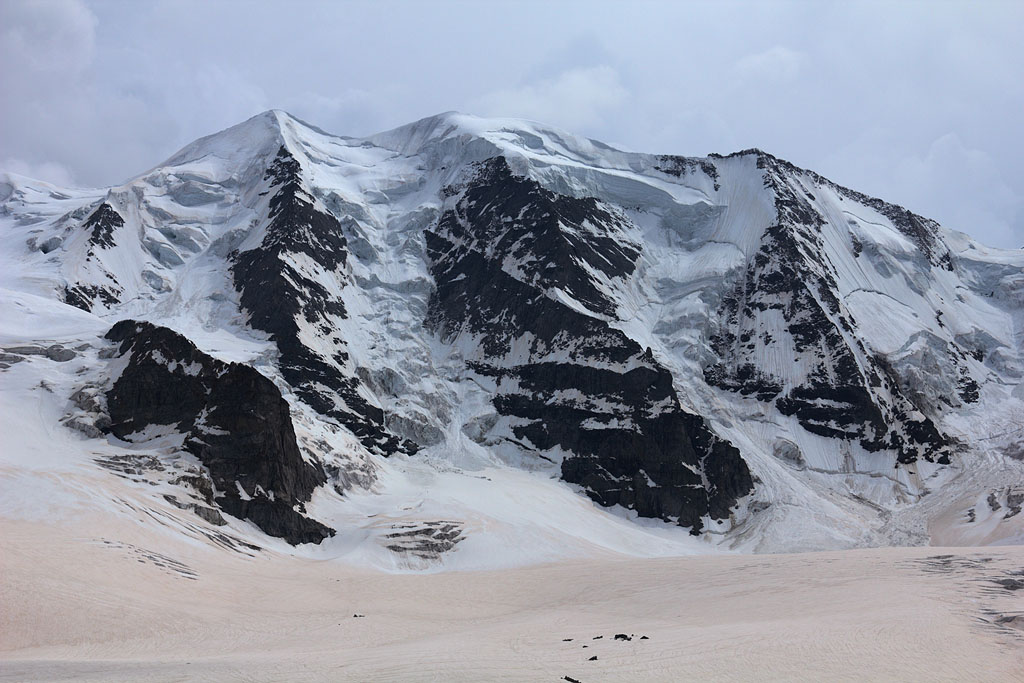
W-view to Piz Zupo (left) and Piz Bernina (right) |
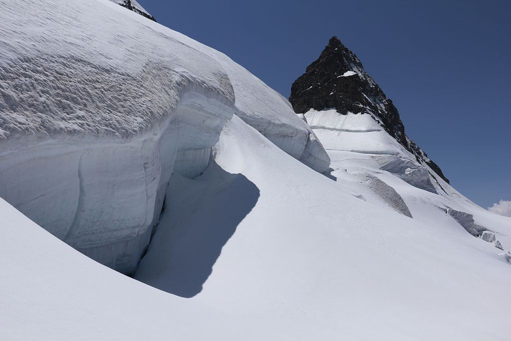
bypassing Crast' Agüzza |
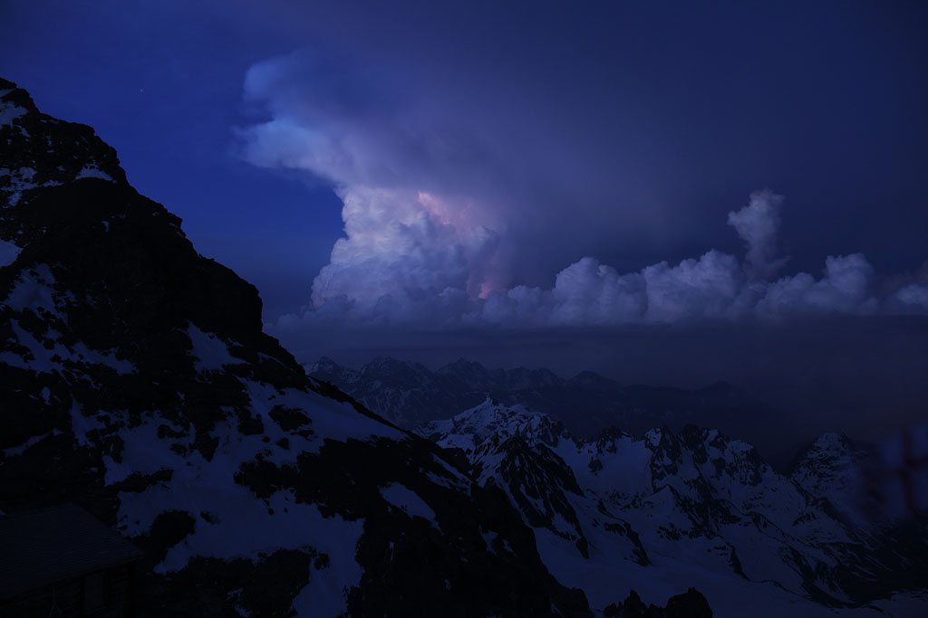
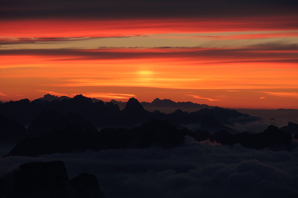
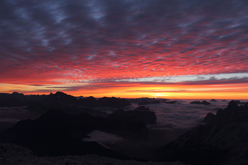
approaching Thunderstorm with lightning |
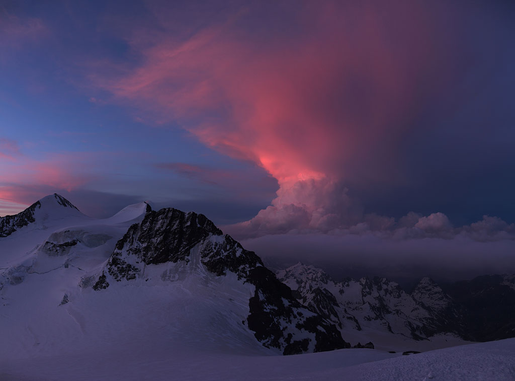
Thunderstorm at sunrise |
Thunderstorm at sunrise with Piz Zupo to the left |
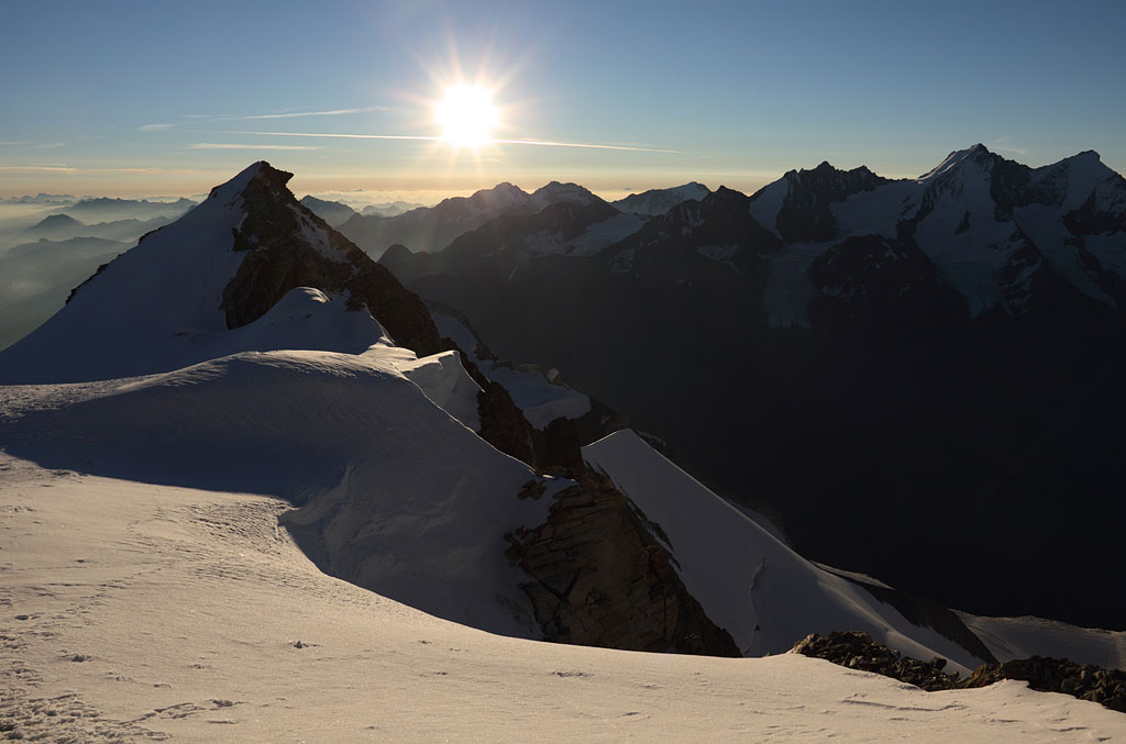
first sunlight with Piz Palü to the right |
from left to right: Piz Zupo-Argient-Crast'Agüzza |
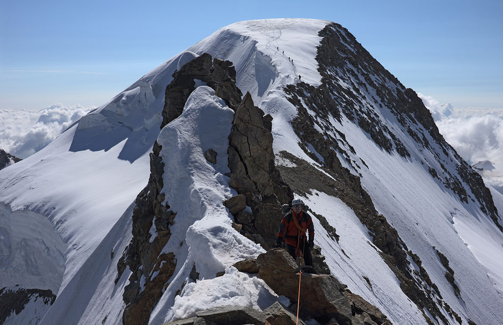
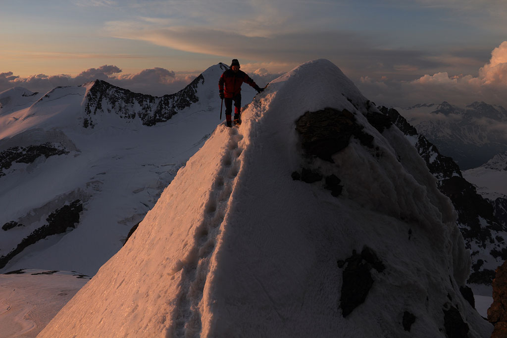
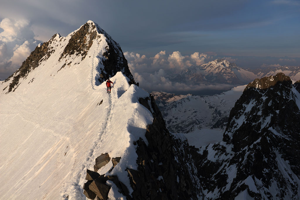
Thorsten following on Spalla ridge |
eary morning view to E |
Thorsten following on Spalla ridge |
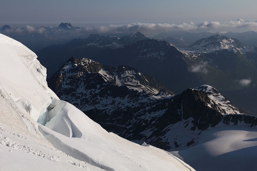
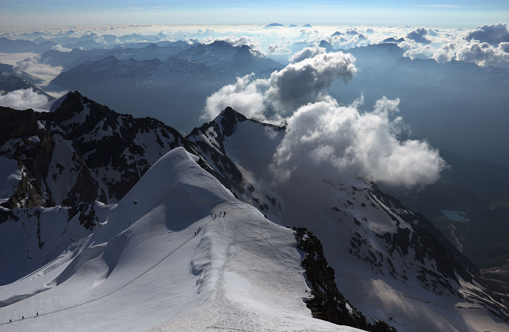
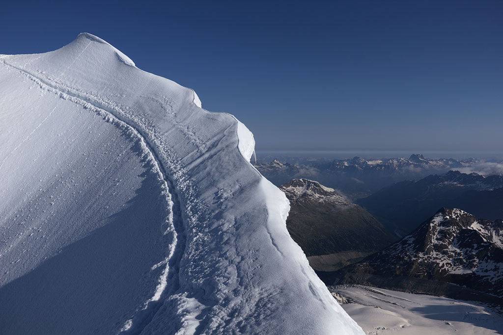
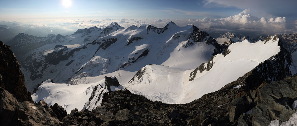
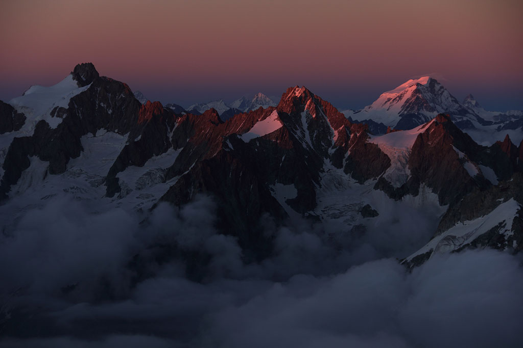
panoramic view from Piz Bernina to S |
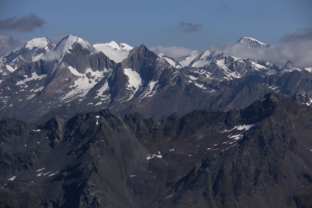
view from Piz Argient back to Piz Zupo |
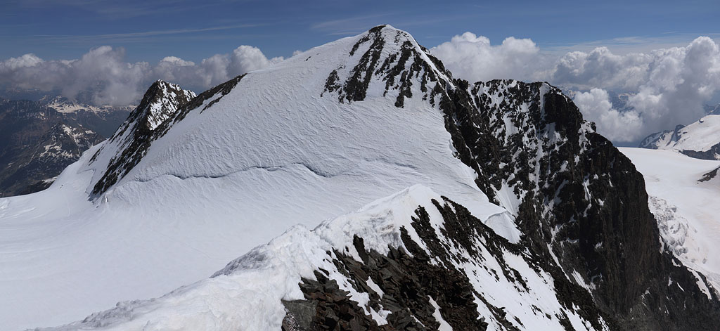
view back to Piz Palü |
Schermer Spitze (3117m) and Kirchenkogel (3115m)
Austria-Tirol, Ötztaler Alps, 26.7.13
Day tour from Hochgurgl, easy climb but brittle rock (grade I-II), crossing of the whole ridge.
morning view to Nederkogel |
Schermer Spitze summit |
view to Hochfirst |
approaching Kirchenkogel |
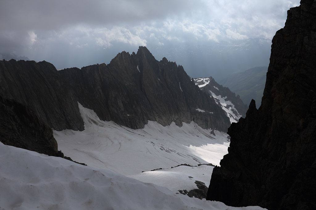
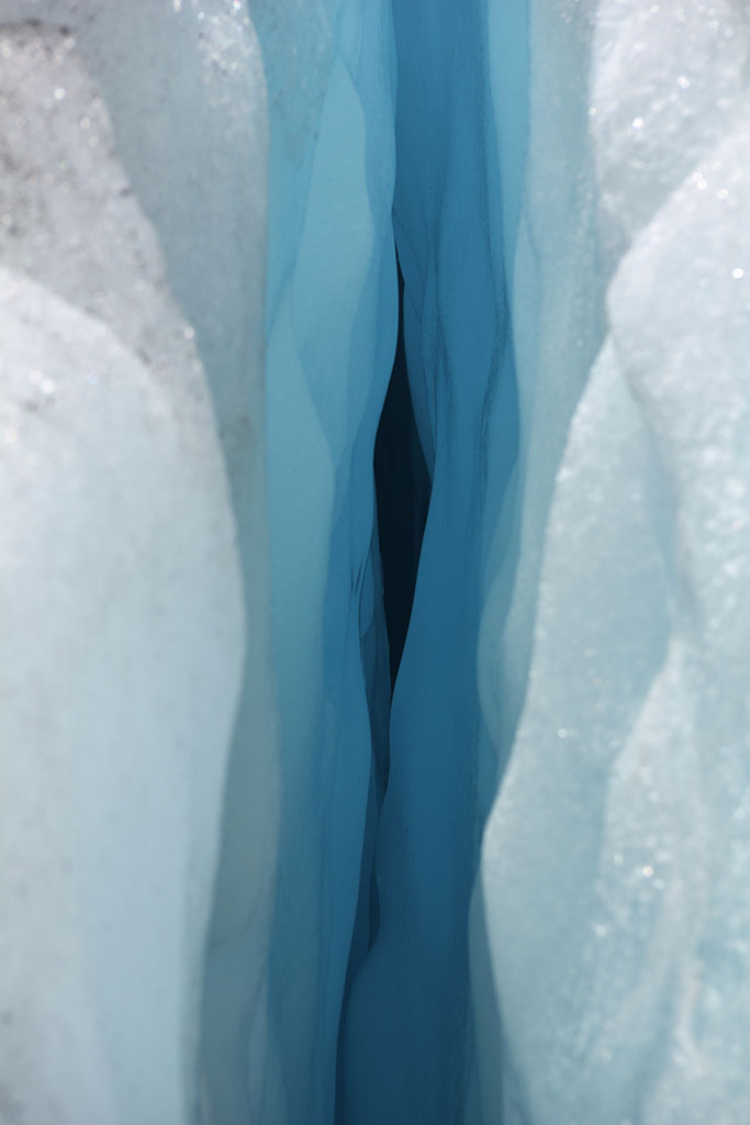
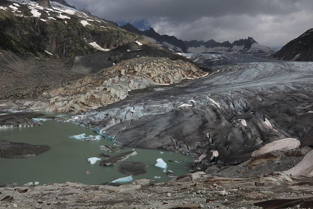
Galenstock (3586m)
Switzerland, Urner Alps, 27.7.-28.7.13
1,5 day tour from Furkapass, useless night ascent due to bad weather, subrise clouded out,
easy climb, mostly ice and snow, but time-consuming crevassed Rhoneglacier and partly dense fog.
waiting at the summit for 2 hours without sight |
improving weather while descending |
Rhone Glacier crevasse |
view back to Rhone Glacier |
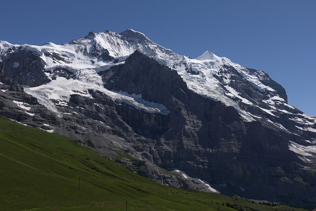
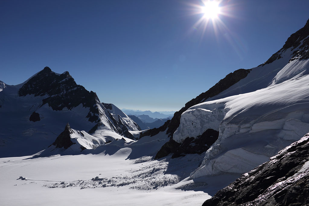
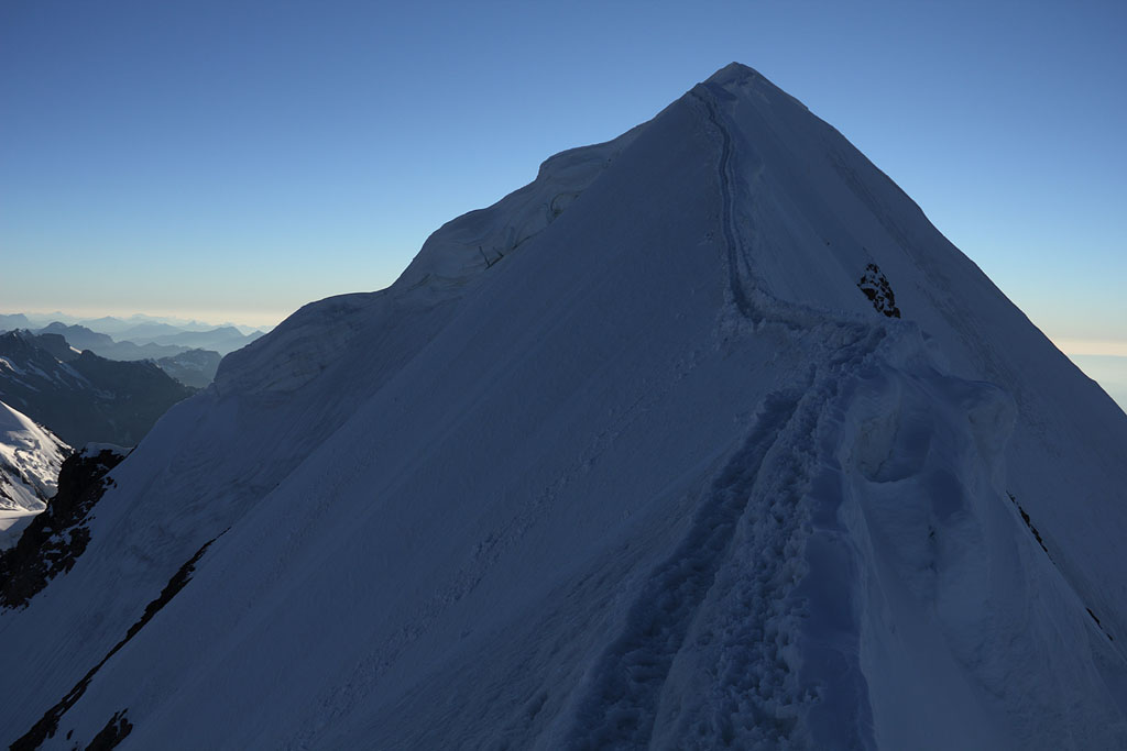
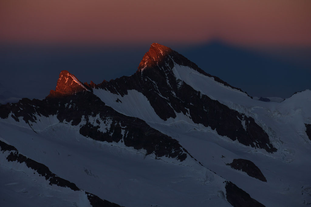
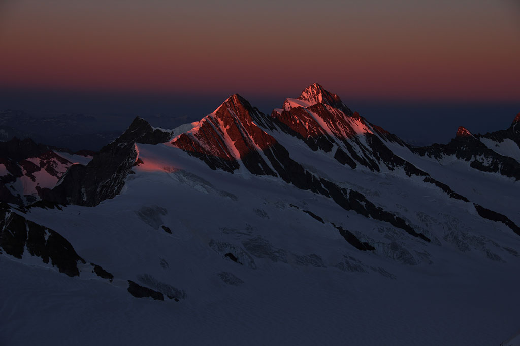
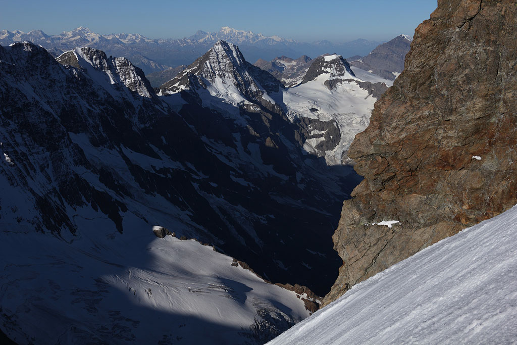
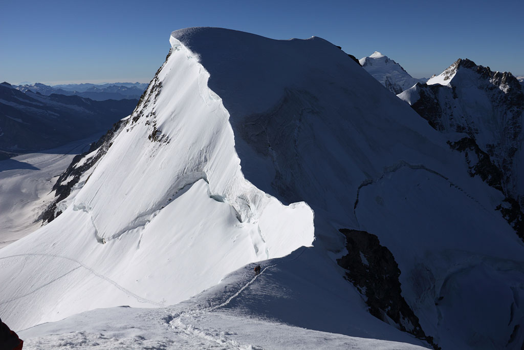
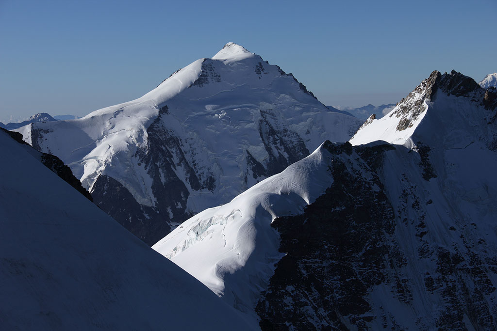
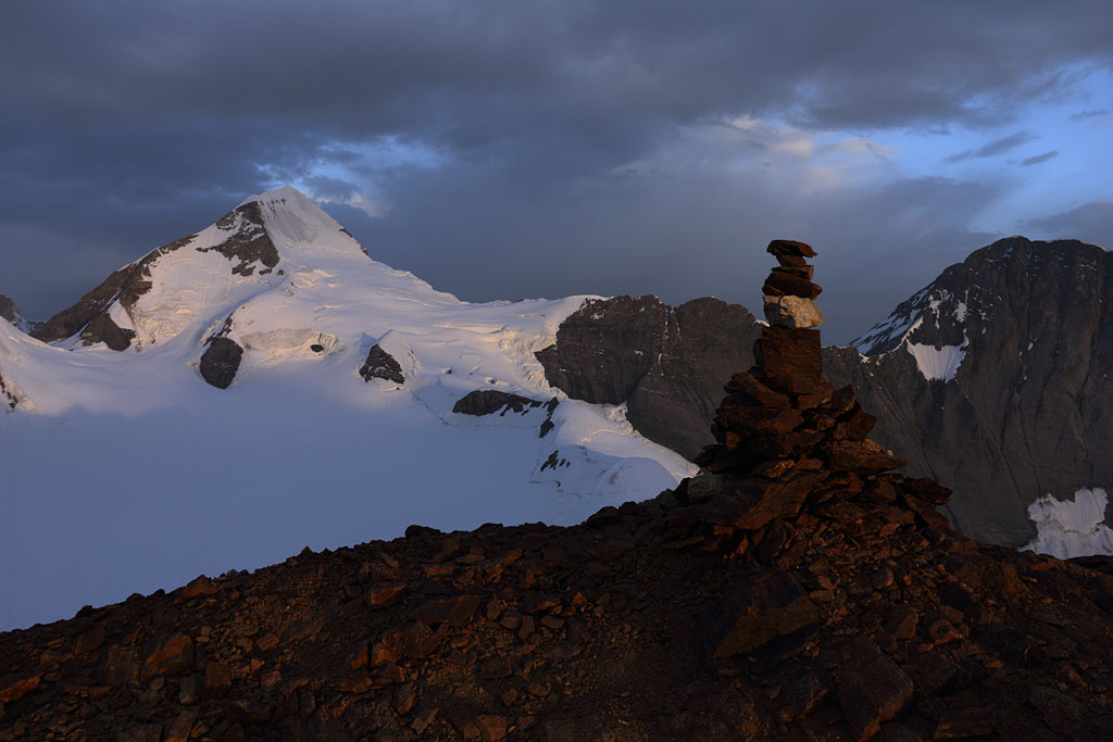
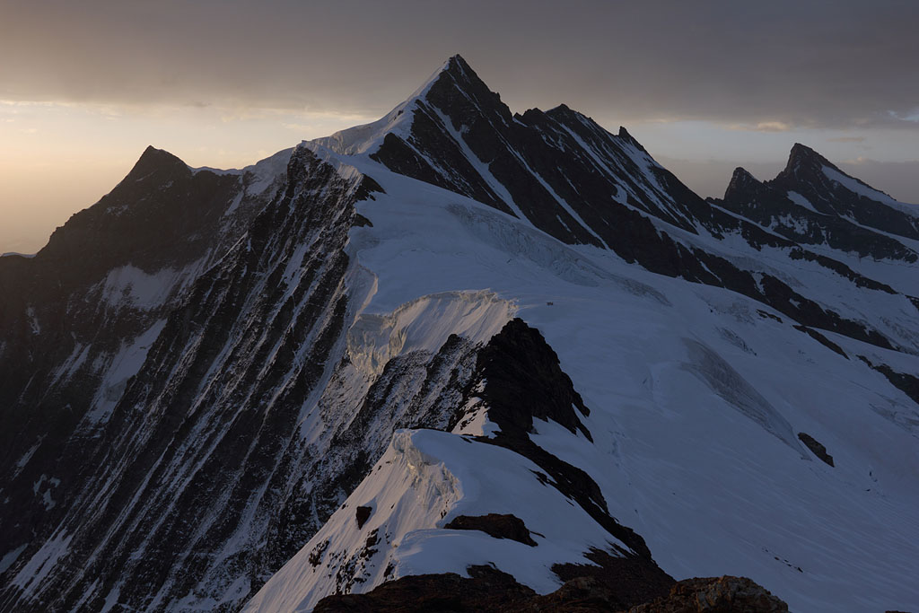
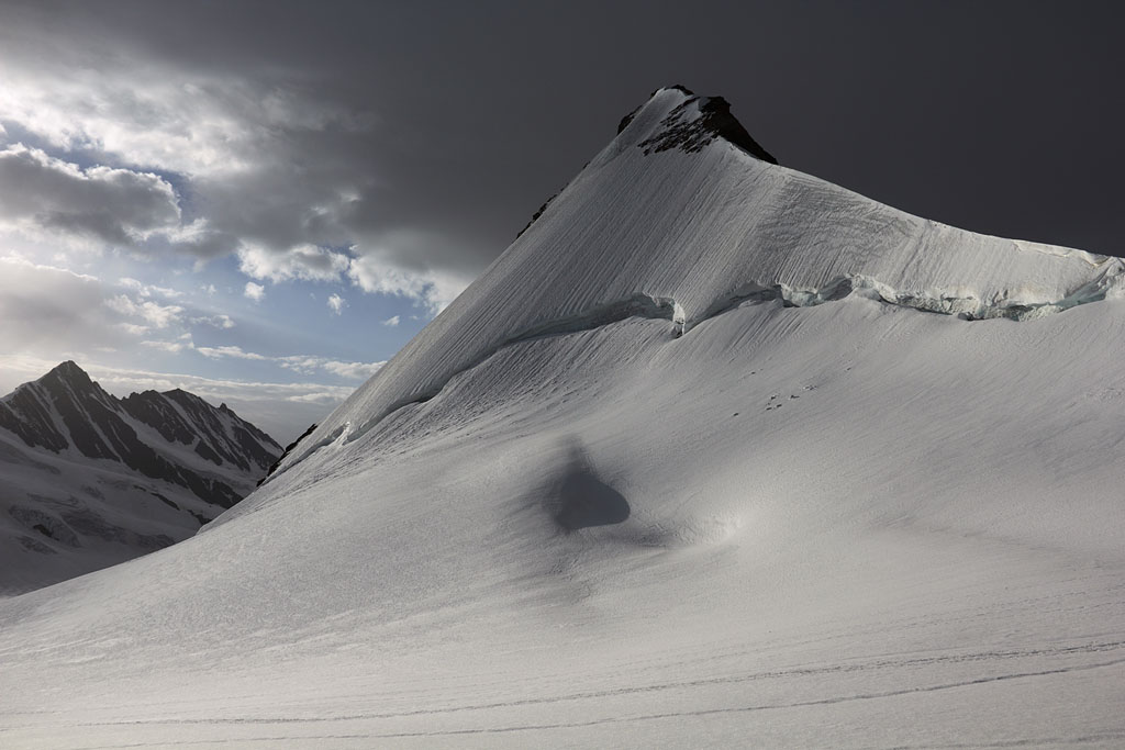
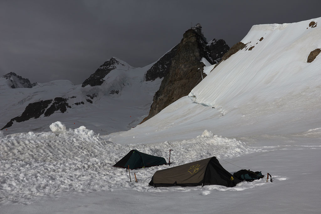
Mönch (4107m) - Jungfrau (4158m) - Walcherhorn (3692m)
Switzerland-Berner Alps, 1.8.-3.8.13
3 day tour from Jungfraujoch
1.th day: Mönch evening ascent, easy, somehow exposed climb (partly grade -II), tent night on Aletschglacier near Sphinx
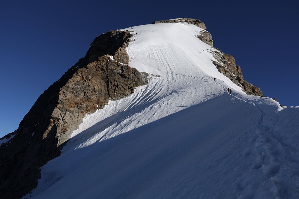
2.th day: Jungfrau morning ascent, easy, partly exposed and steep climb (grade I), again tent night at the same place
3.th day: Walcherhorn night ascent (resigning Fiescherhorn due to partly bad weather), easy climb
view to Jungfrau from kl. Scheidegg |
view to Jungfrau from Mönch S ridge |
on the way to Mönch summit |
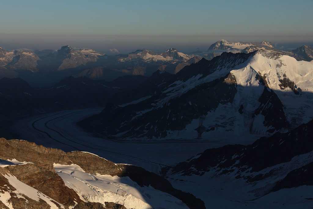
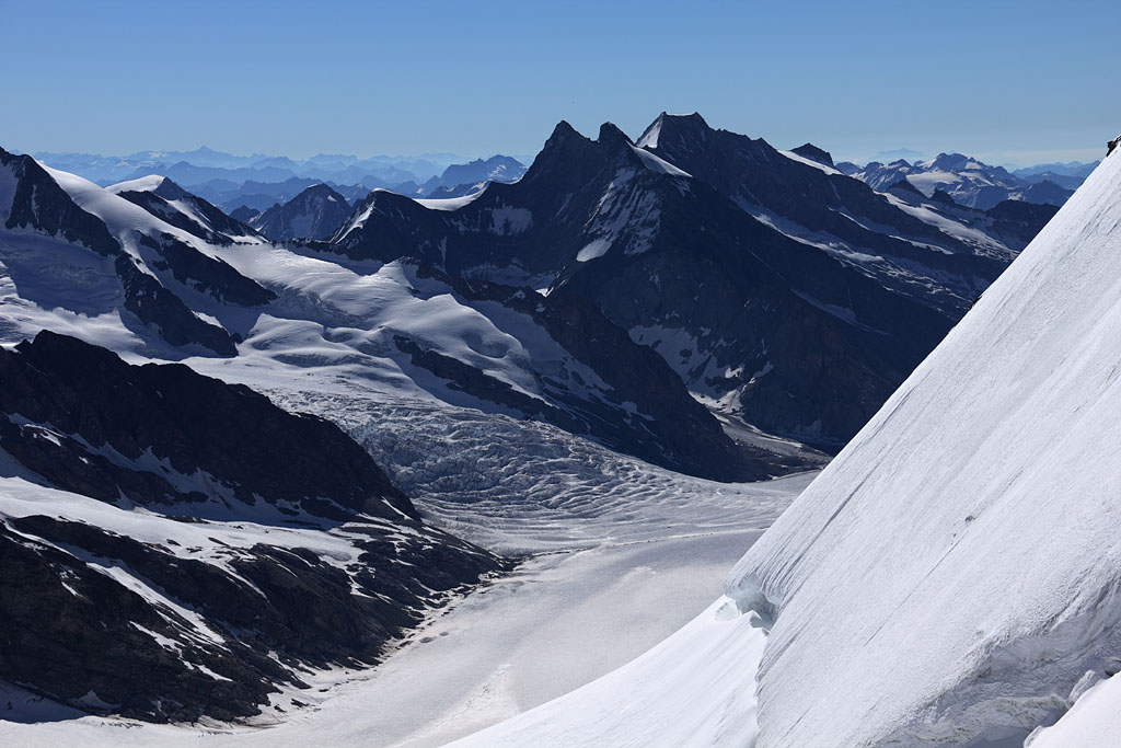
view down to Aletschglacier |
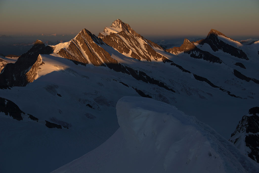
panoramic view from Mönch summit, from left to right: Eiger, Wetterhorn, Schreckhorn, Fiescherhorn, Finsteraarhorn, Grünhorn, Aletschhorn, Jungfrau |
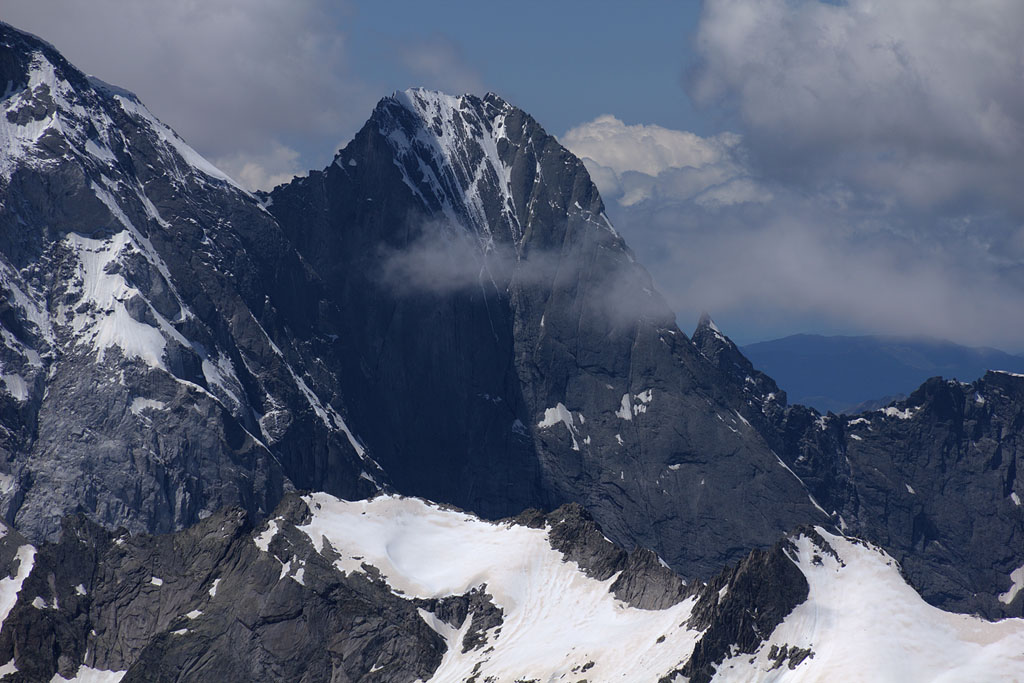
Finsteraarhorn behind |
Eiger (left) and Wetterhorn |
Jungfrau and Sphinx |
Wetterhorn |
Schreckhorn and Lauteraarhorn |
Aletschhorn |
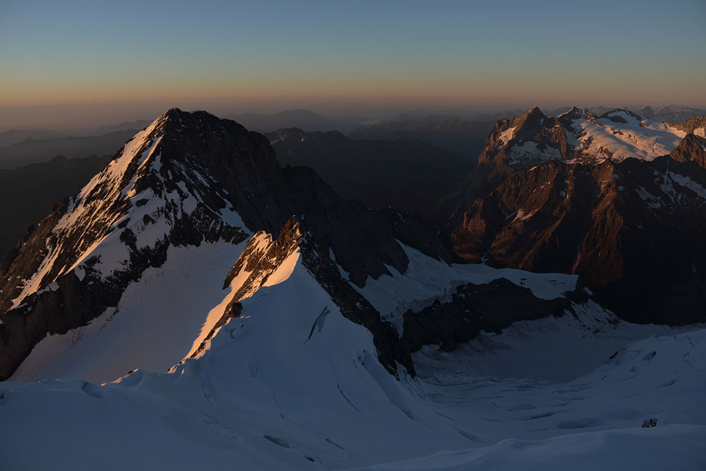
earths shadow rising |
Grünhorn with Mönch shadow to the right |
Fiescherhörner and Finsteraarhorn |
Jungfrau summit above |
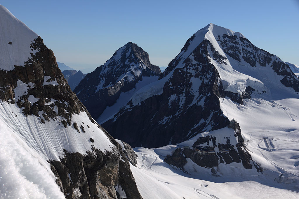
view to Eiger (left) and Mönch (right) |
view to W |
Rottalhorn below |
view to Aletschhorn |
panoramic view from Jungfrau summit, from left to right: Eiger, Mönch, Schreckhorn, Fiescherhorn, Finsteraarhorn, Grünhorn, Aletschglacier, Aletschhorn |
view to Grünhorn |
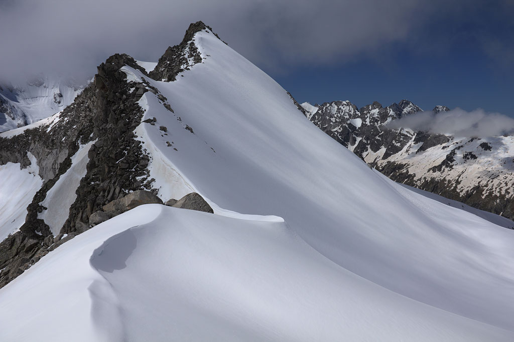
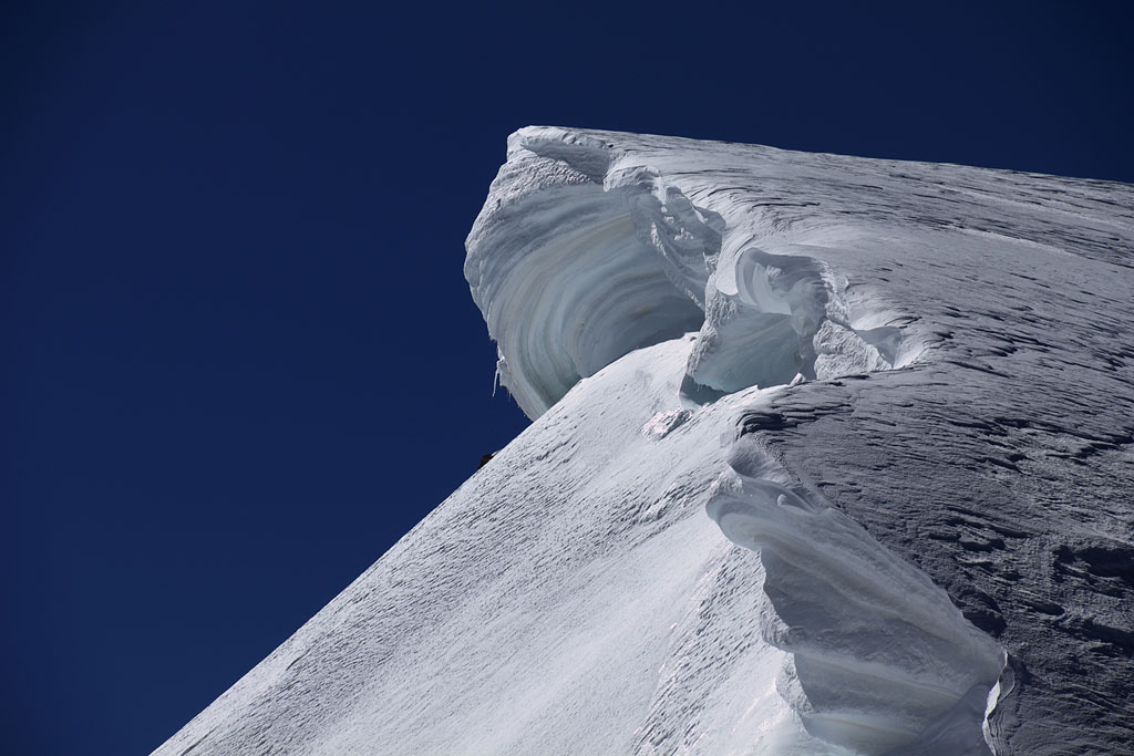
summit cornice of Rottalhorn |
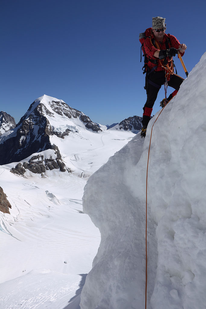
Thorsten following direct descent route |
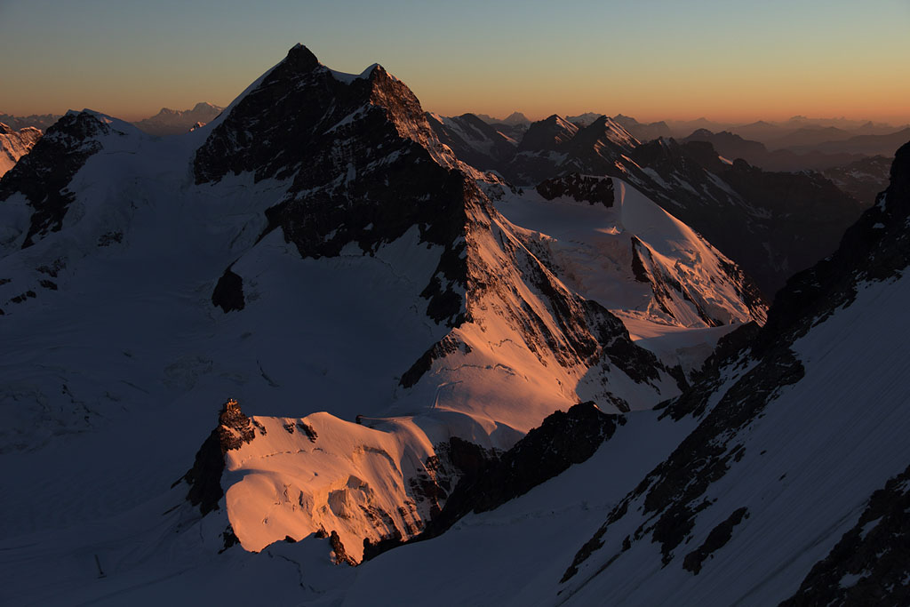
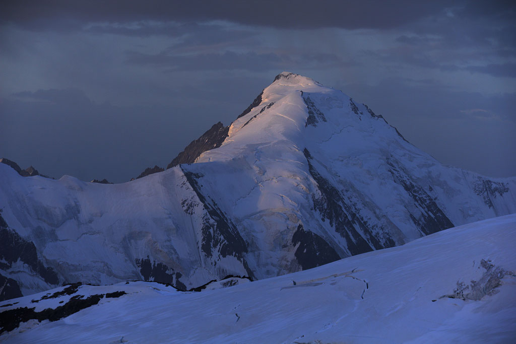
morning view to Aletschhorn |
Walcherhorn summit with Mönch behind |
Fiescherhorn to the S |
passing Trugberg |
our campsite below Sphinx |
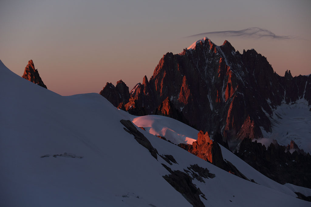
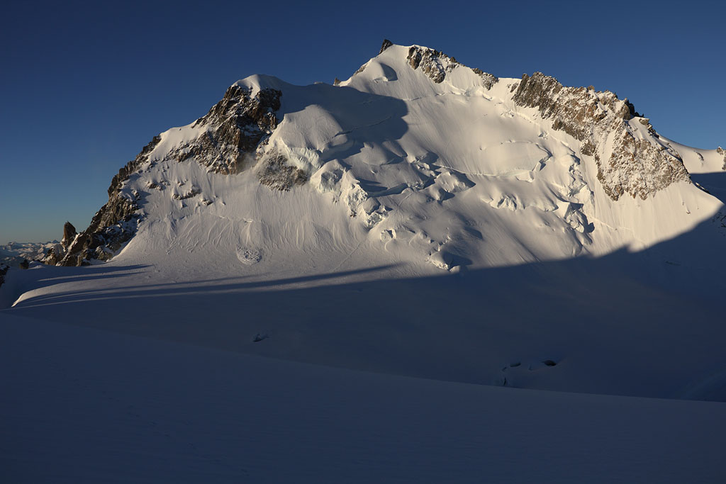
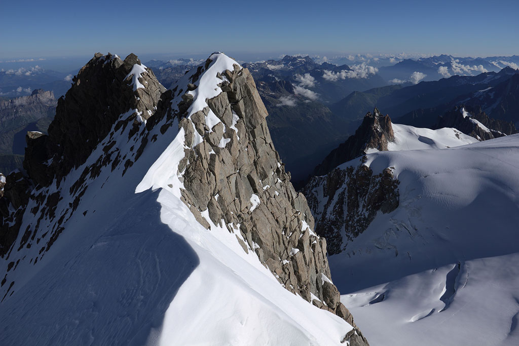
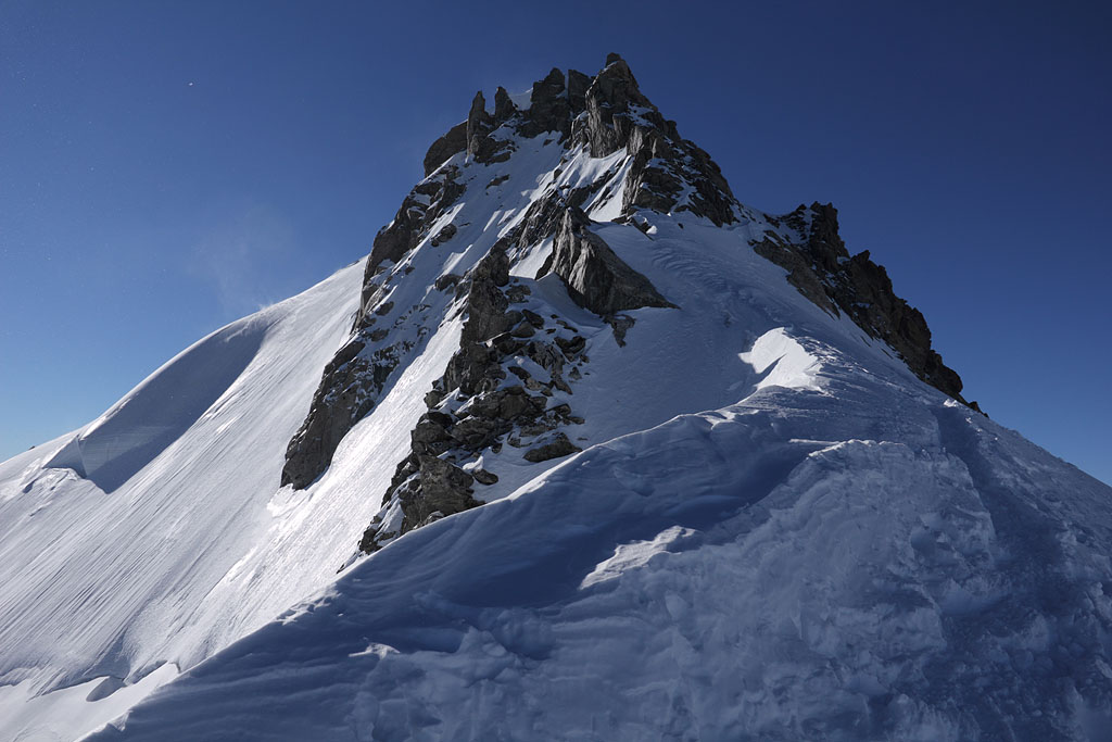
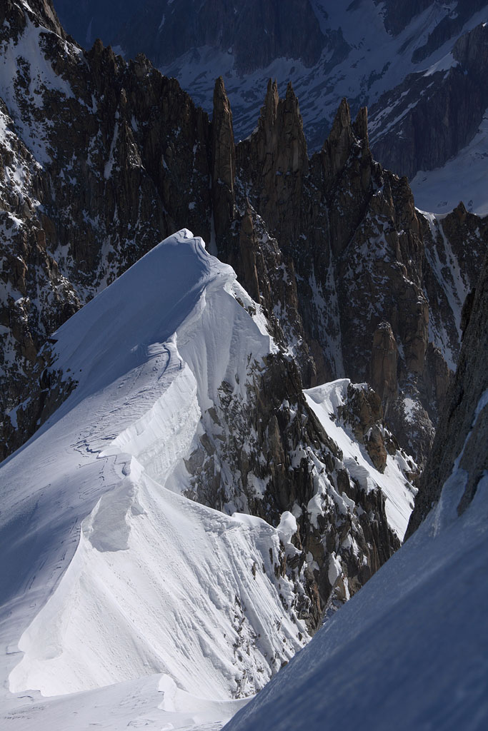
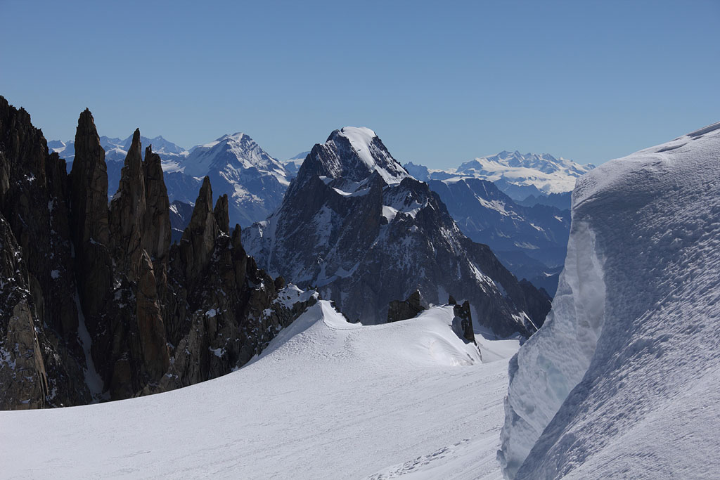
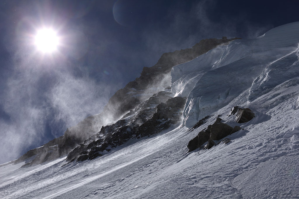
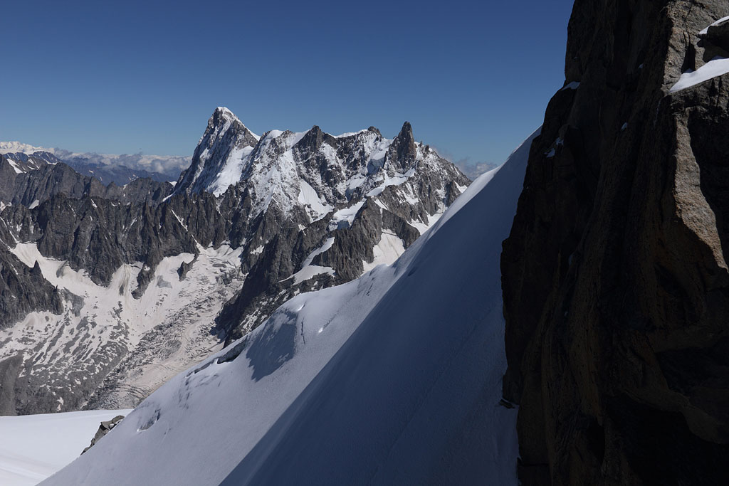
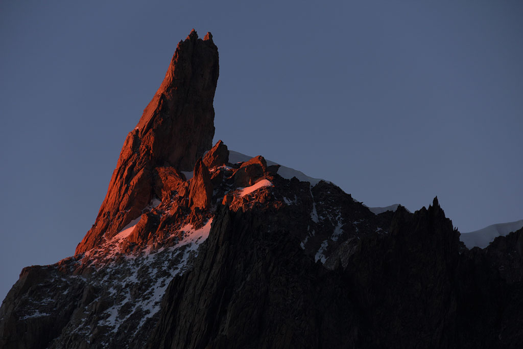
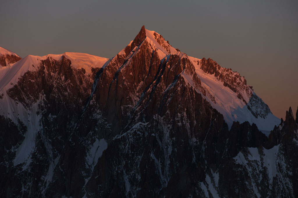
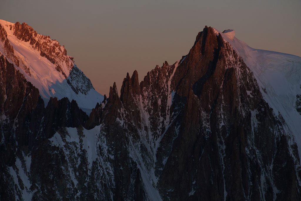
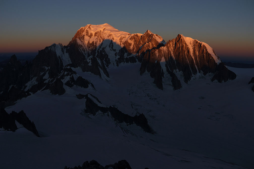
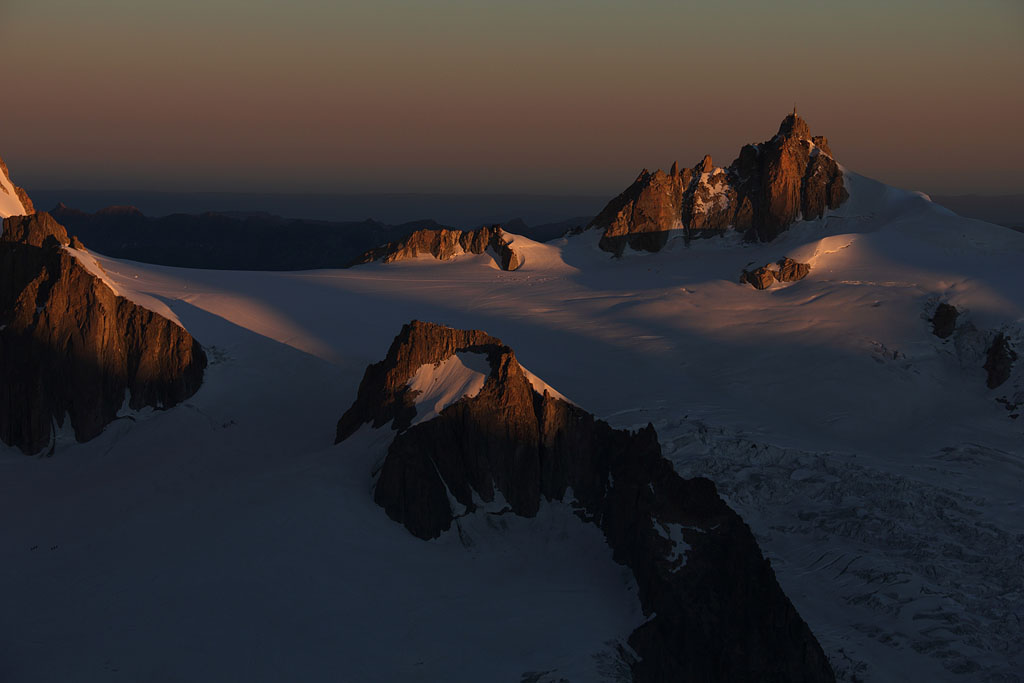
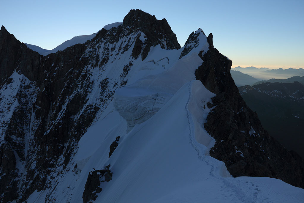
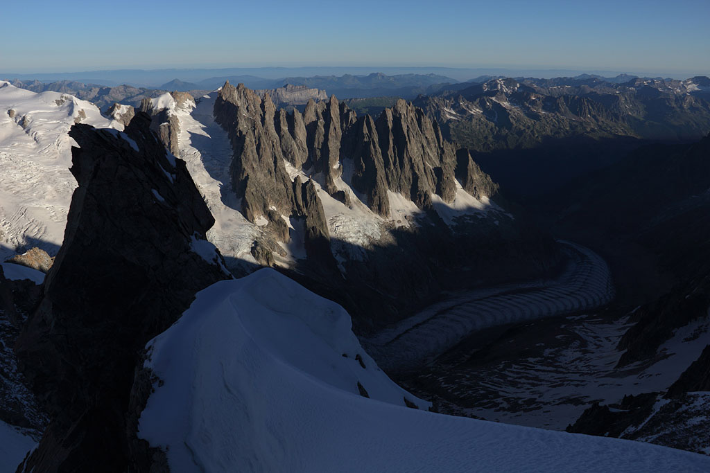
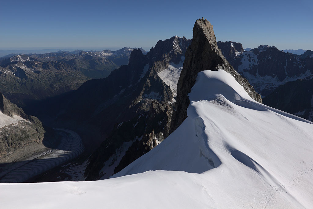
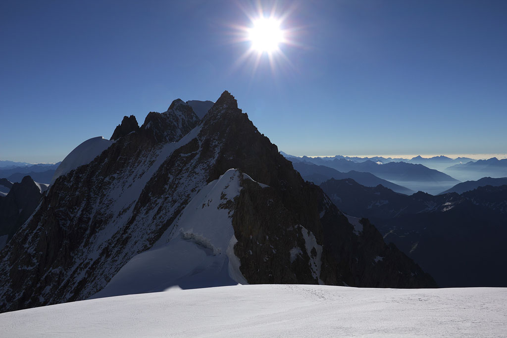
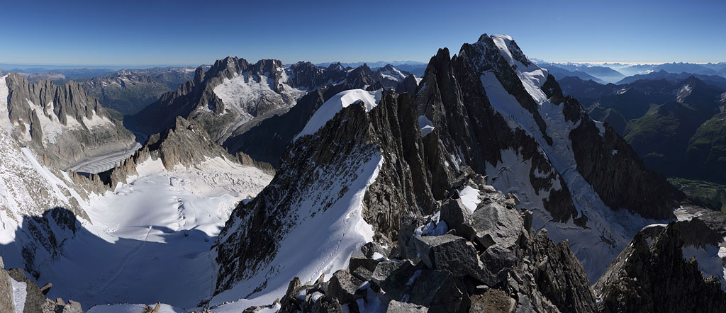
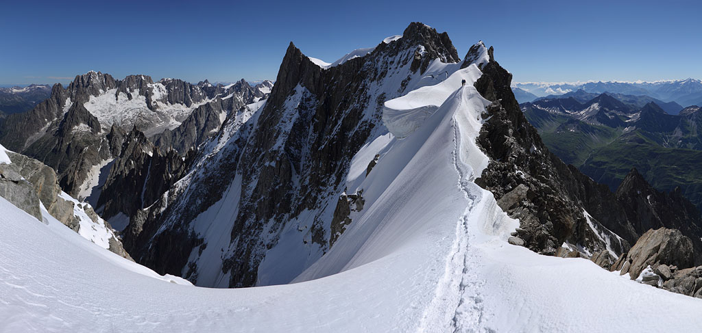
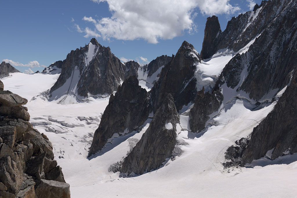
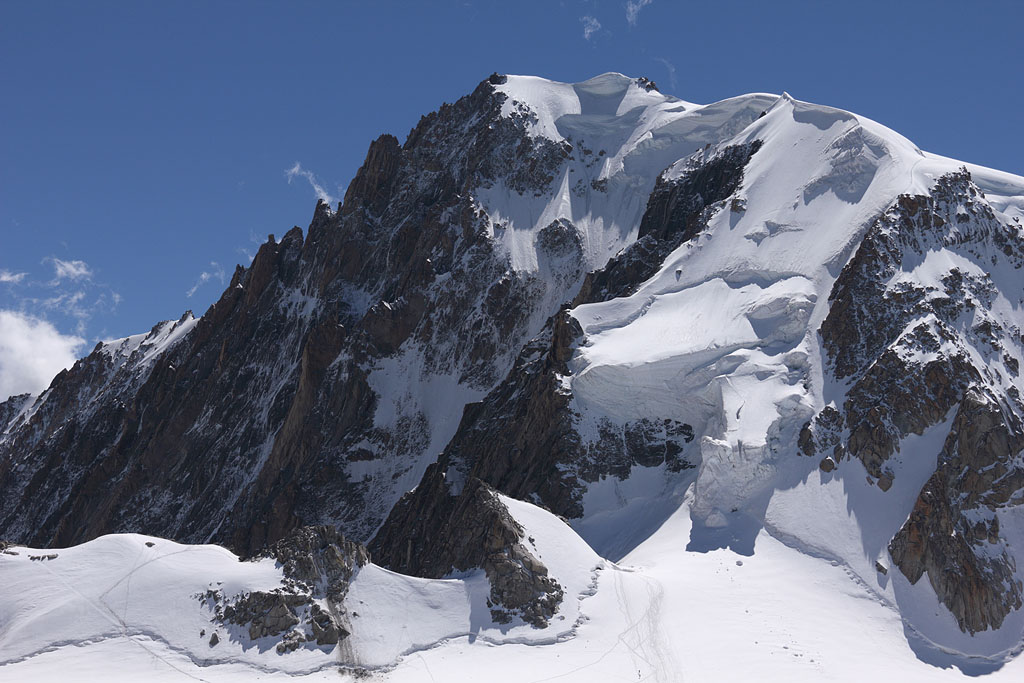
Mt. Blanc du Tacul (4248m) - Mont Maudit (4465m)
- Aiguille de Rochefort (4001m) - Dôme de Rochefort (4015m)
France - Mont Blanc range, 10.8.-12.8.13
3 day tour, via Aiguille du Midi.
1.th day: drive to Chamonix, cable car to A.d.Midi, Col du Midi tent night.
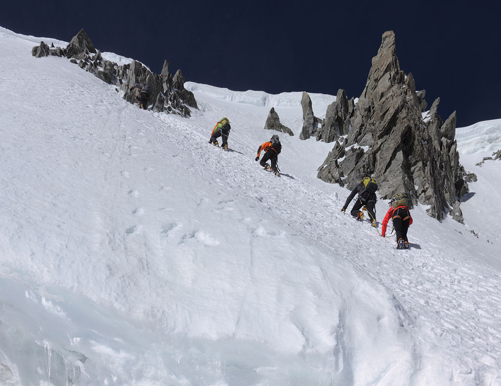
2.th day: NW face night ascent to Mt. Blanc du Tacul, easy climb with one vertical crevasse step and exposed, icy summit rocks,
afterward Mont Maudit, very strenuous climb due to strong wind and snowdrift, one part 50° (fixed rope buried under snow)
and back to A.d.Midi, transfer to Helbronner, Col du Geant tent night.
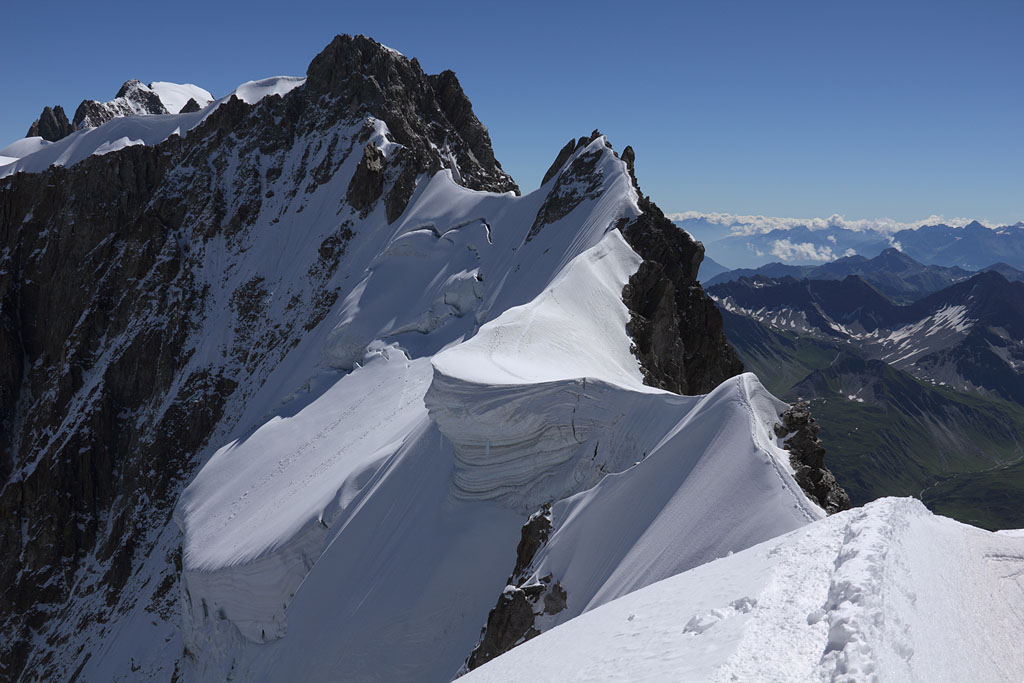
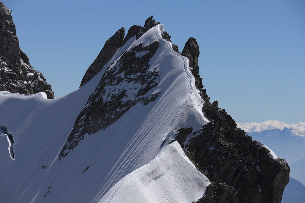
3.th day: famous Rochefort ridge to Aiguille de Rochefort and Dôme de Rochefort, mainly easy but exposed climb
(grade II, 2 steps more demanding), back to A.d.Midi and cable car down, driving home.
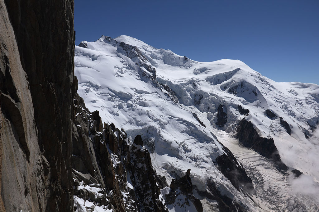
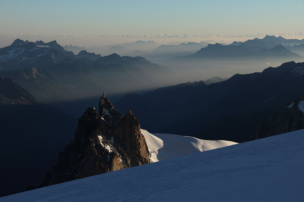
Aiguille du Midi view to Mt. Blanc |
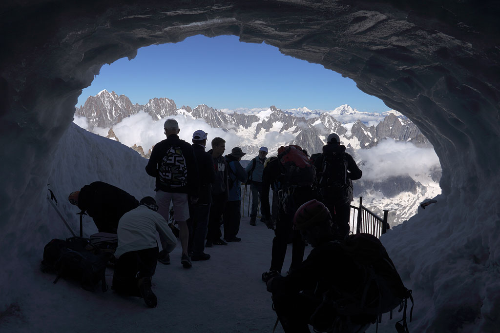
leaving Aiguille du Midi station |
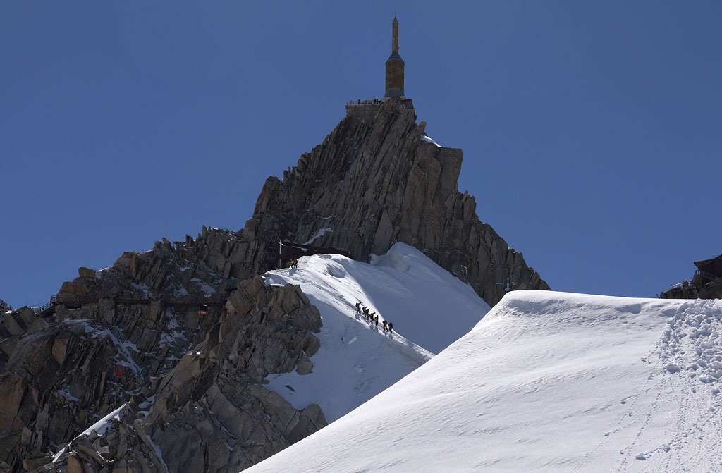
view back to Aiguille du Midi |
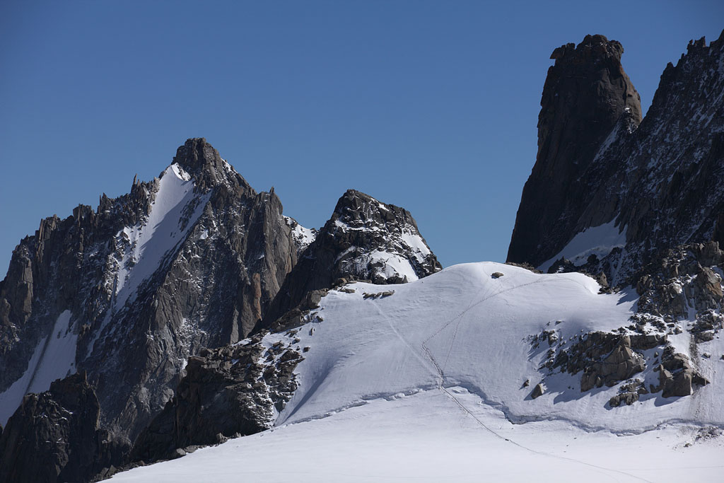
approaching Col du Midi |
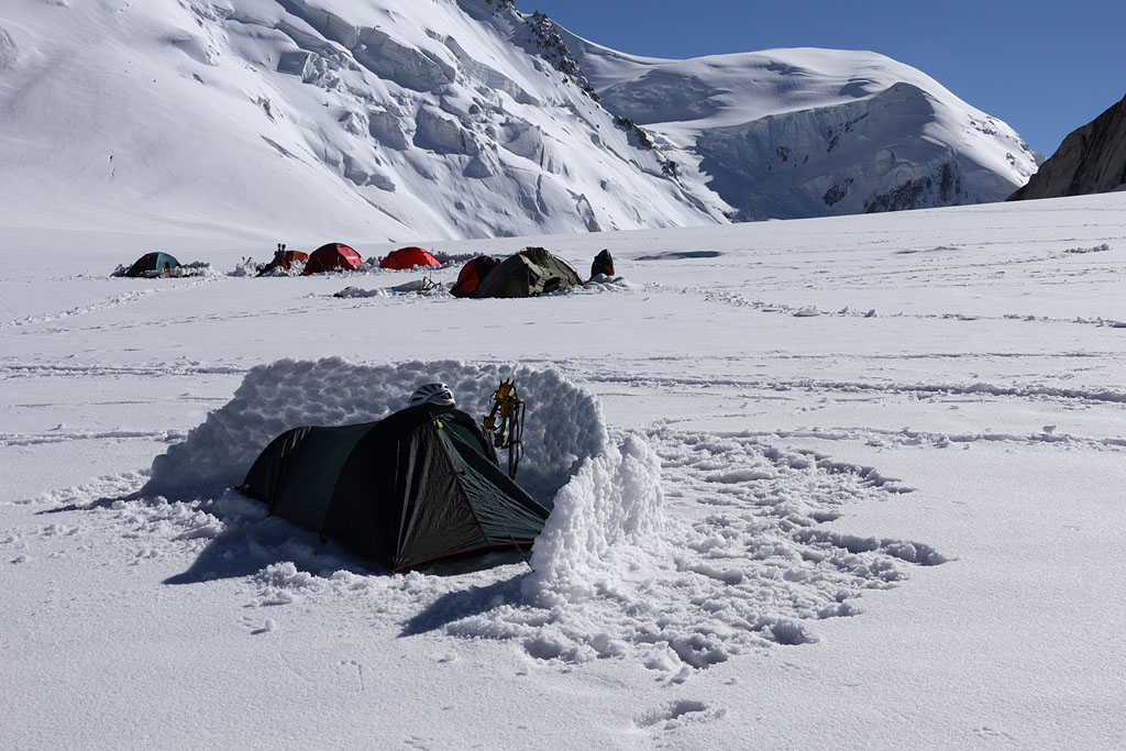
Col du Midi camp with M.B.d.Tacul NW face behind |
my tent |
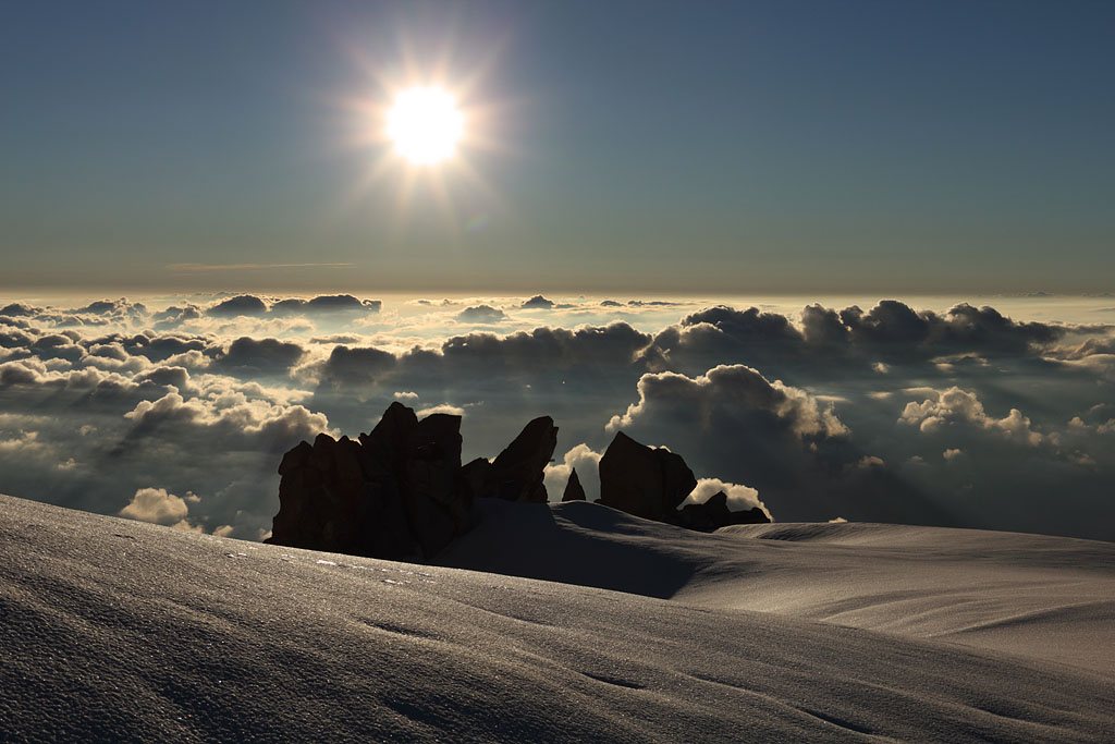
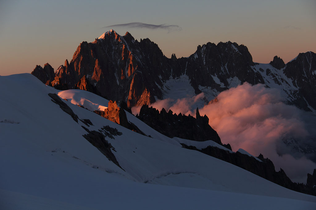
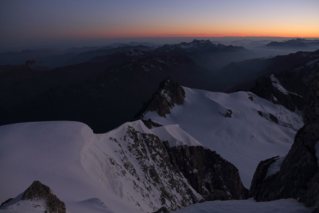
sunset view |
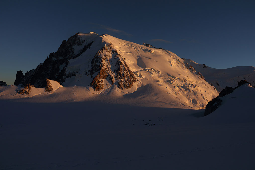
M.B.d.Tacul in evening light, camp to the lower right |
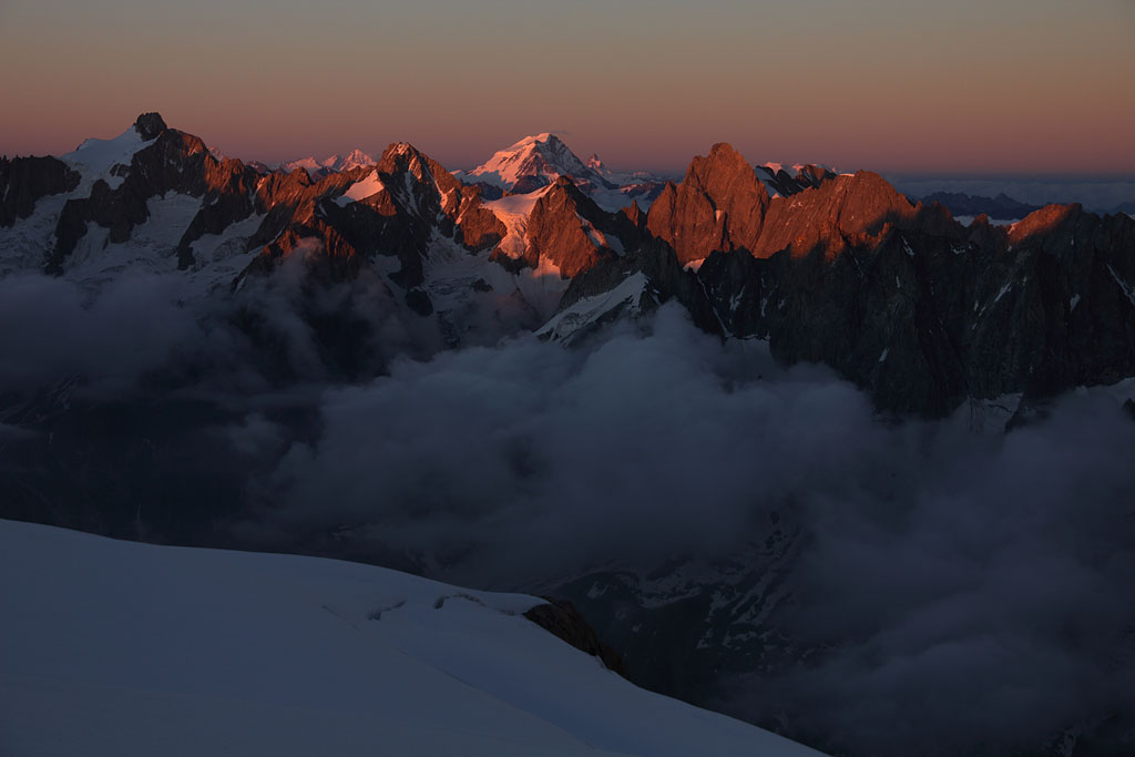
evening view to Aiguille Verte |
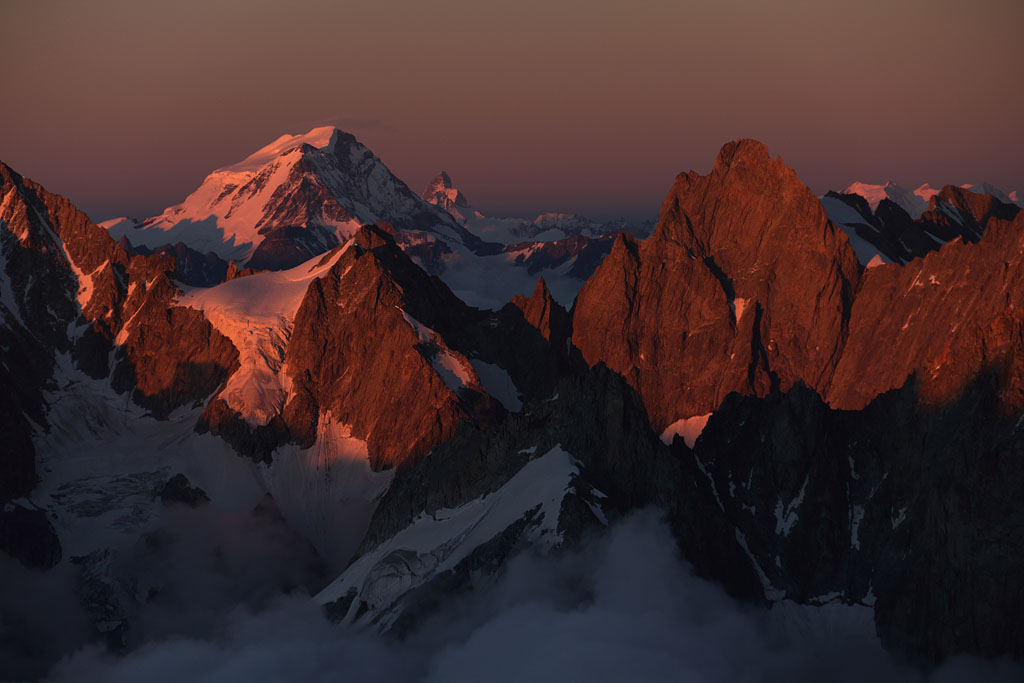
Gran Combin to the E |
Matterhorn in far distance |
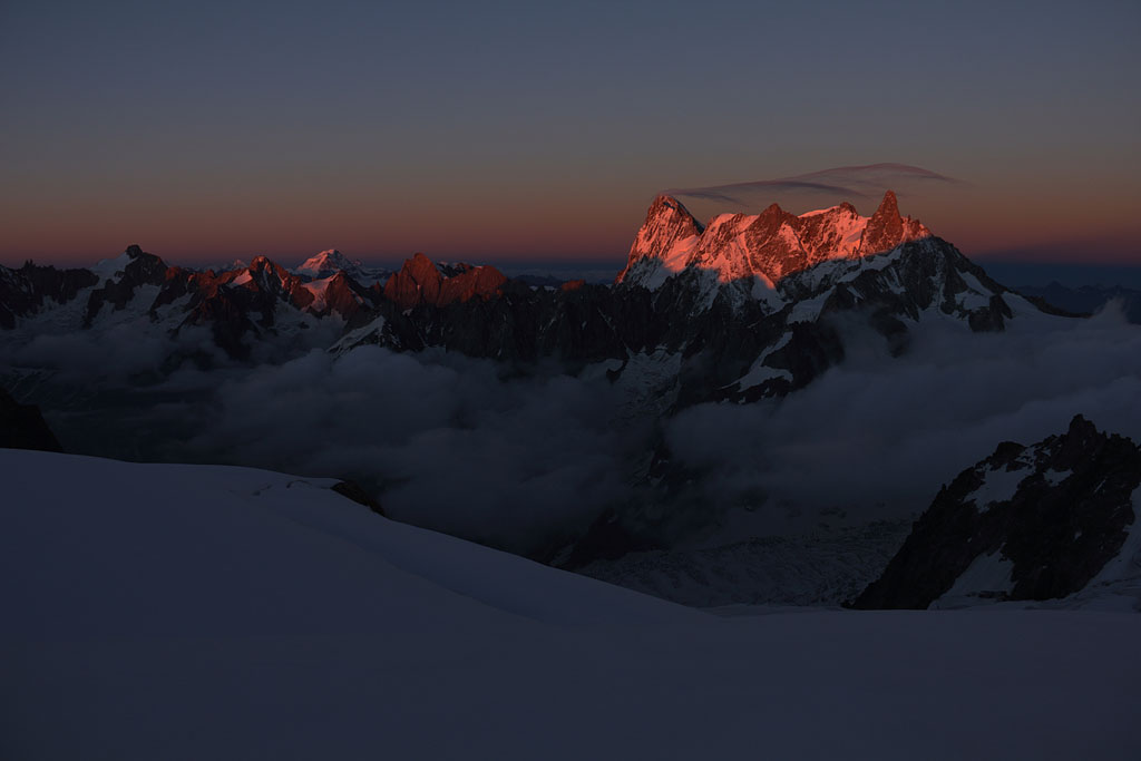
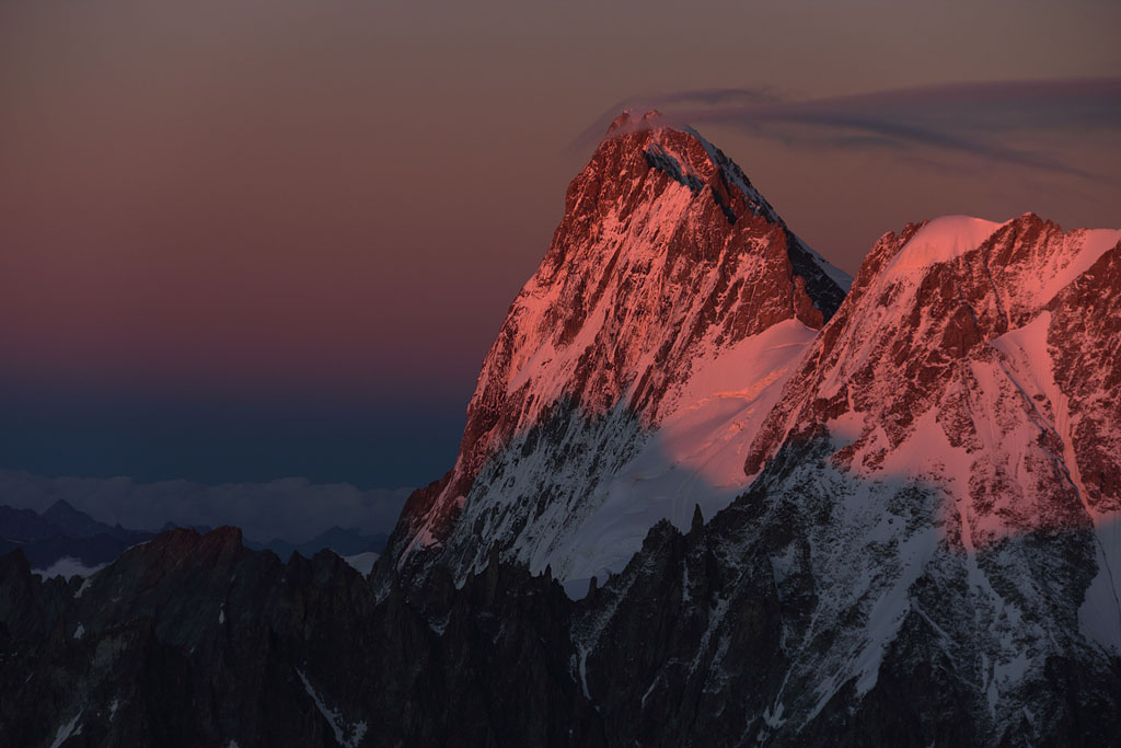
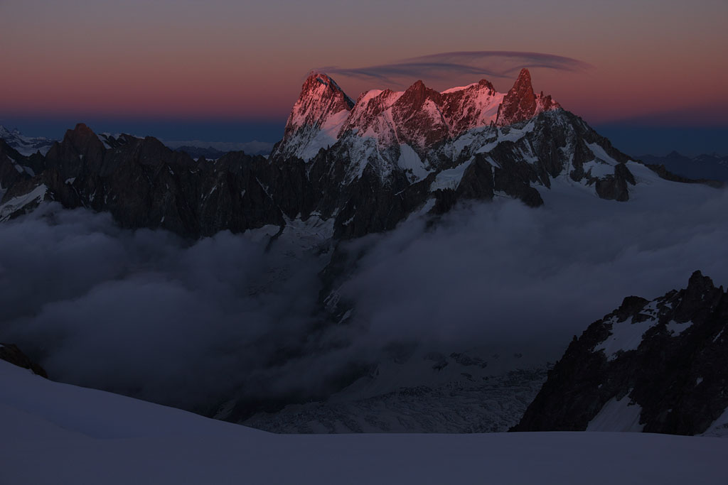
view to Grand Jourasses range |
|
|
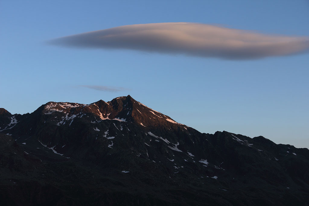
Grand Jourasses with summit cloud |
cloud shape signalizing strong wind |
dawn view back to A.du Midi |
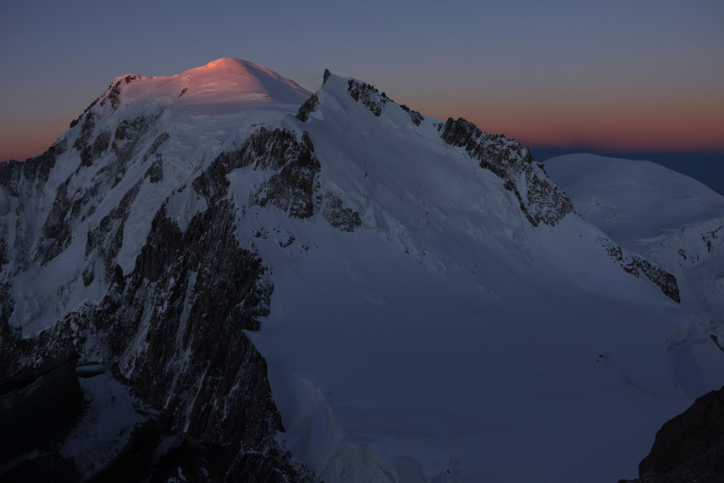
Mont Blanc gets the first sunlight |
sunrise at the summit of M.B.d. Tacul |
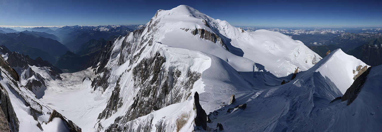
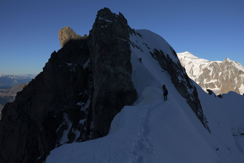
Mt. Blanc summit |
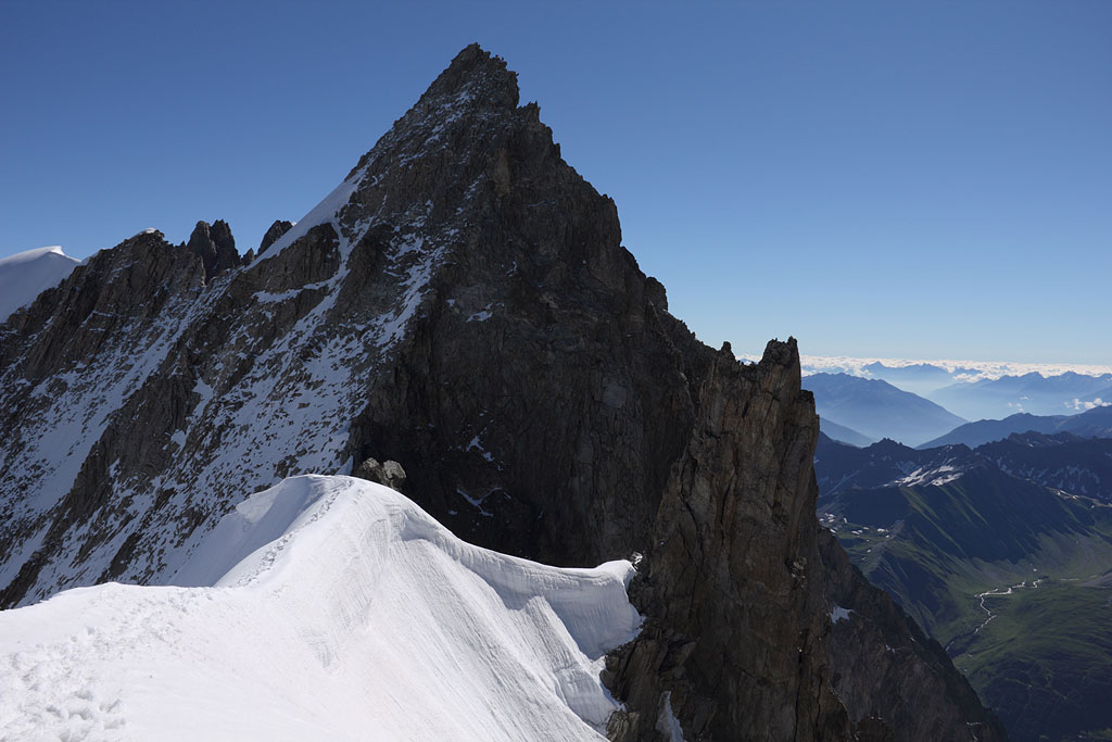
view to M. Maudit, my next destination |
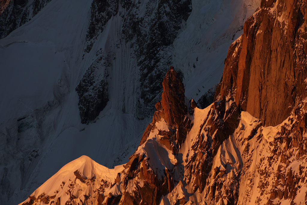
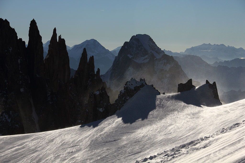
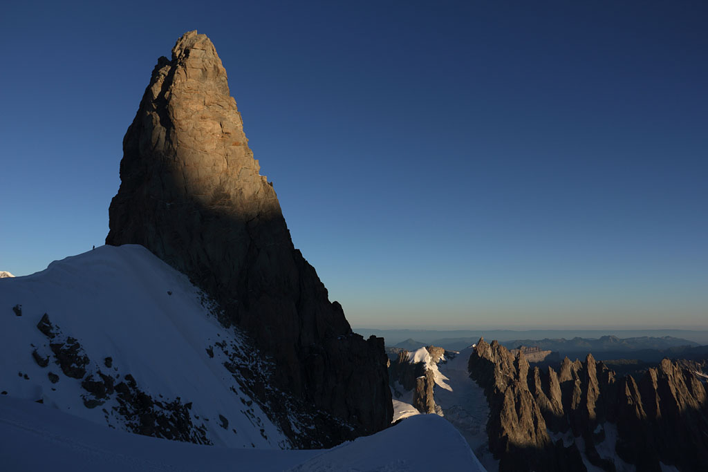
climbers on top of rock spire |
Aiguille Blanche de Peuterey |
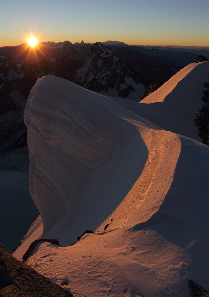
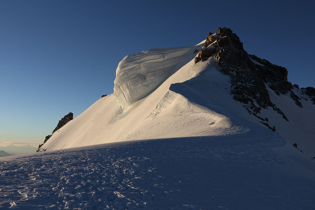
M.B.d.Tacul summit cornice |
view down toA. d. Midi |
summit of M.B.d. Tacul |
view down to A. d. Midi |
heading to Mont Maudit |
Devils ridge with Grand Jourasses behind |
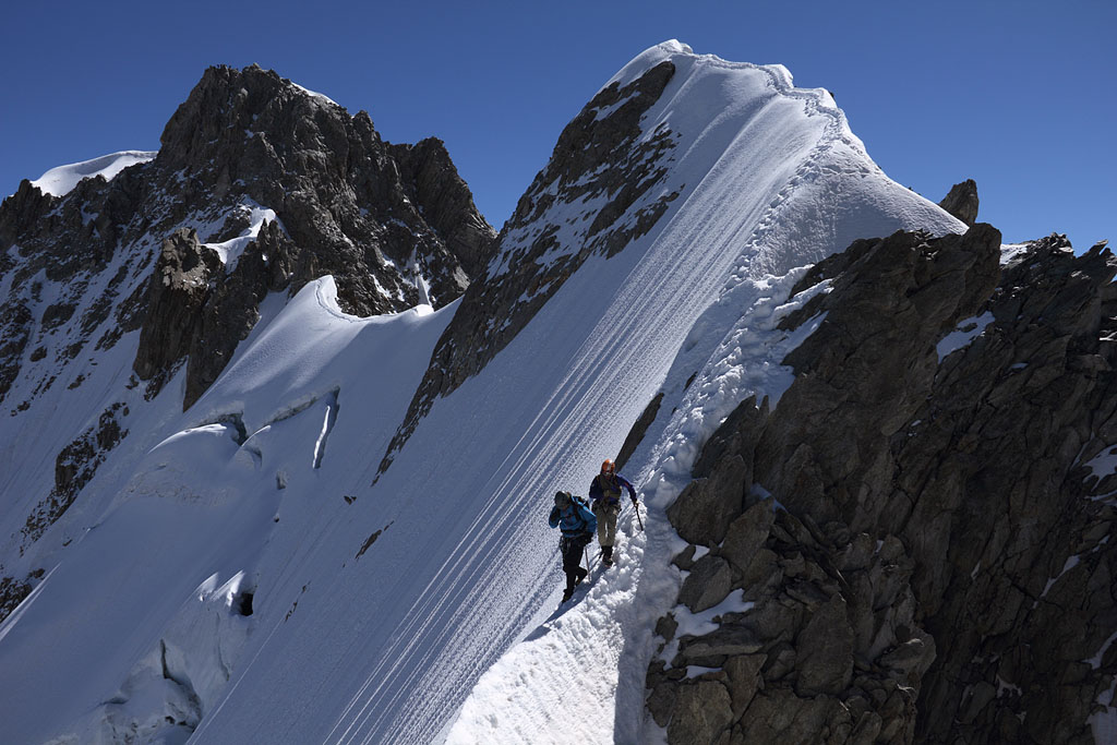
steep part to Col below M. Maudit |
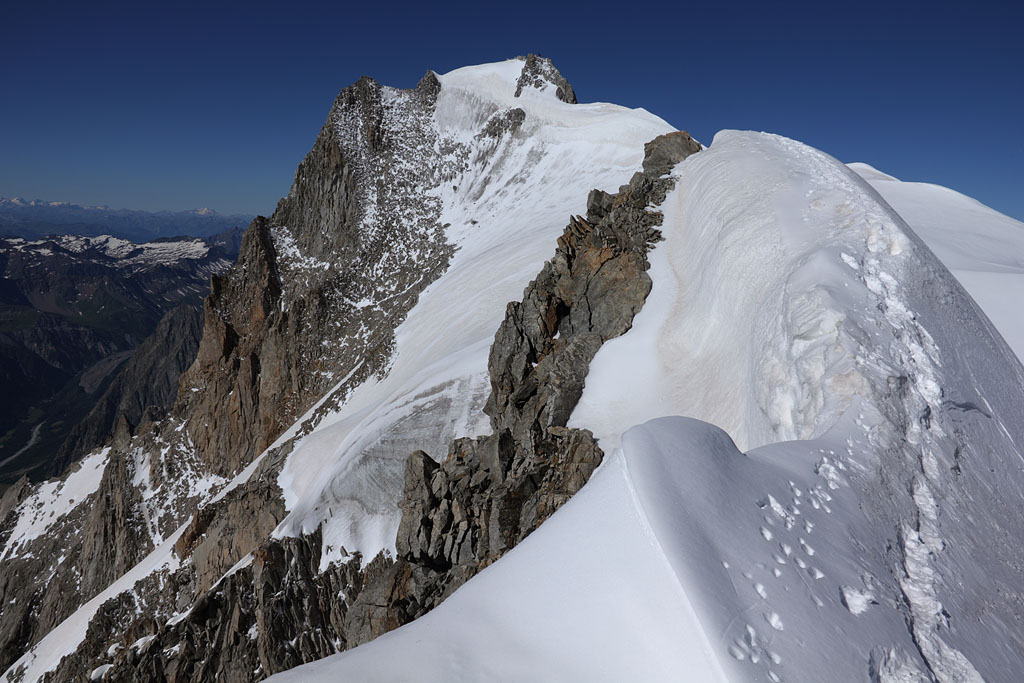
reaching ridge to M. Maudit |
final ridge to M. Maudit |
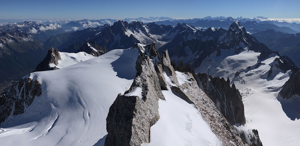
M. Maudit summit view panorama to E |
M. Maudit summit view panorama to W, Mont Blanc behind |
Devils ridge seen from M. Maudit descent |
Devils rigde on the way back |
stormy conditions |
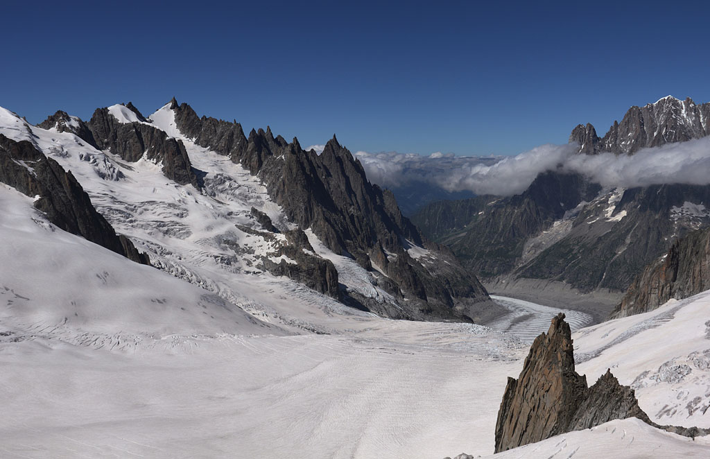
view from A.d.Midi to next destination |
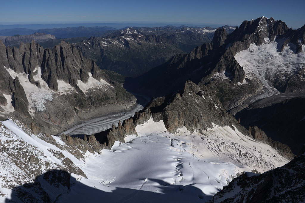
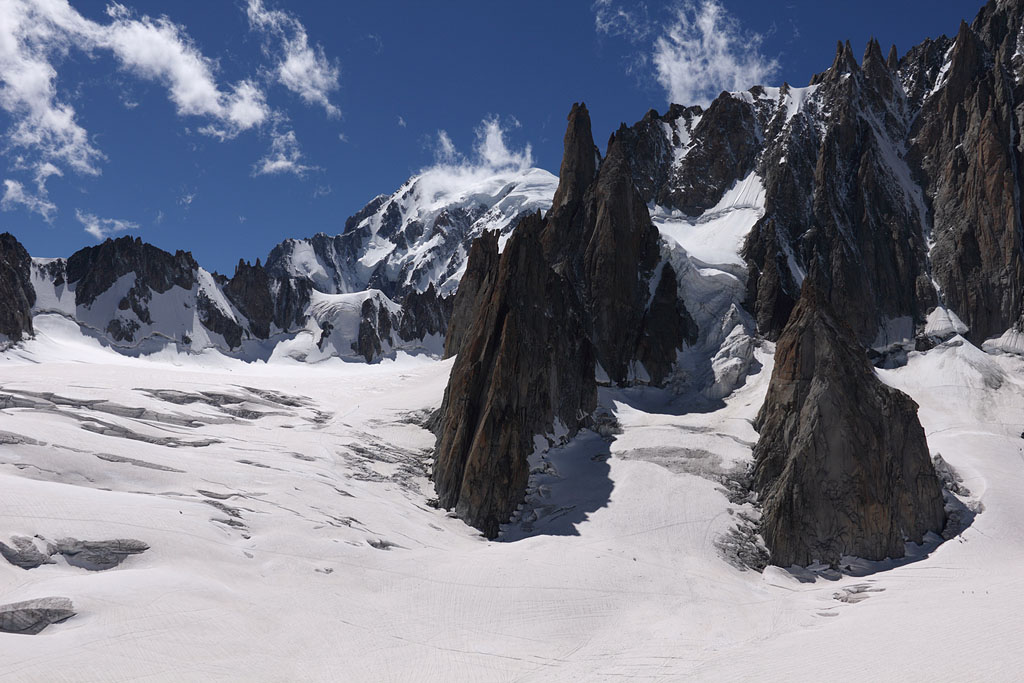
view to Mer de Glace glacier |
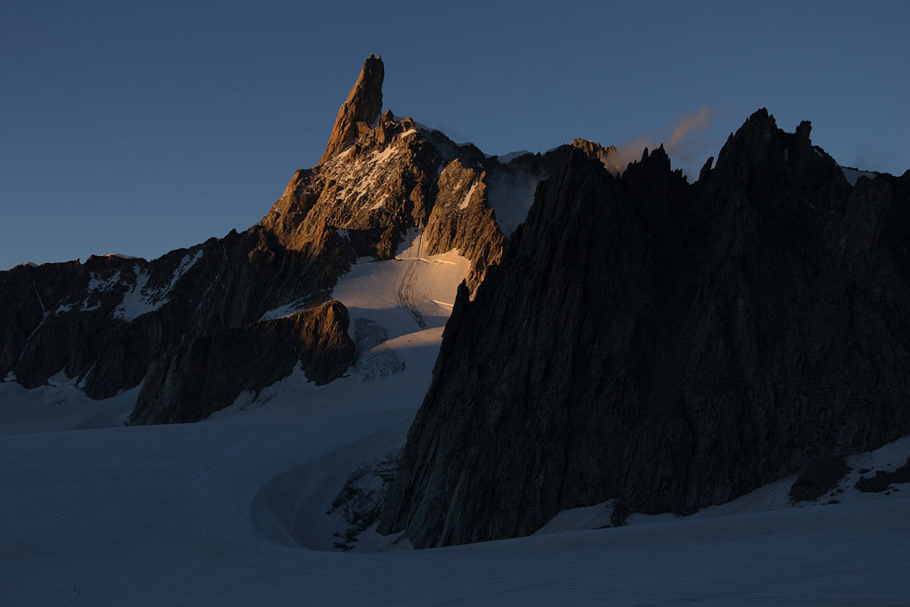
Dent du Geant view from my Col du Geant campsite |
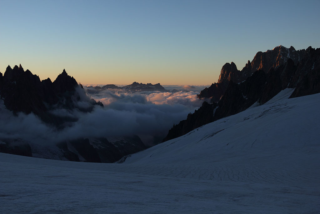
view from Col du Geant |
view from Col du Geant |
Dent du Geant view at sunset |
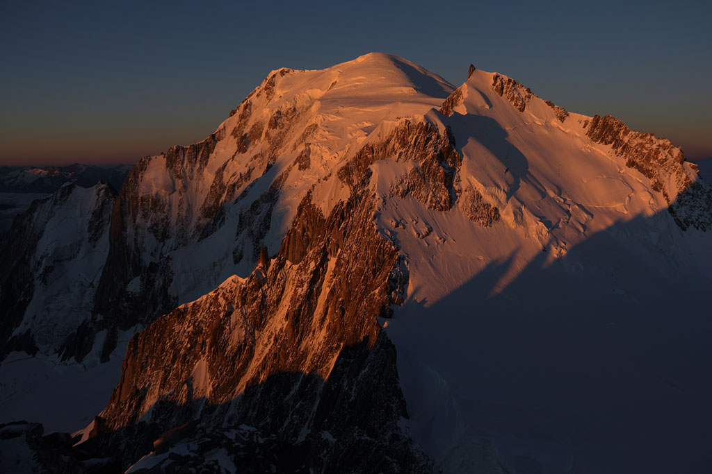
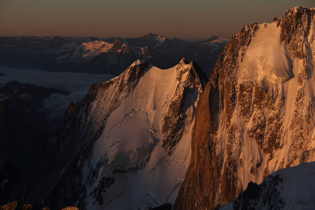
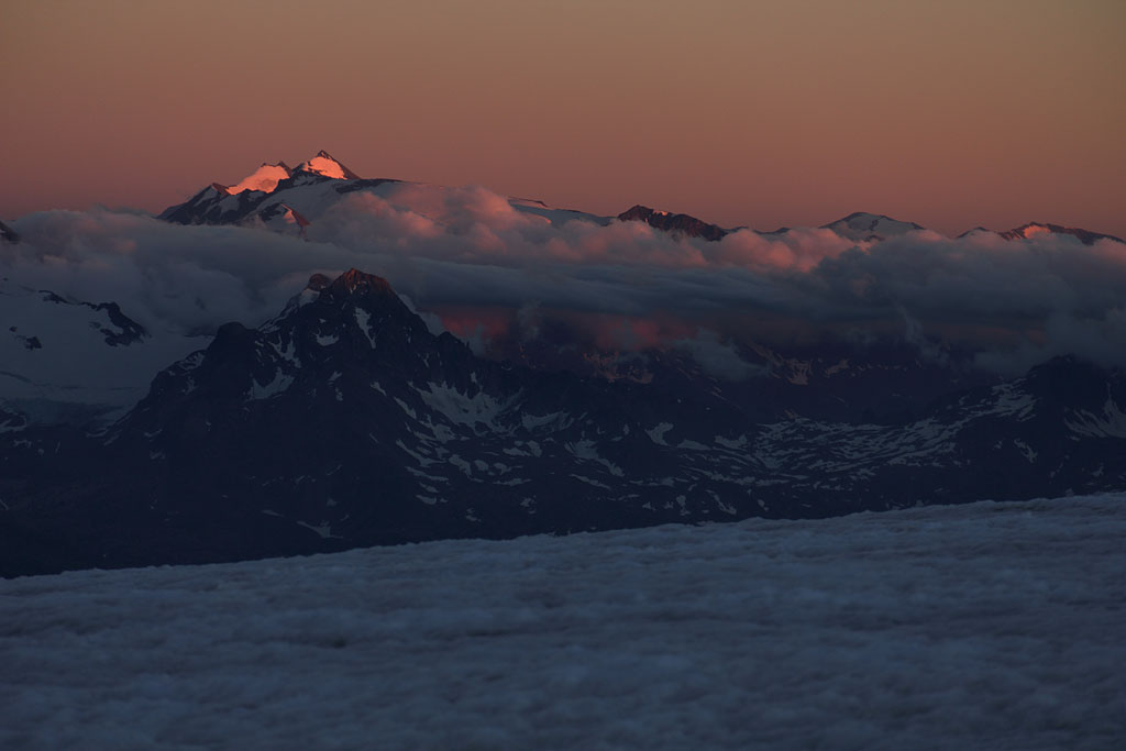
M. Maudit at sunrise |
M.B.d. Tacul at sunrise |
Mont Blanc at sunrise |
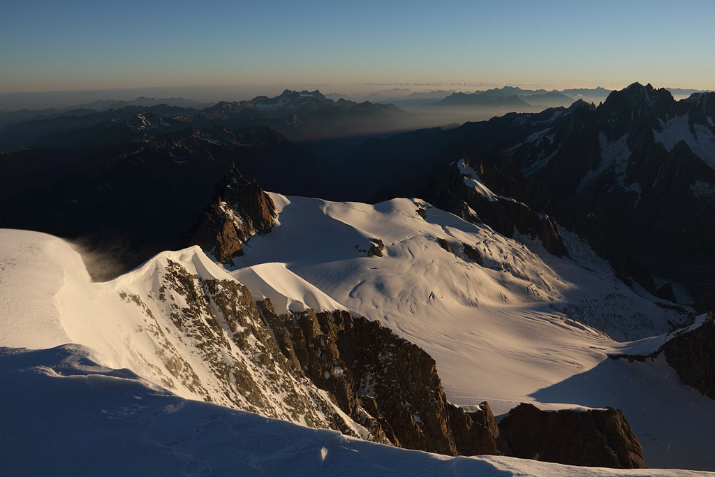
view to Col du Midi |
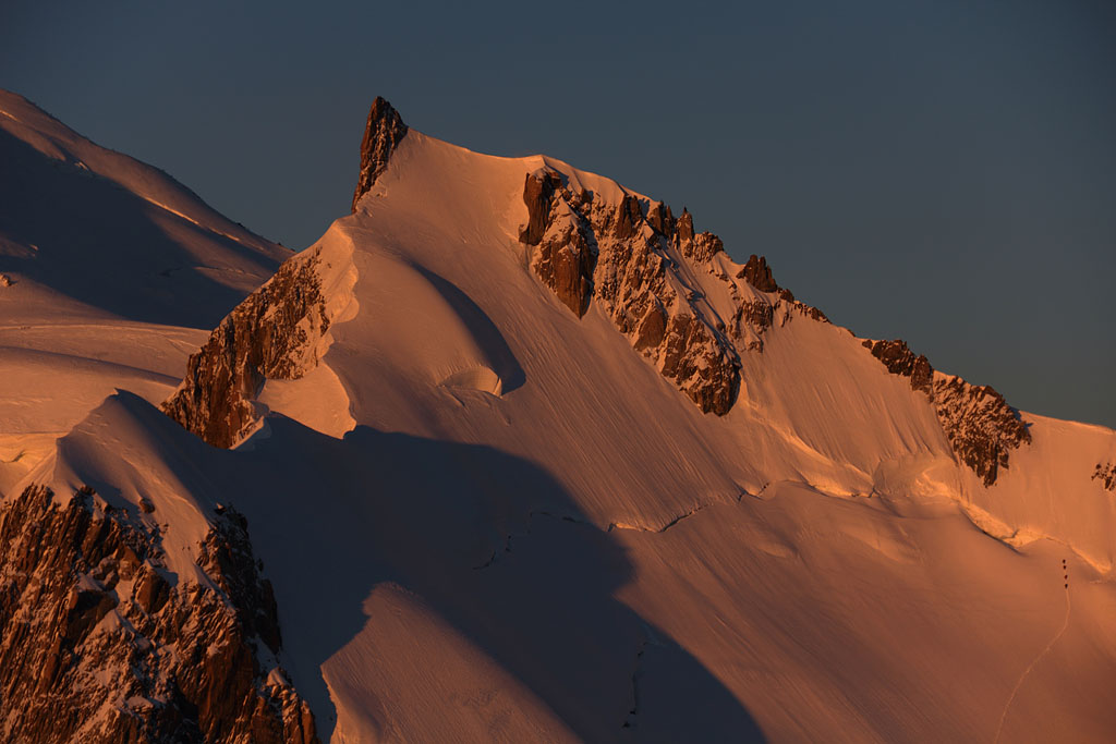
beginning of Rochefort ridge |
Dent du Geant in morning light |
other climbers following |
view down to Mer de Glace |
view to Mont Mallet |
final part of Rochefort ridge to Dôme de Rochefort |
Dôme de Rochefort summit view to Gran Jourasses |
Dôme de Rochefort view to N |
view back to Dôme de Rochefort |
crossing Aiguille de Rochefort on the way back |
back view on Rochefort ridge |
back view to Rochefort ridge |
back view to Rochefort ridge |
back view to Rochefort ridge |
on the way to A.d.Midi, Montblanc behind |
on the way to A.d.Midi, Tour Ronde behind |
view back to M.B.d.Tacul |
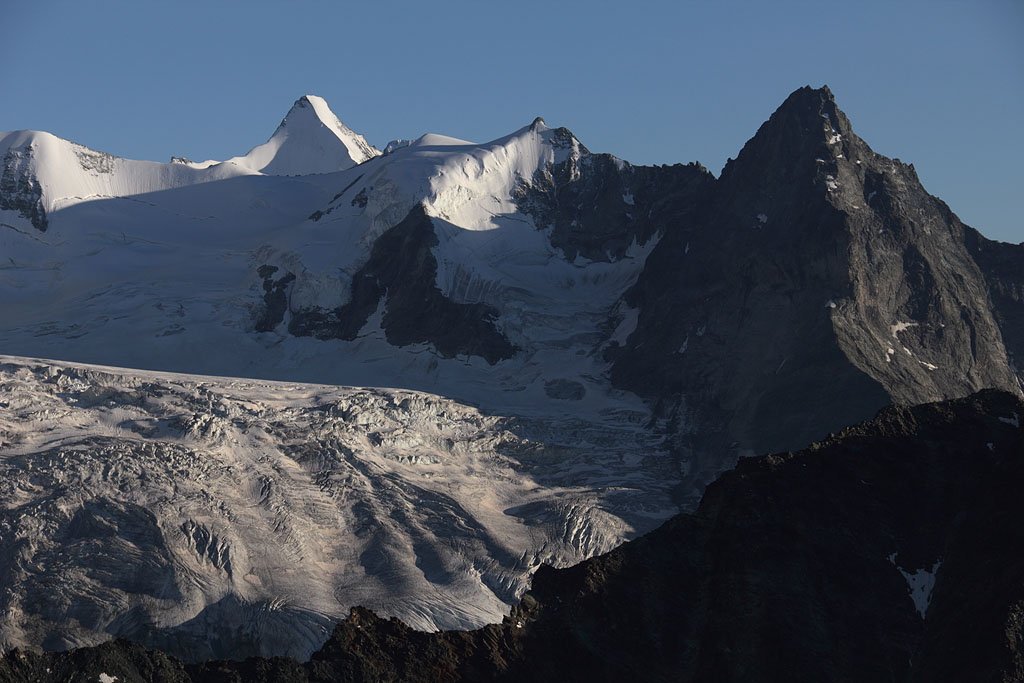
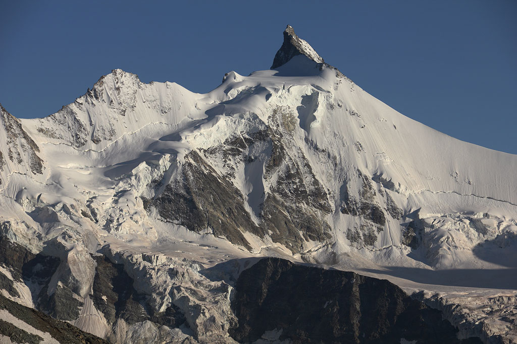
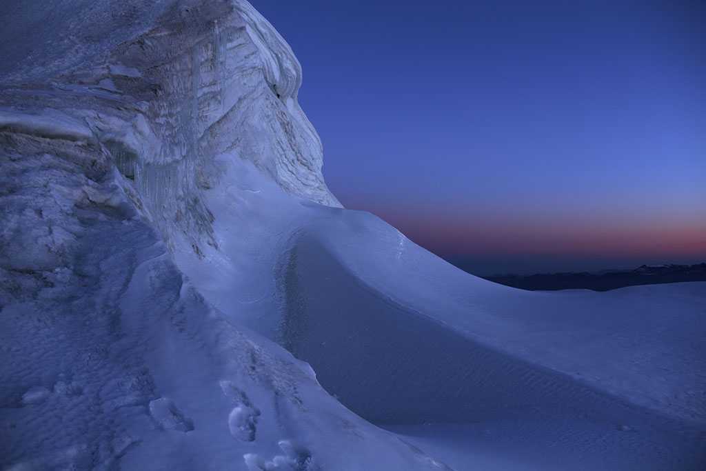
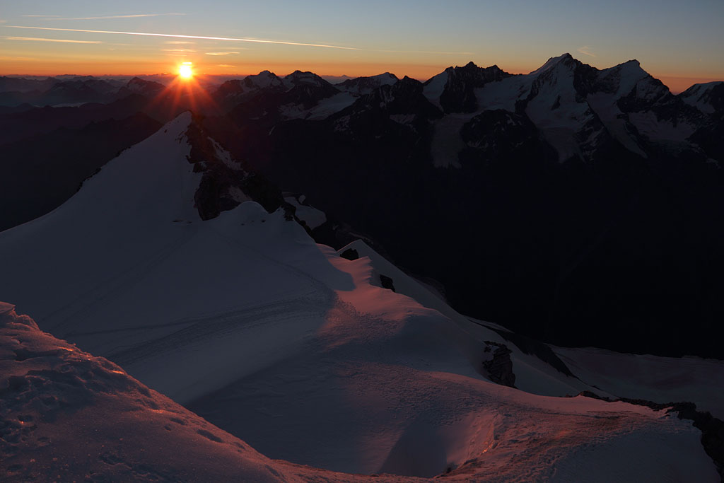
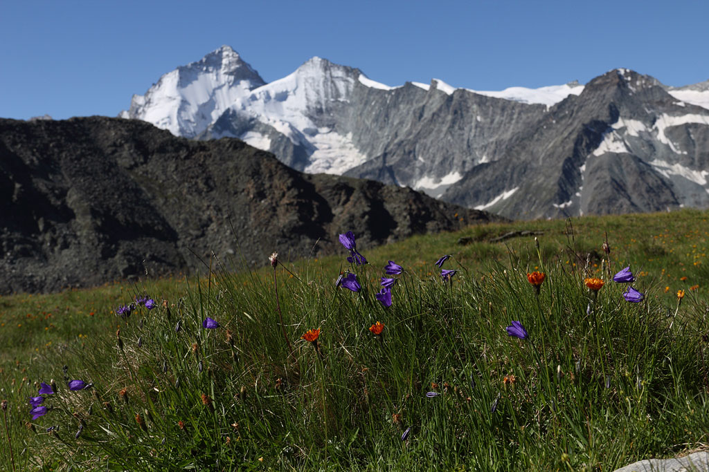
Bishorn (4153m)
Switzerland, Wallis, 15.8.-16.8.13
2 day tour from Zinal
1.th day: drive to Zinal and ascent to Col de Tracuit, perfect tent night near Glacier.
2.th day: night ascent to Bishorn, sunrise at the summit, descending the same way. Easy climb but partly crevassed.
Obergabelhorn and Besso |
Zinalrothorn |
Zinalrothorn |
Deent Blanche at sunset |
dawn shortly below summit |
sunrise at the Bishorn summit |
Weisshorn at sunrise |
Monte rosa range |
Weisshorn N-ridge with Dent Blanche behind |
Weisshorn in early sunlight |
E-view |
view to Mischabel range |
summit view to E |
view to Pointe Burnaby |
Pointe Burnaby view down to Brunegghorn |
crevassed terrain |
view back to Bishorn |
Zinalrothorn |
 |
back to the meadows |
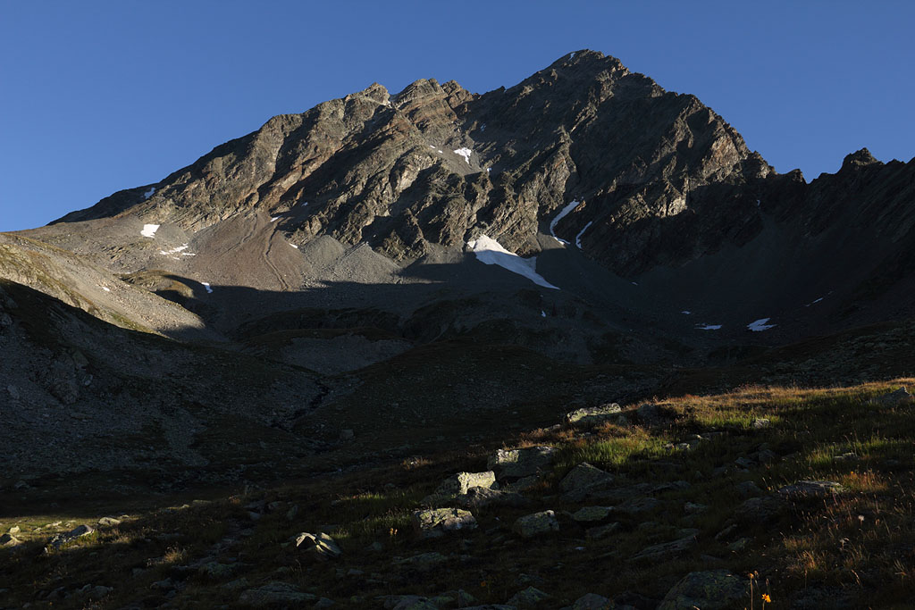
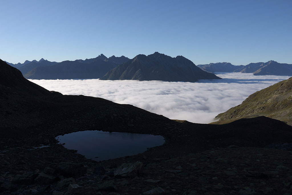
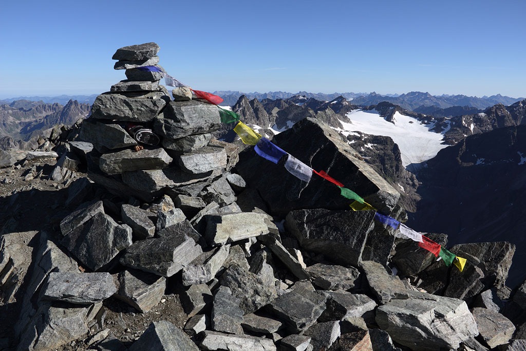
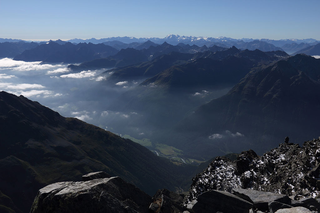
Piz Linard (3414m)
Switzerland - Rätische Alps, highest mountain of Silvretta range, 21.8.13
Day tour from Lavin. Easy climb (partly steep with loose gravel, grade I)
view to Piz Linard |
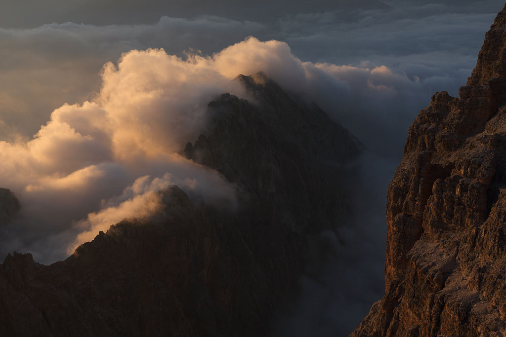
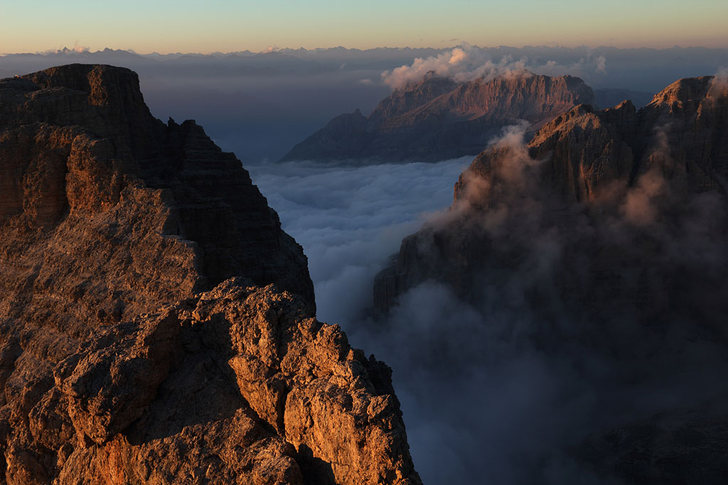
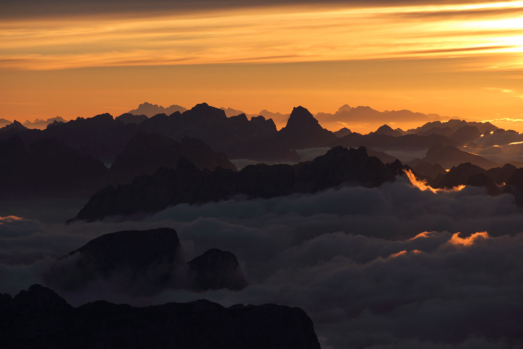
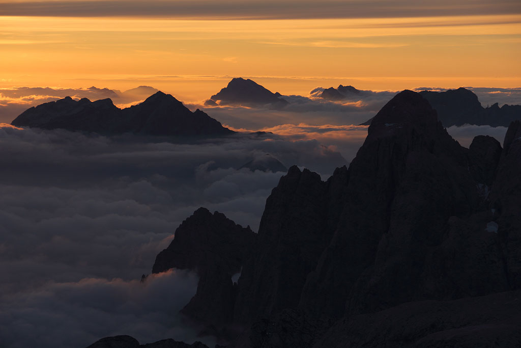
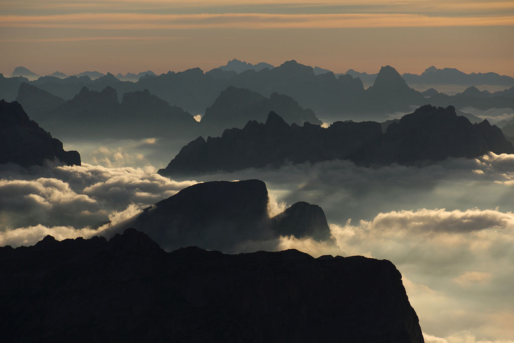
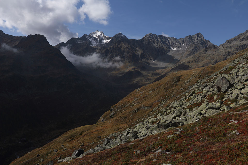
S-view with fog layer below |
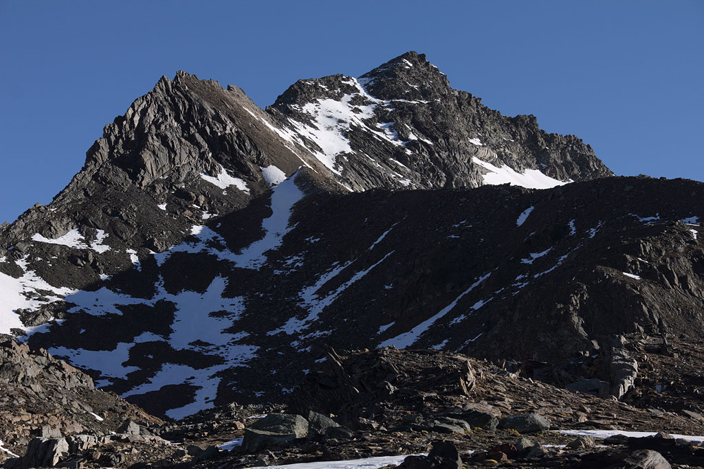
summit of Piz Linard |
summit view to Ortler range |
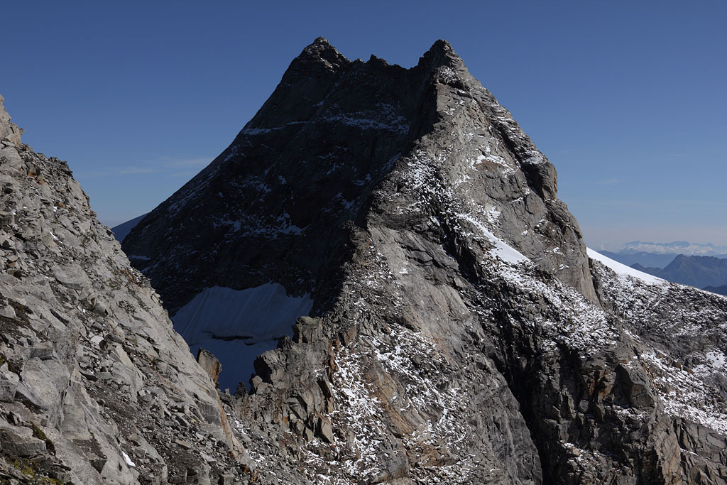
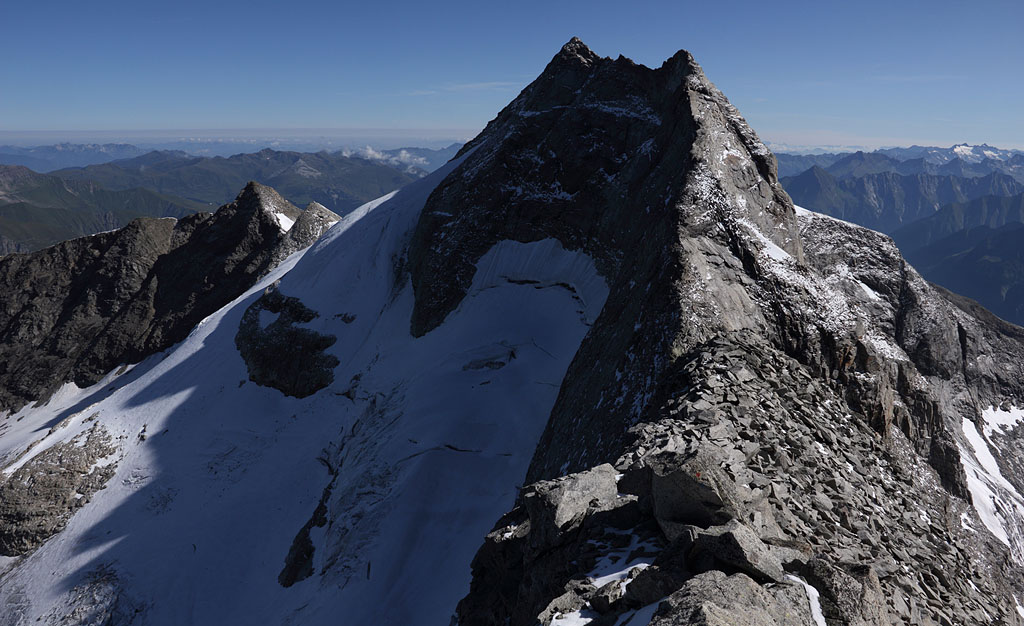
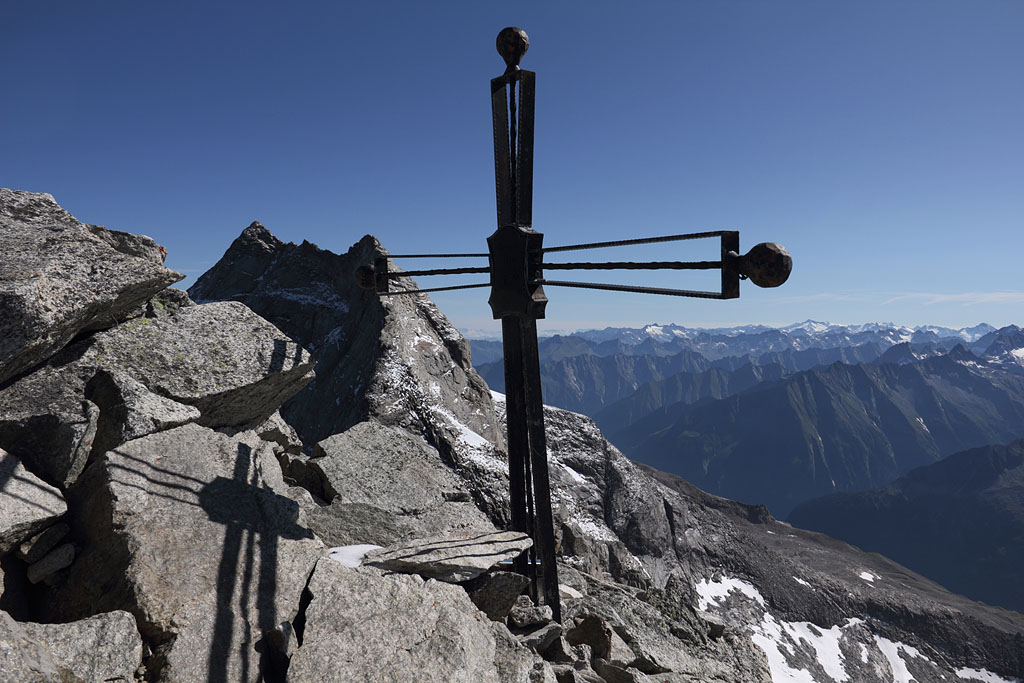
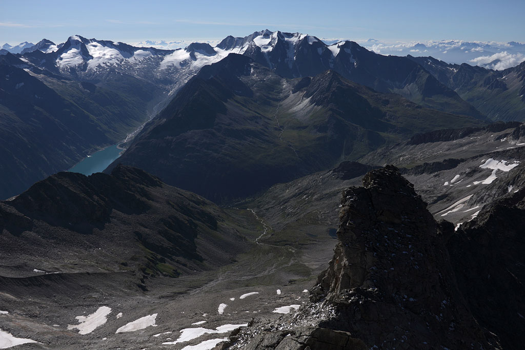
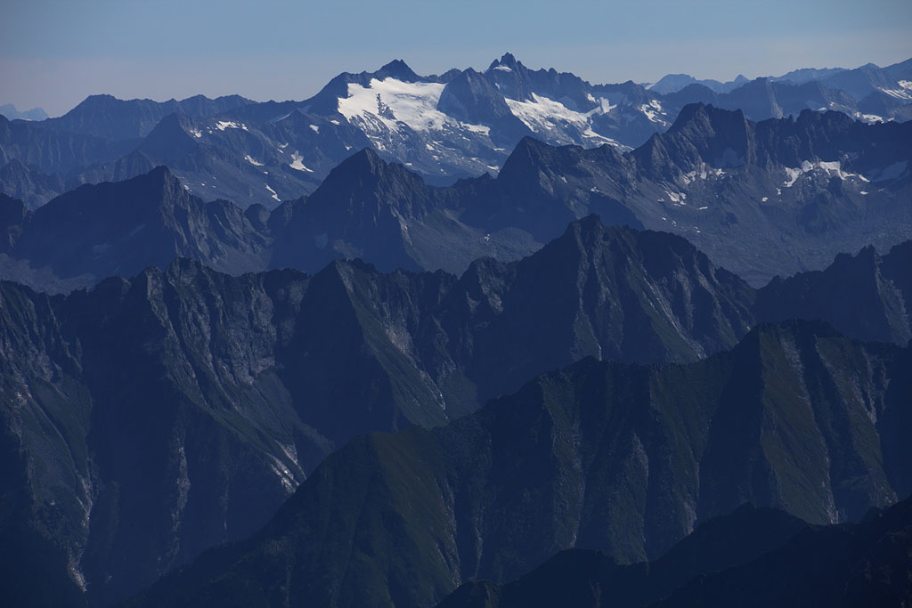
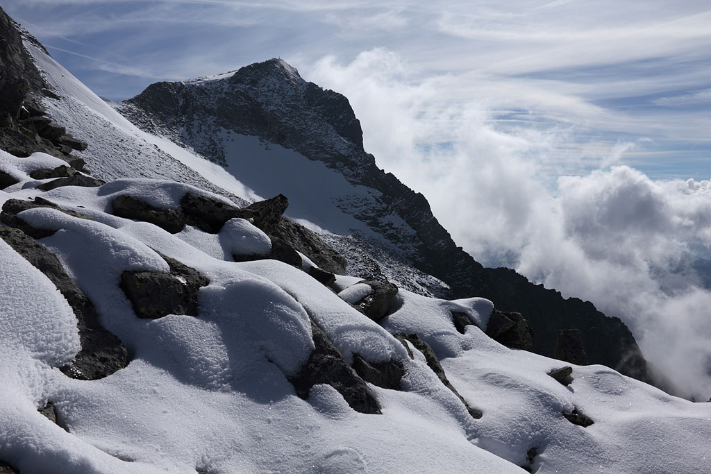
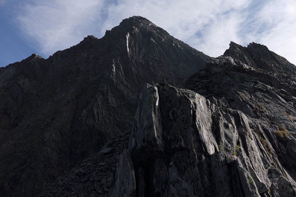
Fußstein (3381m)
Austria - Tirol, Zillertaler Alps, 22.8.13
Day tour, ascent from St. Jodok, SW-route, not easy (due to lost way), long and exposed climb in permanent shadow
(grade II when keeping ideal line) with some fresh snow, real rockfall danger (got small injury) !
morning view to Habicht |
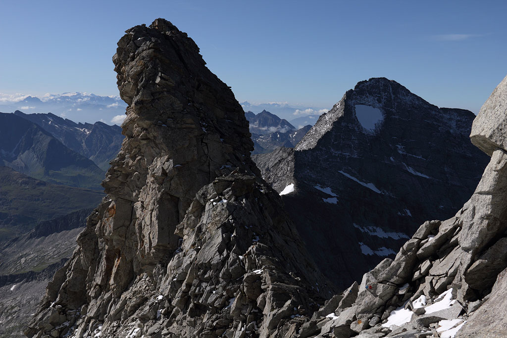
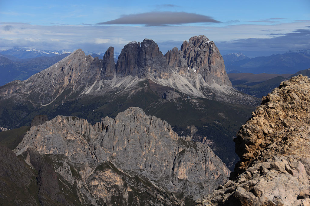
S-view to Marmolada |
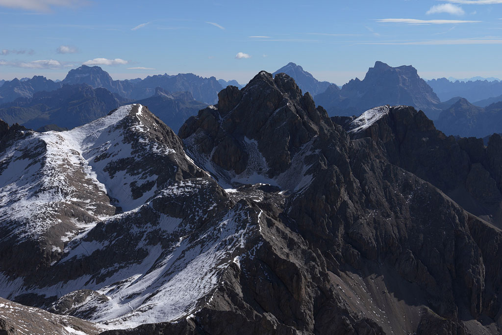
first view to Olperer |
view back to upper saddle |
summit view to Olperer |
Fußstein summit |
S-view to Möseler and Hochfeiler |
view to Reichenspitz range |
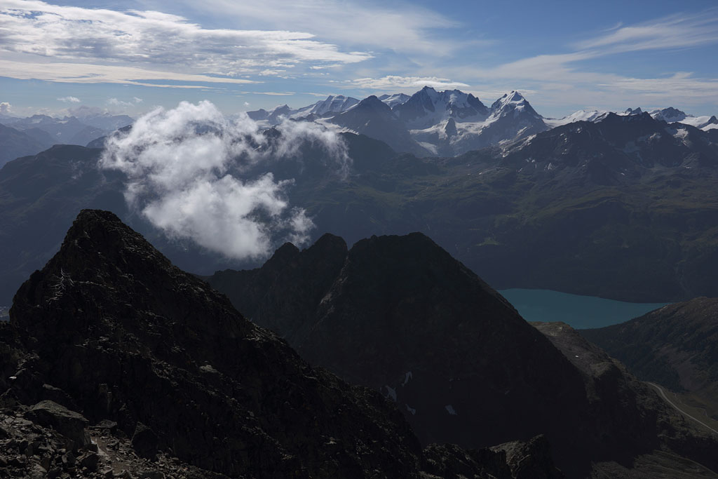
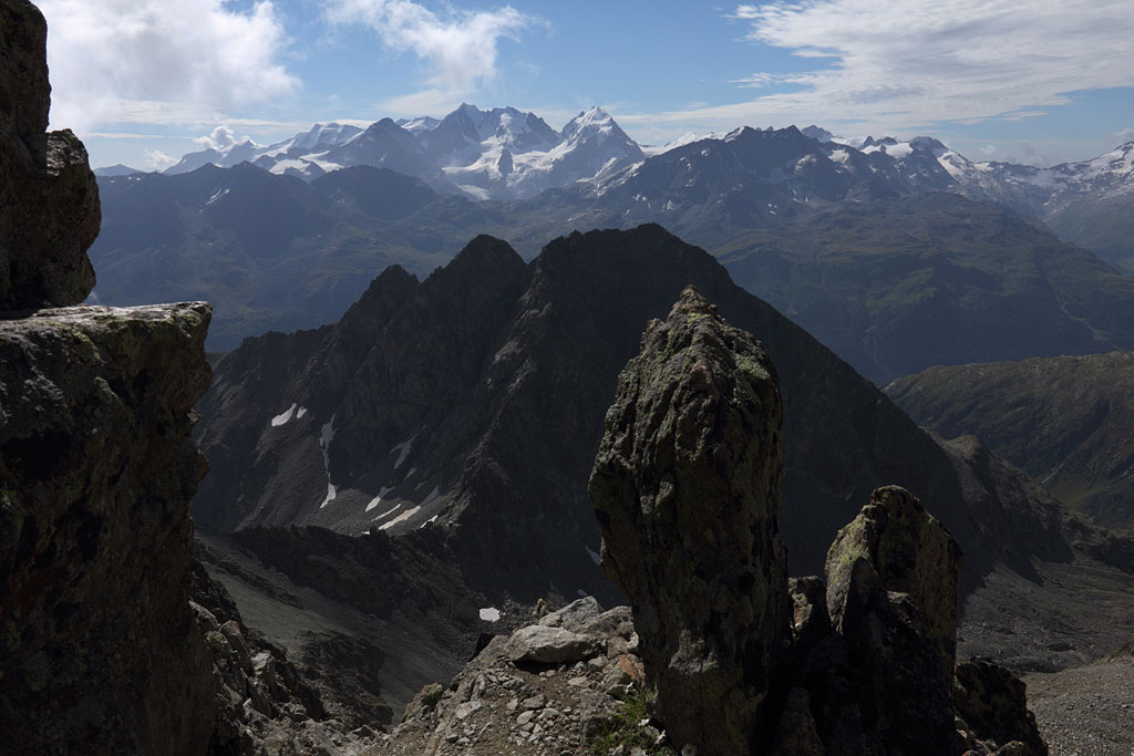
Piz Julier (3380m)
Switzerland - Graubünden, highest mountain of Güglia range, 24.8.13
Day tour, ascent from St. Moritz, easy climb with fixed ropes
ascent via Fuorcla Albana |
Piz Ela to the N |
summit view to Bergell range |
summit view to N |
summit view to Piz Palü |
view to Bernina range |
view to Bernina range |
view to Piz Bernina |
Ruthner Horn (3358m)
Italy - Südtirol, Rieserferner range, 30.8.13
Day tour from Rain, crossing of Fernerköpfl (3249m) and detour to Magerstein (3273m), easy climb with fixed rope, but often deep fresh snow.
ascent with view to Magerstein |
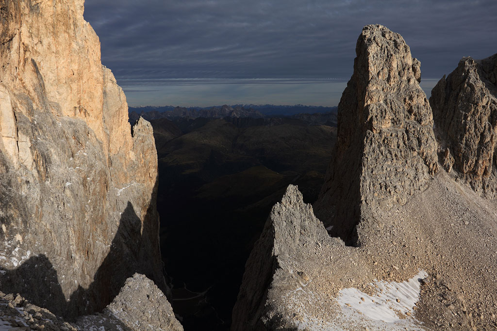
view from Fernerköpfl to S |
view to Hochgall |
view to Venediger range |
Ruthner Horn (or Schneebiger Nock) summit |
back to Fernerköpfl |
N-view to Ruthner Horn from Magerstein |
view to Hochgall |
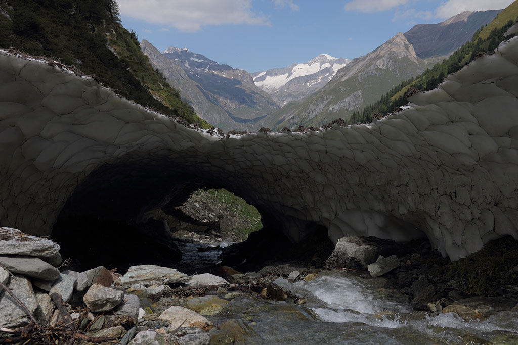
Lasörling (3098m)
Italy - Südtirol, highest mountain of Lasörling range, 31.8.13
Day tour from Prägraten, easy climp, slightly exposed, partly fixed rope, detour to SE-summit (3055m)
view to Venediger |
route to the summit |
main summit seen from SE summit |
avalanche remnant above river |
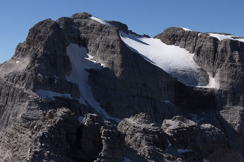
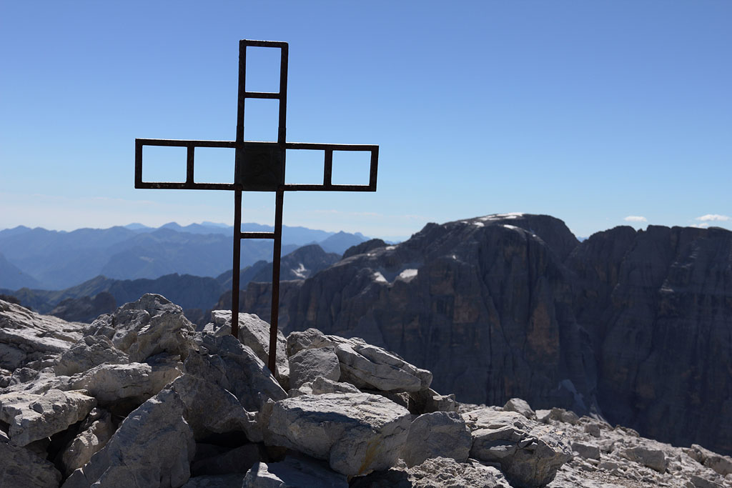
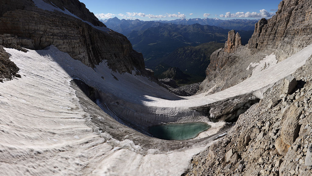
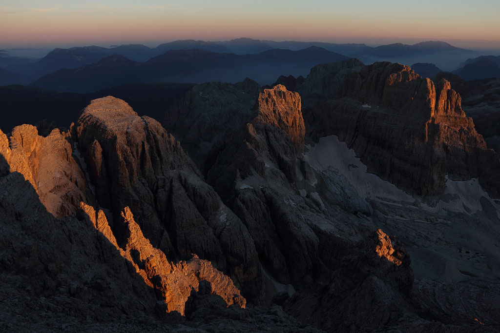
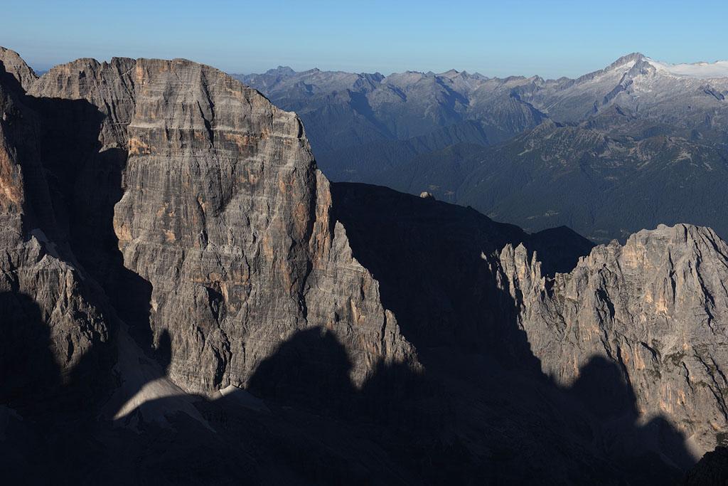
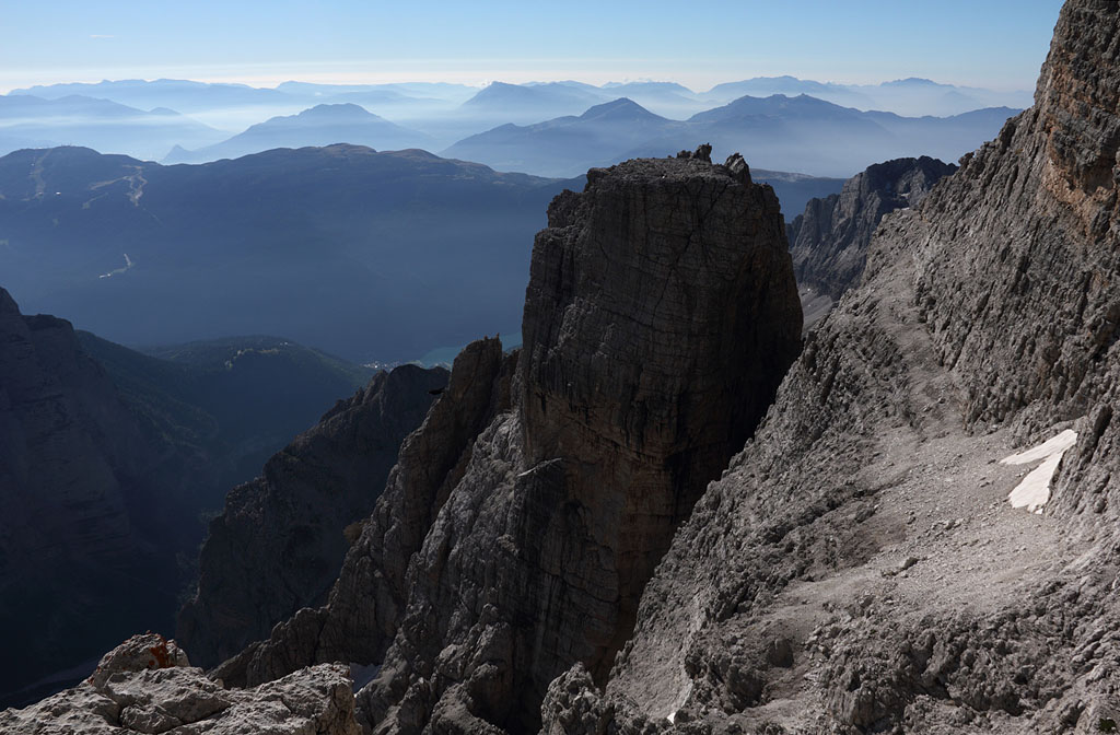
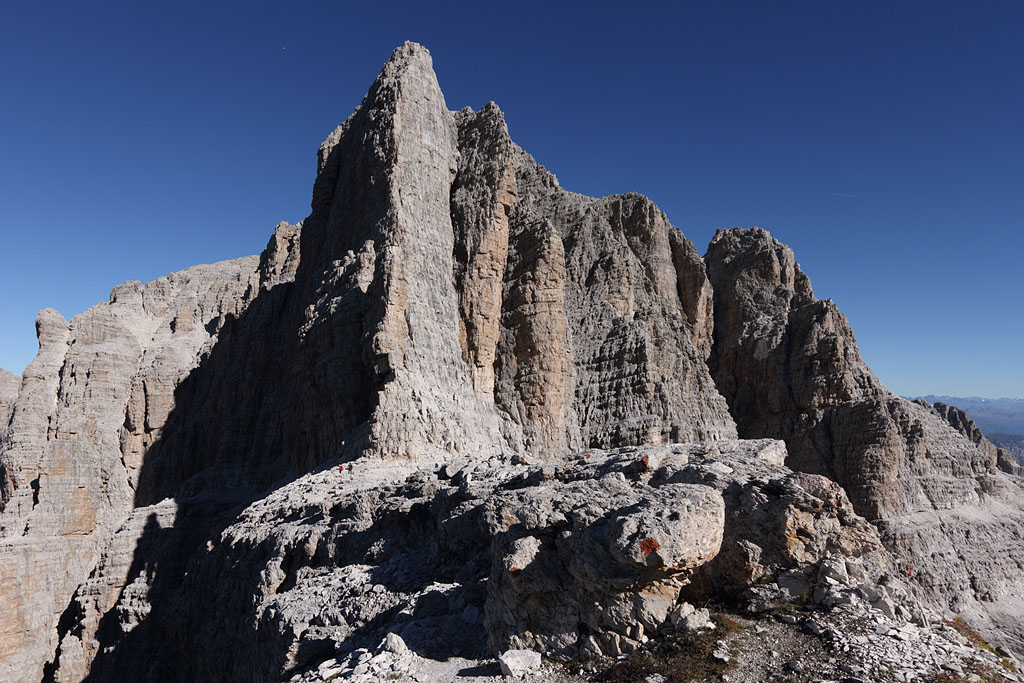
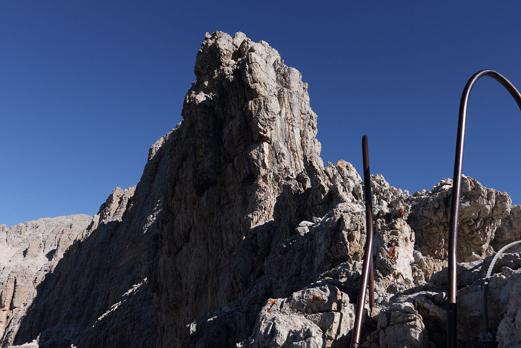
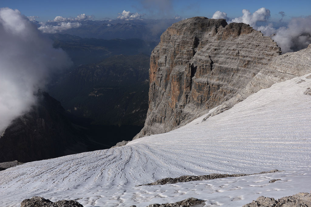
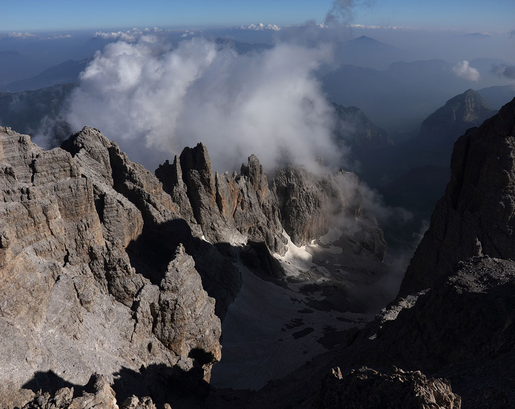
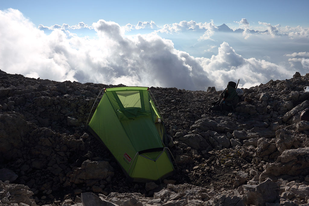
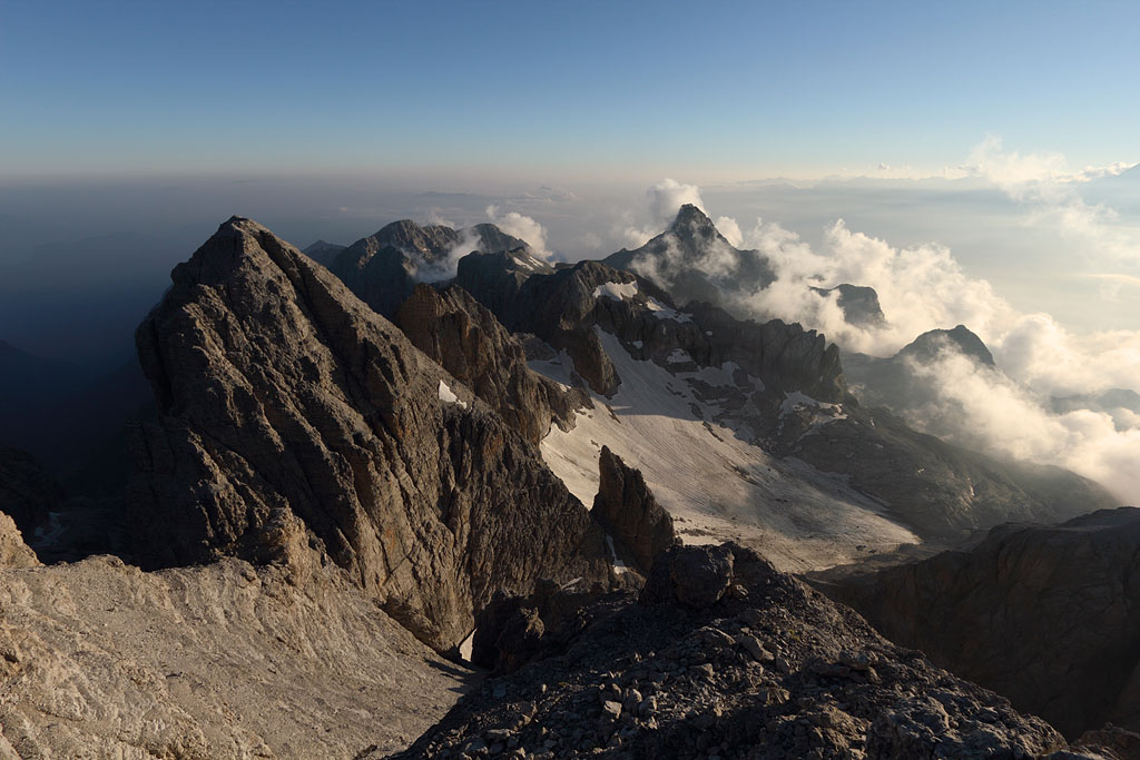
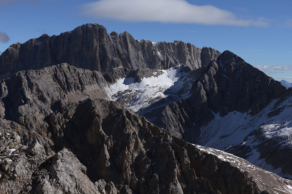
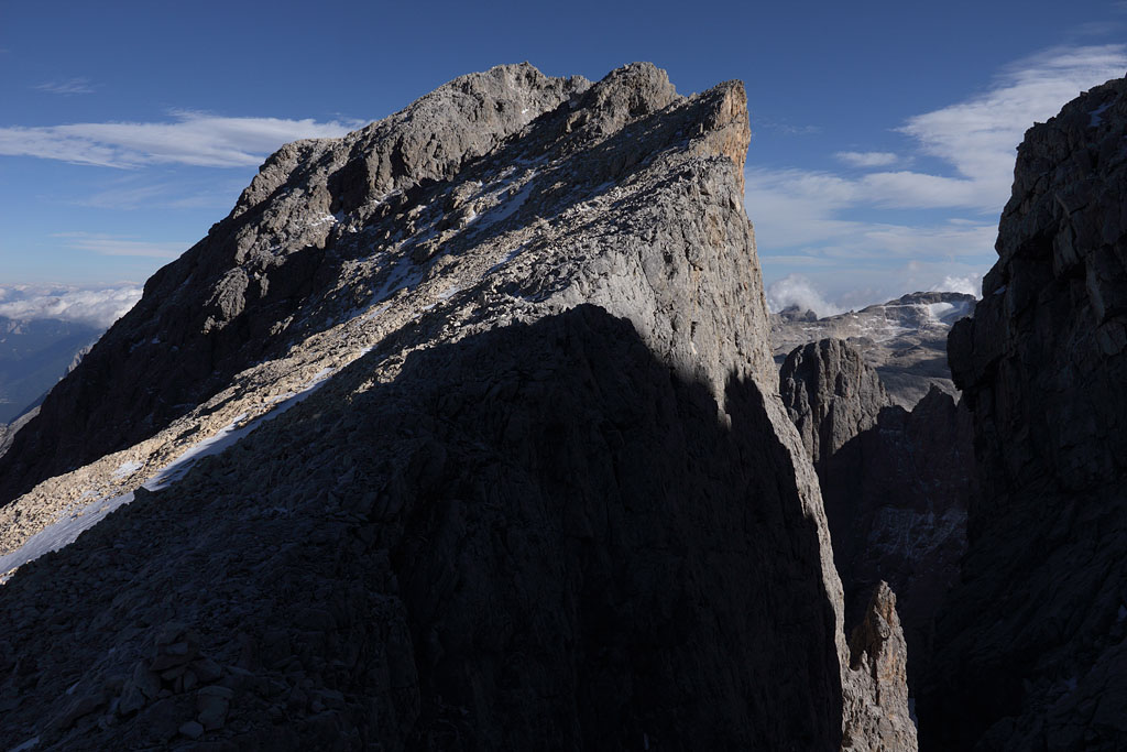
Cima Brenta (3151m) - Cima Mandron (3040) - Cima Tosa (3173m)
Italy - Trentino, C.Tosa highest mountain of the Brenta range, 3.9.-5.9.13
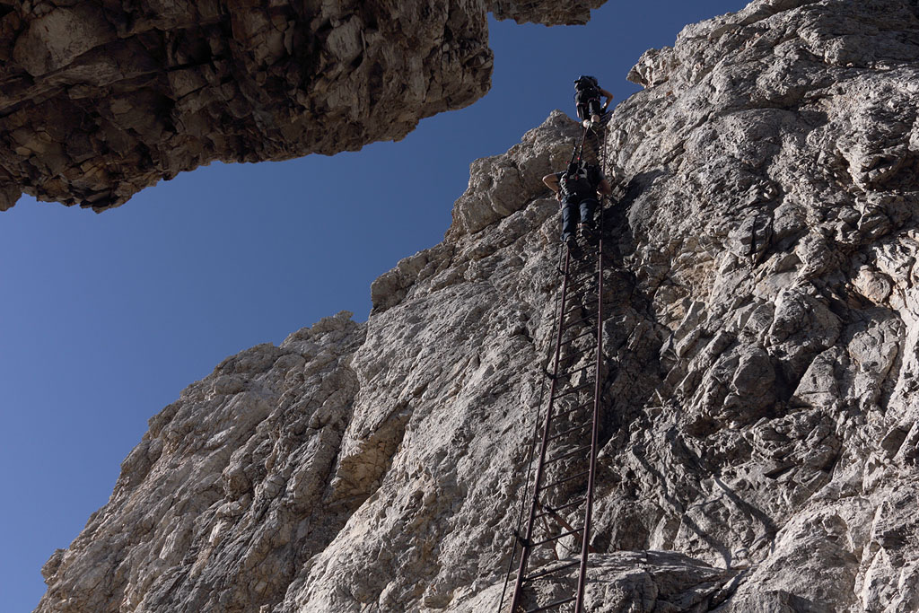
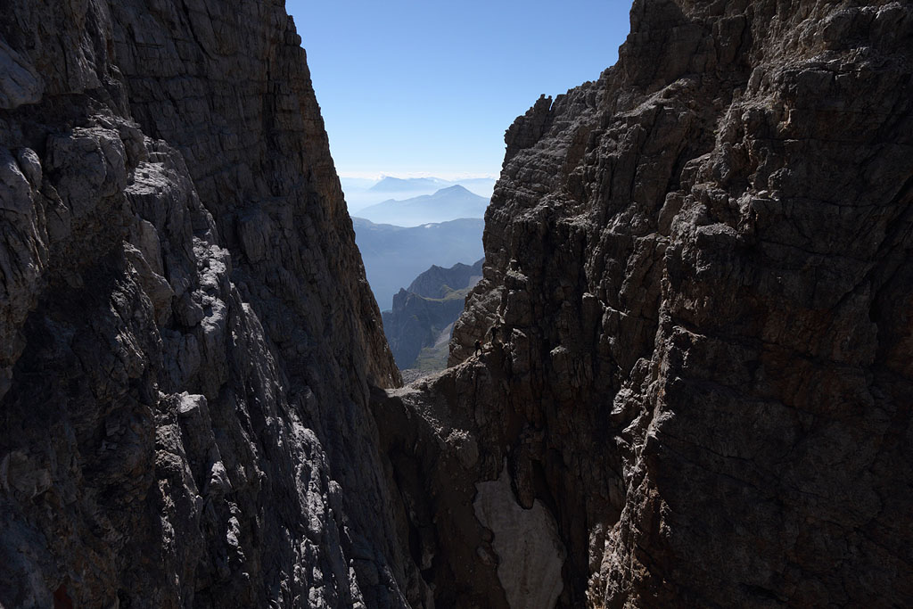
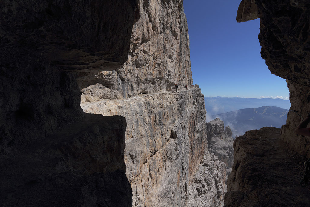
3 day tour, crossing of Brenta range following famous fixed rope routes, Groste Pass toVallesinella.
1.th day: driving to Madonna d. Camp., cable car to Groste Pass, Via Benini to Cima Falkner (2999m), easy (grade I),
climbing Cima Brenta E summit (3110m) from Bocchette Alte fixed rope route, easy climb (grade I-II),
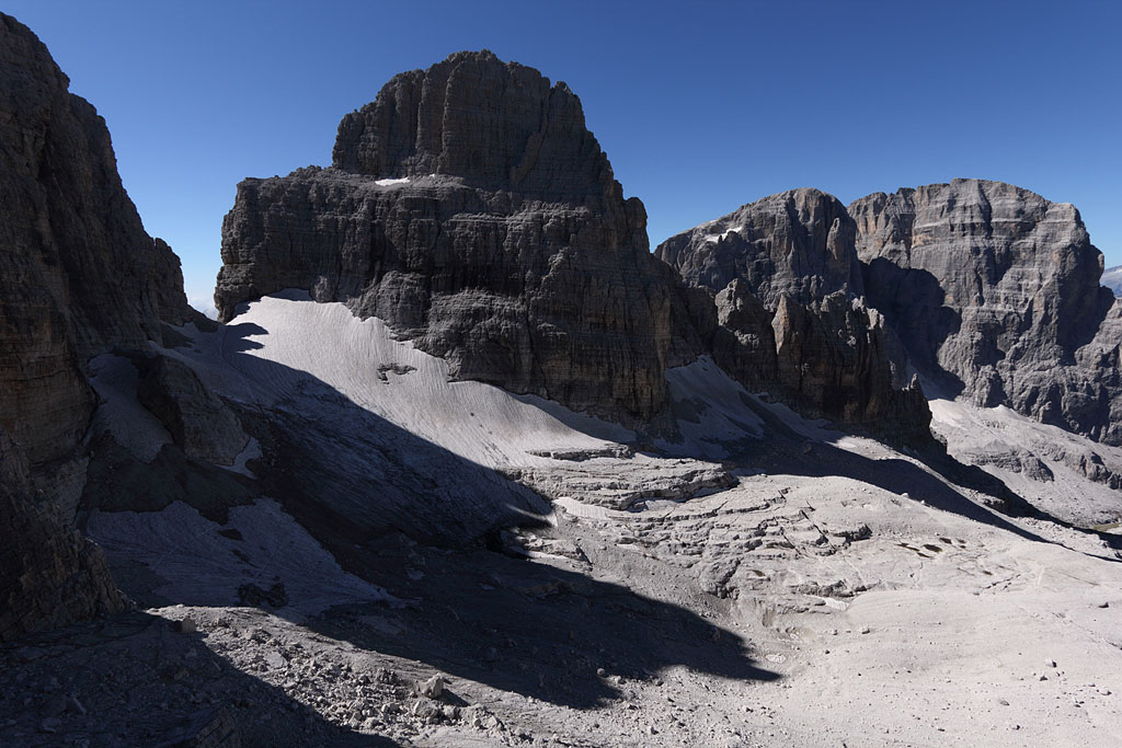
climbing Cima Brenta (3151m), difficult and exposed climb due to Glacier retreat (grade II+ down to gap, vertical rock Grade III out of gap),
crossing of Cima Brenta W (3124m), detour to first Kiene Tower (3036m), climbing Cima Mandron (3040m),
detour to second Kiene Tower (3021m) and back to C.Brenta W (all easy climbs grade I-II, but loose rock), tent night near top of C.Brenta W.
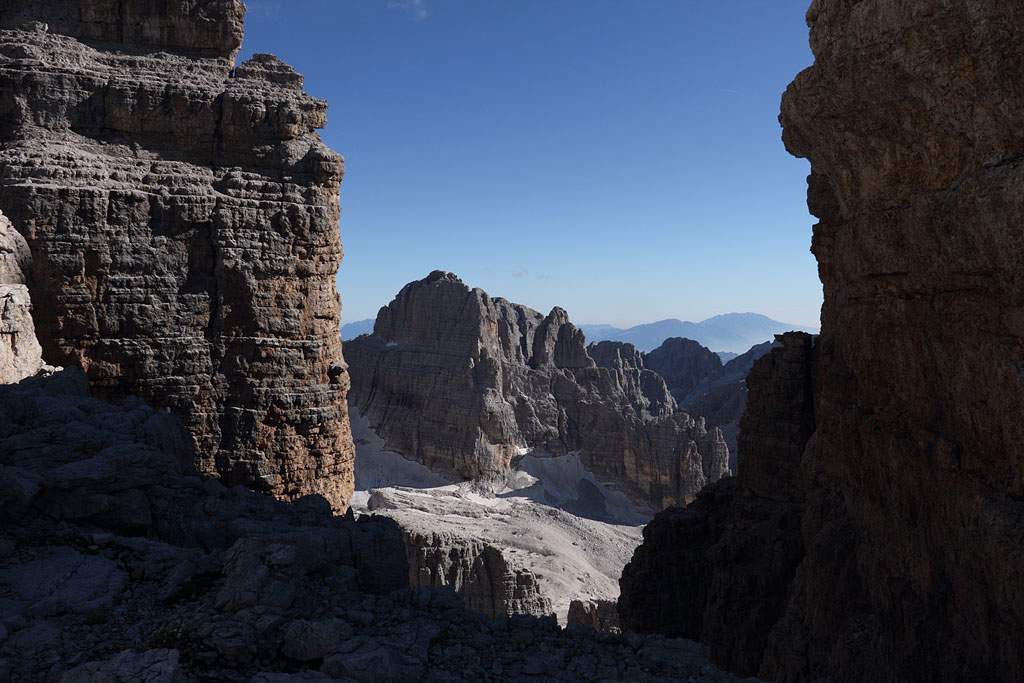
2.th day: crossing back to C. Brenta, rappelling into gap, then via C.Brenta E down to Bocchette Alte, short detour to Spallone dei Massodi (3004m),
Bocc. di Molveno, Bocc. di Brenta, Sent. Brentari, climbing Cima Tosa (easy but one steep and exposed chimney grade II), tent night near top.
3.th day: rappelling down to Sent. Brentari, Bocc. d. Ambiéz (steep fixed rope routes), long way down to Vallesinella, driving home.
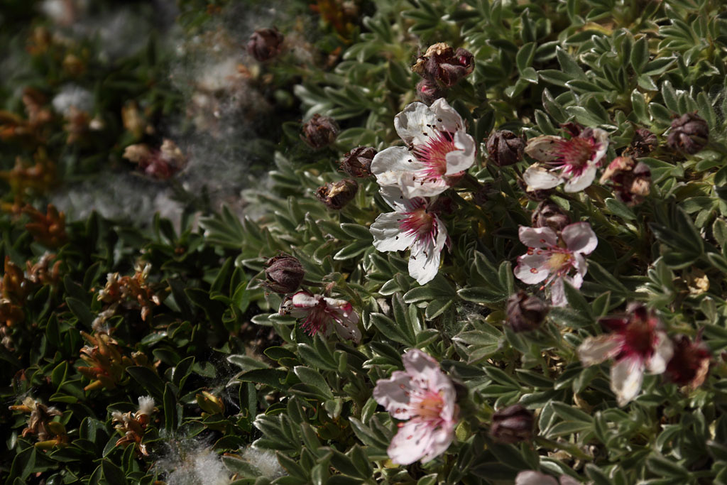
view to Cima Brenta from Cima Falkner summit |
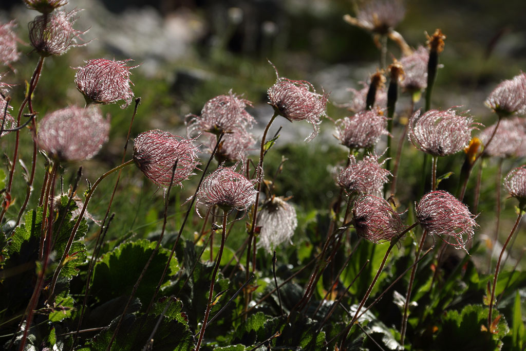
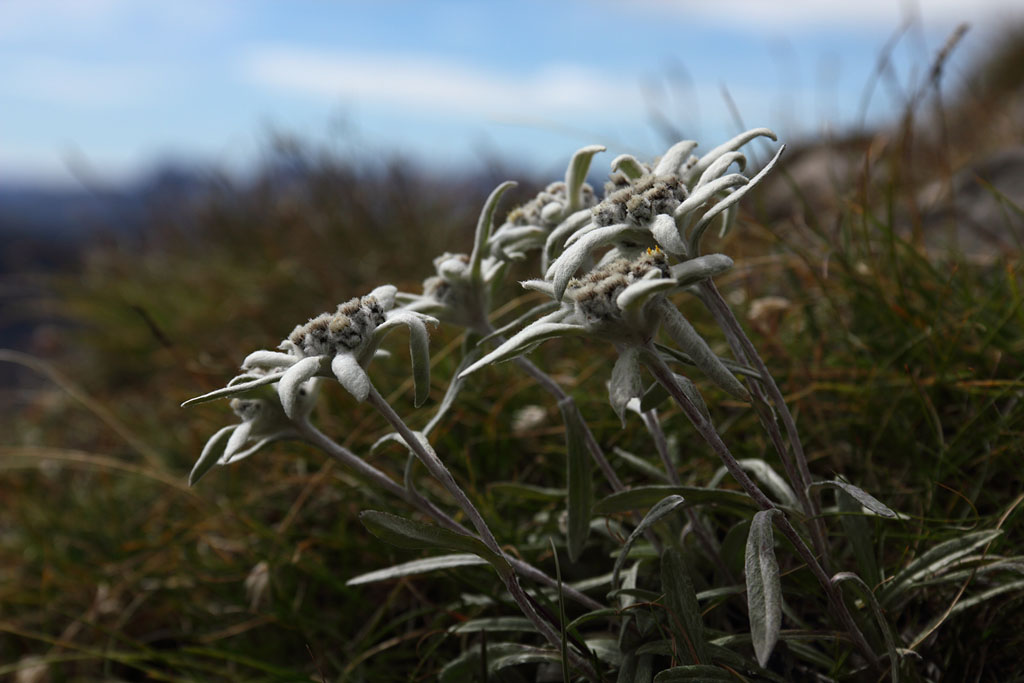
alpine flowers |
on Sent. Benini |
on Sent. Bocchette Alte |
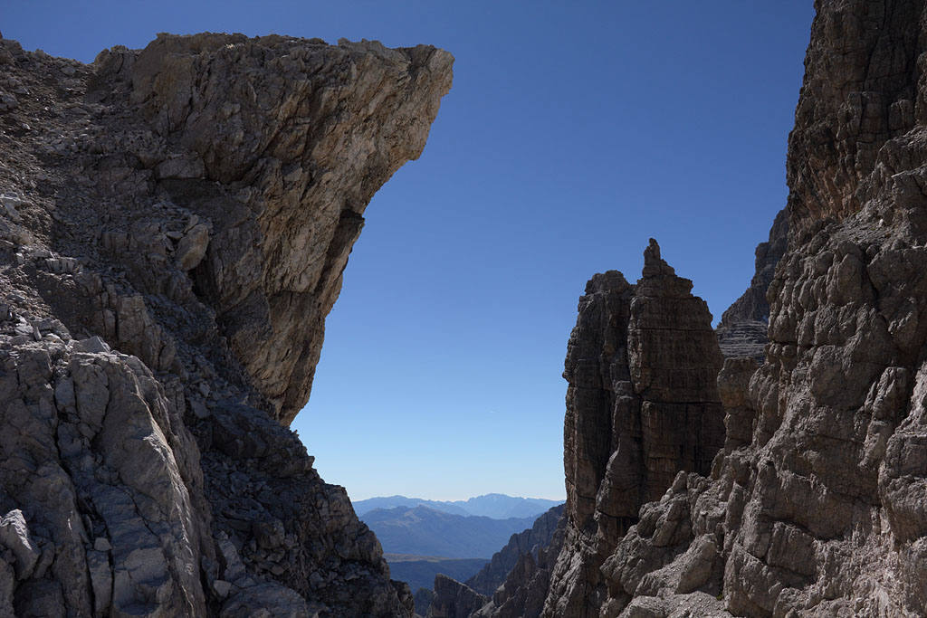
Kiene Towers |
main summit of Cima Brenta |
crossing to W-summit (left) |
view to Cima Mandron |
on the way to Cima Mandron |
|
summit of Cima Mandron |
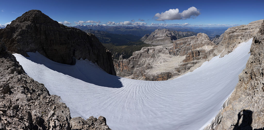
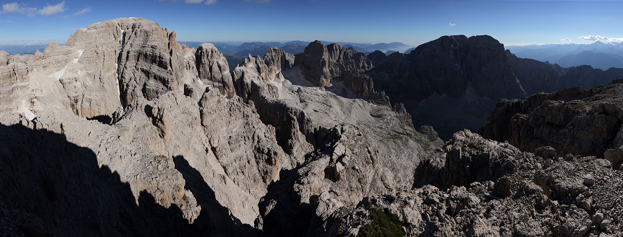
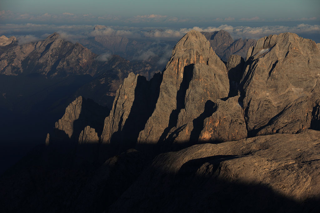
panoramic view from Cima Mandron, Cima Brenta (left) to Cima Tosa (right) |
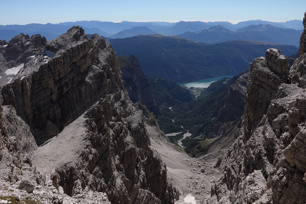
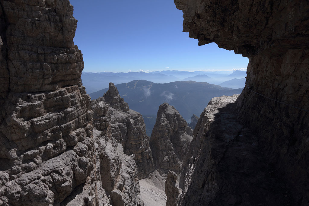
view down to Cima Falkner and Groste Pass far behind |
route for next morning-S.d.Massodi to C.d.Armi |
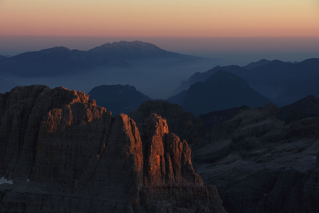 |
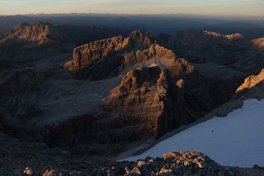
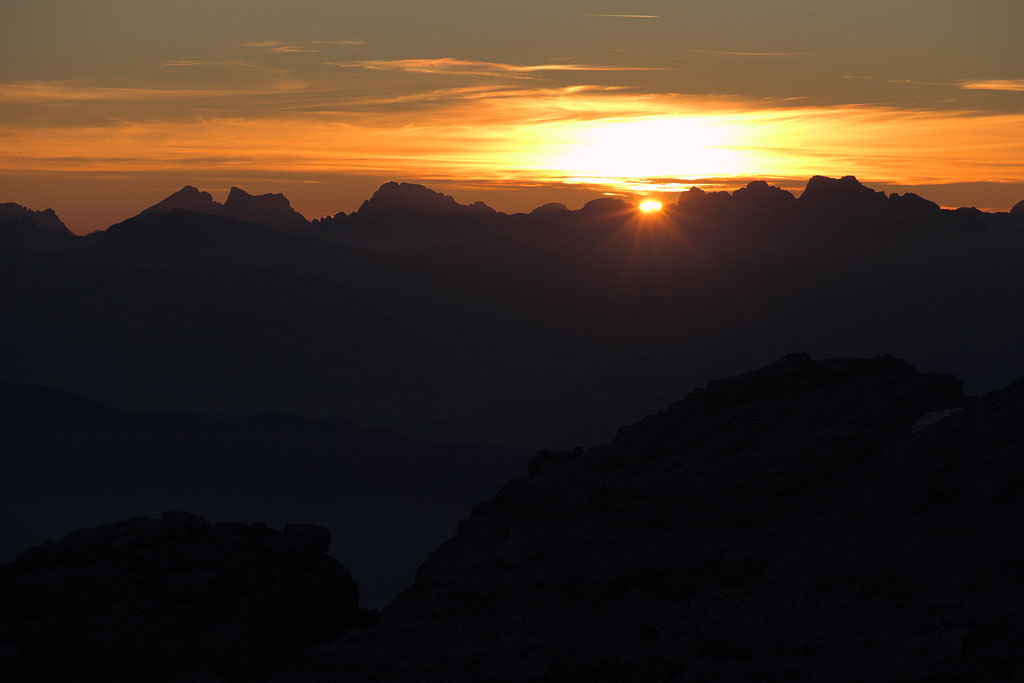
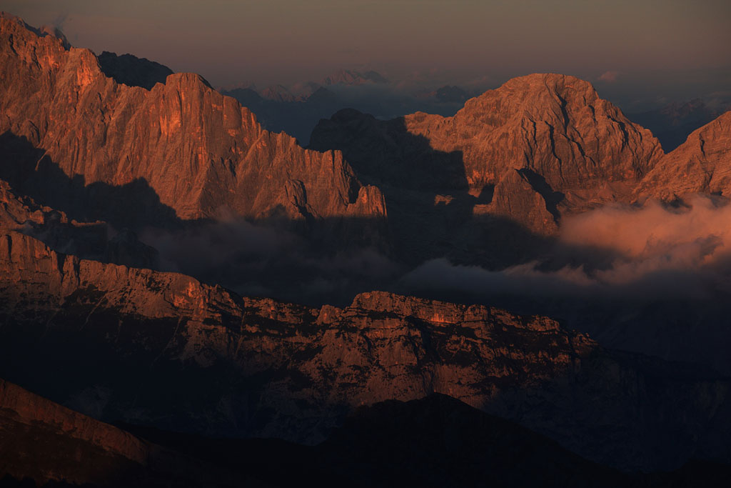
sunset behind Adamello range |
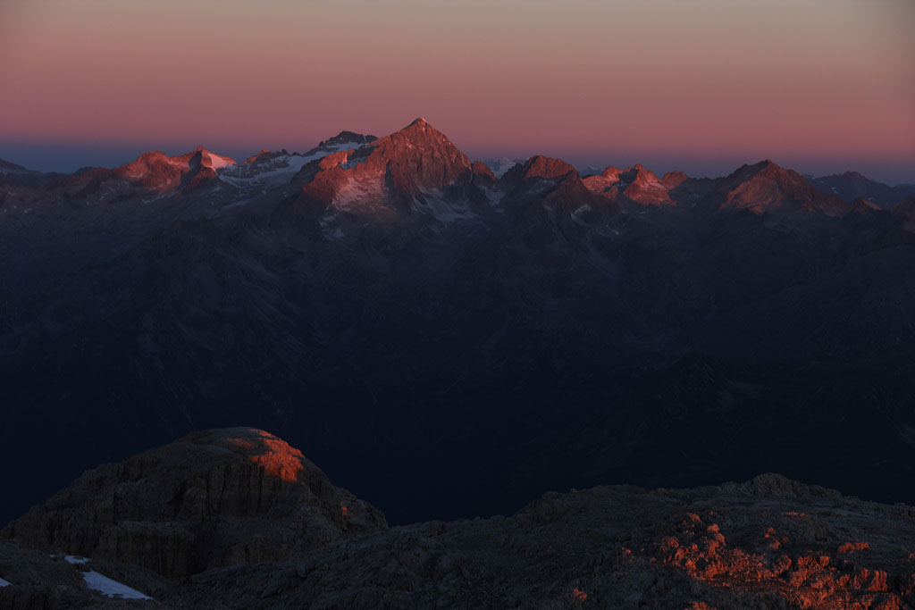
sunrise view to Presanella |
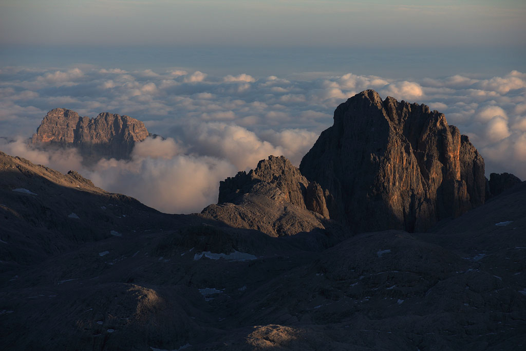
Cima Tosa to the S, place for next tent night |
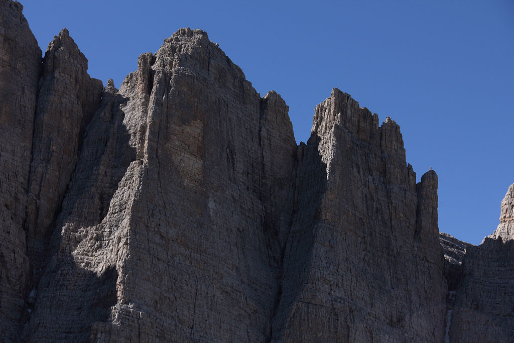
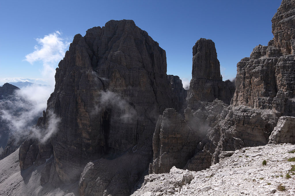
Crozzon di Brenta |
back to Bocchette Alte |
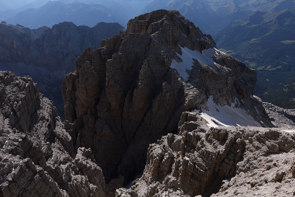
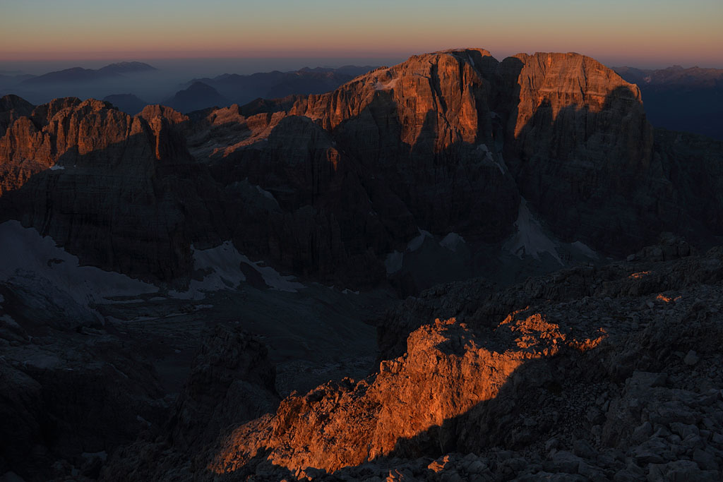
view back to Cima Brenta |
Sentiero Bocchette Alte |
Sentiero Bocchette Alte |
 |
Bocca di Massodi |
Torre di Brenta and C. Tosa |
Sentiero Bocchette Centrale |
Sentiero Bocchette Centrale |
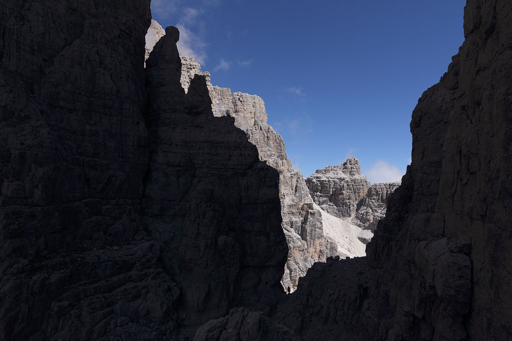
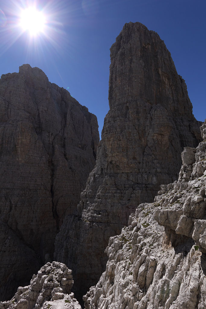
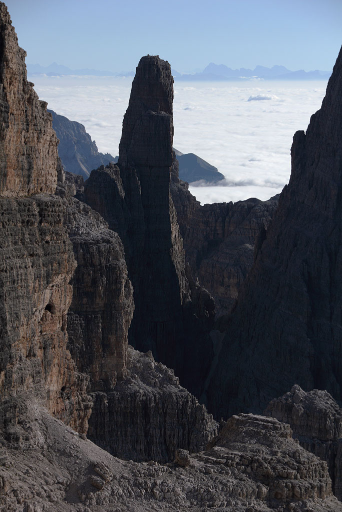
Cima Brenta alta and Campanile Basso |
Campanile Basso |
 |
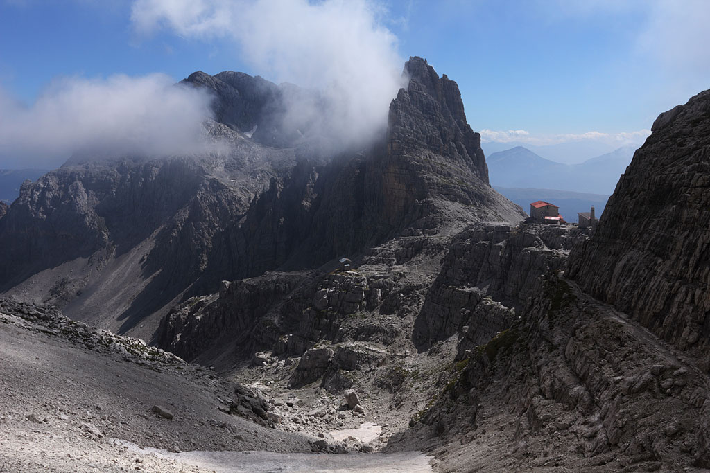
Rif. T. Pedrotti |
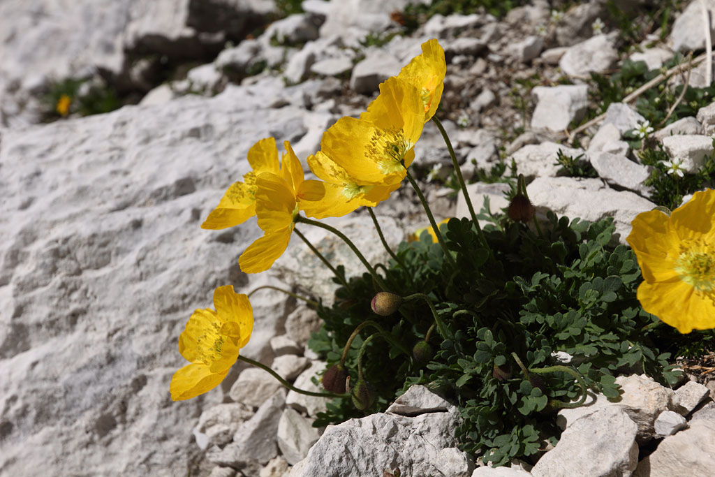
Alpine poppy |
Cima Brenta bassa |
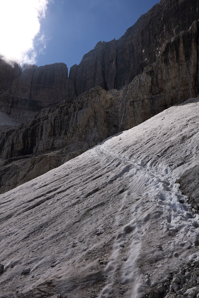
Cima Tosa ascent |
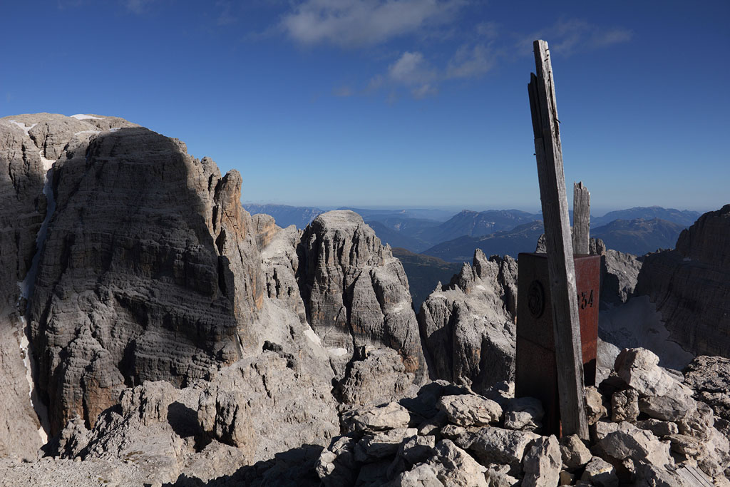
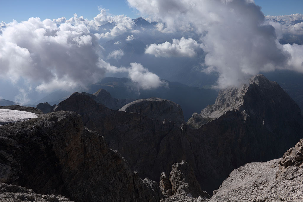
C. Tosa summit view to W |
Cima Tosa summit |
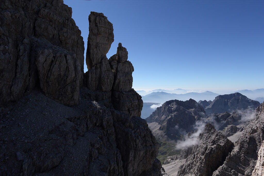
view to Crozzon di Brenta |
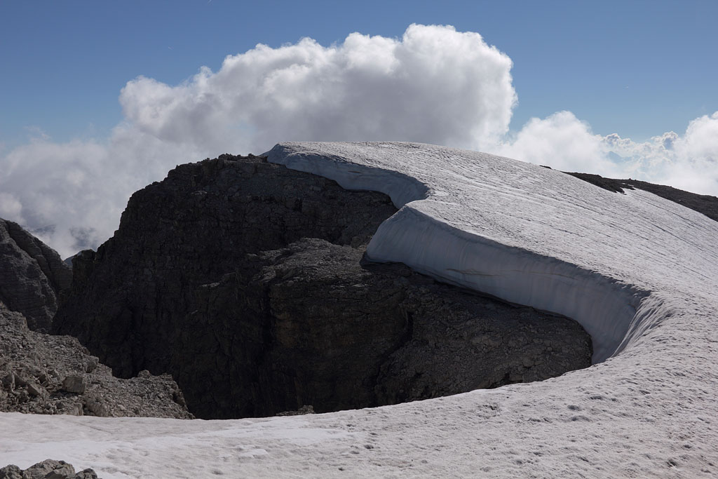
S-view, route for next morning below |
campsite |
Cima d´Ambiez |
 |
Crozzon di Brenta |
view back to Cima Brenta |
Crozzon di Brenta |
sunset behind Adamello range |
Cima Vallon at sunrise |
C. Ambiez and C. Vallon |
Cima Tosa summit |
 |
view to Presanella |
Campanile Basso |
Sentiero Brentari |
Sentiero Brentari |
C. Ambiez with Sentiero dell´Ideale to the right |
view back to Sentiero Brentari |
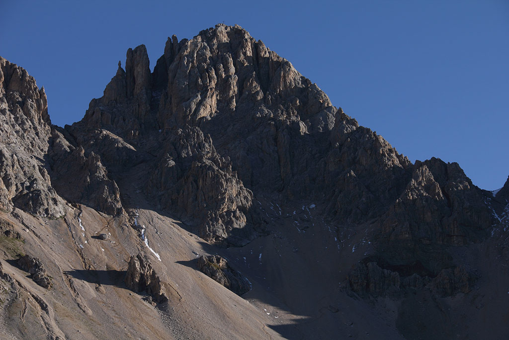
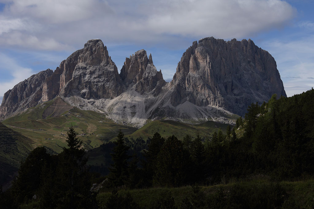
Cima dell' Uomo (3010m)
Italy - Dolomites, Marmolada range, 14.9.13
Day tour, ascent from Pellegrino Pass via S-wall, afterward crossing OmGran (2810m) and directly down to S, easy climb (grade I+) but steep gravel at the beginning of S-wall.
Langkofel range in first sunlight |
Cima dell'Uomo S-wall |
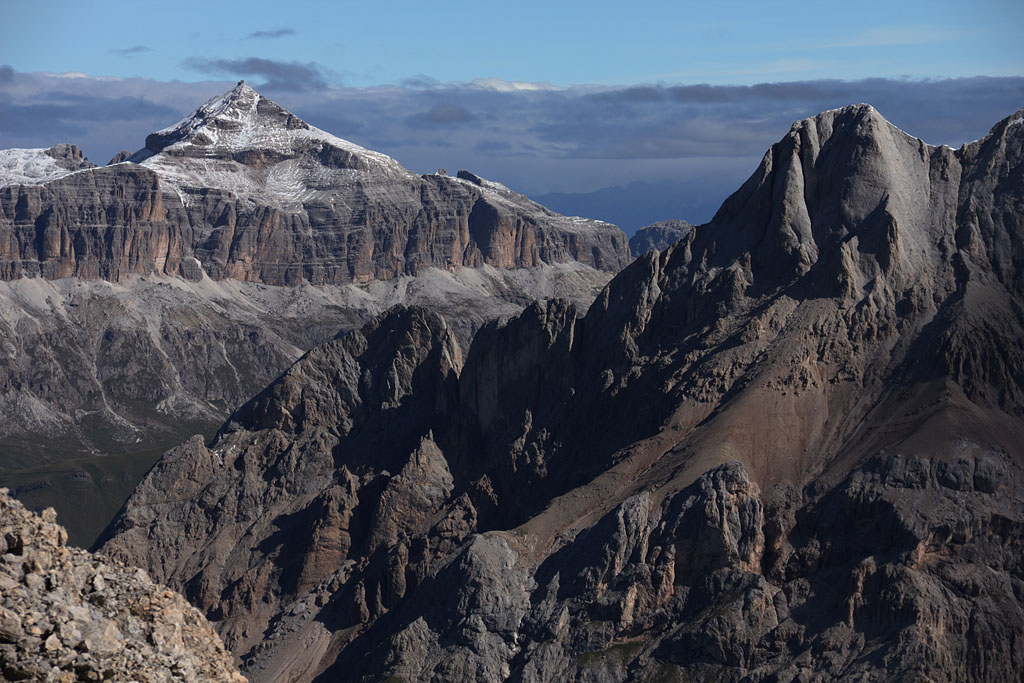
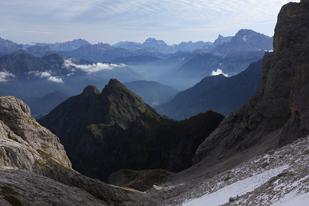
summit view to Marmolada S-wall |
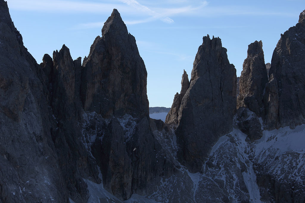
summit view Langkofel range |
view to Sorapiss, Antelao and Pelmo |
view to Piz Boe and Vernell range |
Cima dell'Uomo summit |
Langkofel range while driving home |
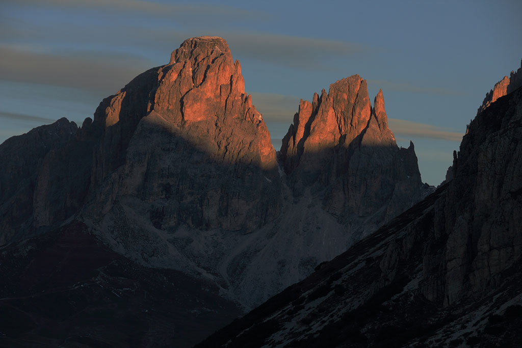
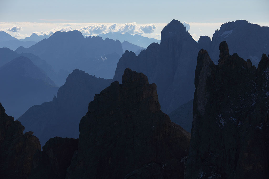
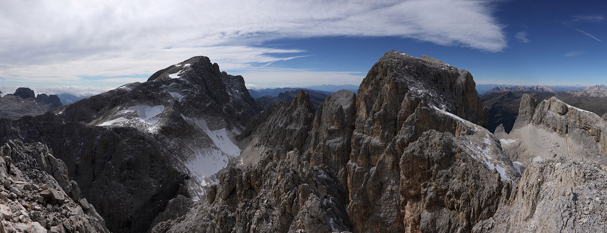
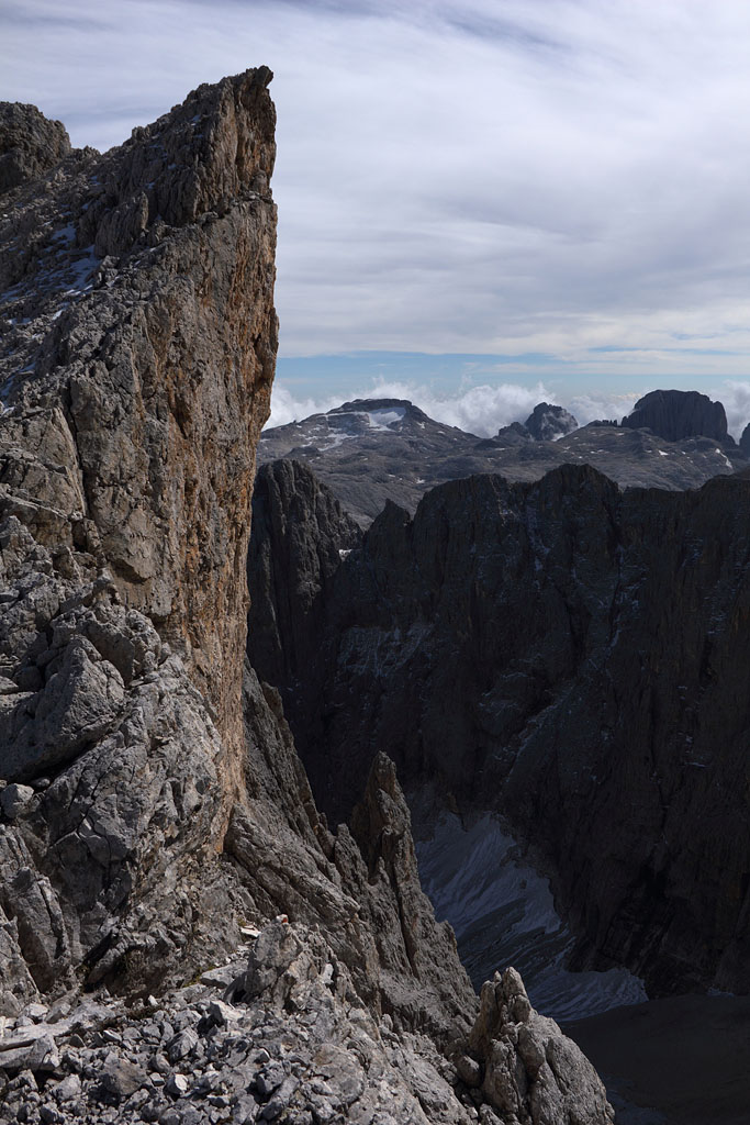
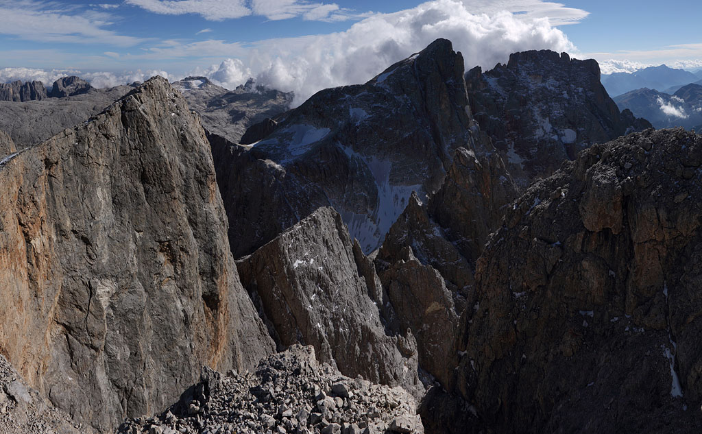
Monte Mulaz (2906m) - Cima d. Bureloni (3130m)
Italy - Dolomites, Pala range 21.9. - 22.9.13, 2 day tour.
1.th day: ascent from Val Venegia to Monte Mulaz, back and via Passo d. Farangole to Le Ziroccole (3058m), (easy climb grade I-II),
then Cima Bureloni (easy climb, but partly icy and exposed) and back to Le Ziroccole, tent night a few meters below summit.
2.th day: descent via P. d. Farangole to Val Venegia
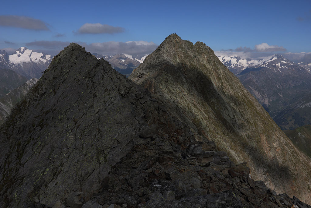
Hohe Klammerköpfe (3163m)
Austria - Hohe Tauern, Schobergruppe, 28.9.13
Day tour, ascent from Seichenbrunn via Nied. Gradenscharte, crossing of Östl. H. Klammerkopf (3153m), H. Klammerkopf (3163m),
Westl. H. Klammerkopf (3126m), Südl. H. Klammerkopf (3117m), easy climb (grade I, ridge between W- and S-summit II+).
N. Gradensch. with Petzeck behind |
view to W- and S-summit from main summit |
panoramic view of Petzeck range, rock glacier above Gradensee |
ridge between W- and S-summit |
Friedrichskopf and Petzeck |
view back to W-summit |
Gradensee below |
Hochschober with colors of Fall |
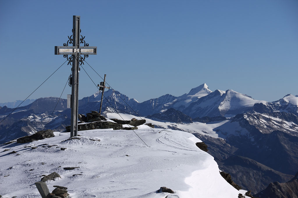
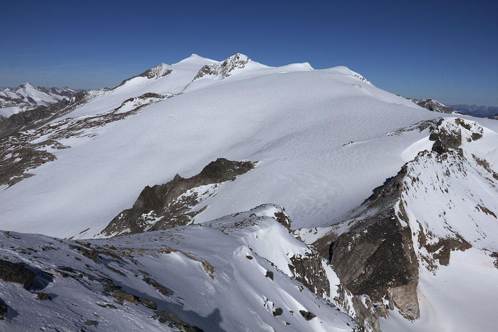
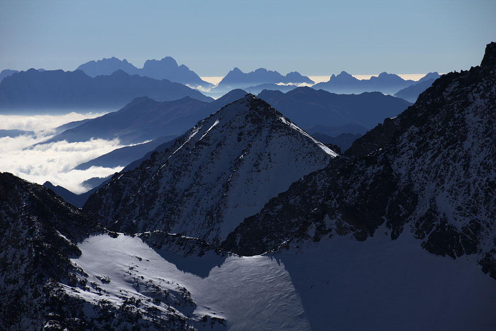
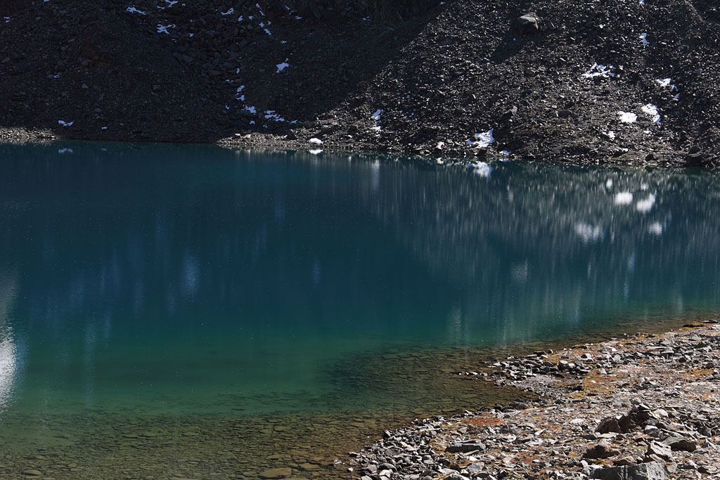
Weißspitze (3300m)
Austria - Hohe Tauern, Venediger range, 3.10.13
Day tour, ascent from Prägraten, SW-ascent snowy near top, easy climb.
morning view to Lasörling |
morning view to Lasörling |
Weißspitze ahead |
Weißspitze summit |
summit view to Venediger |
view to Säulkopf |
descent via Eissee |
Eissee lake |
Tajaköpfe (2450m)
Austria - Tirol, Mieminger range, 1.11.13
Day tour, ascent from Ehrwald, Vorderer Tajakopf (2450m), crossing to Hinterer Tajakopf (2408m), easy climb due to partly fixed rope.
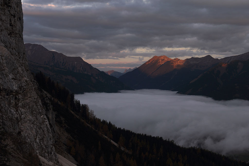
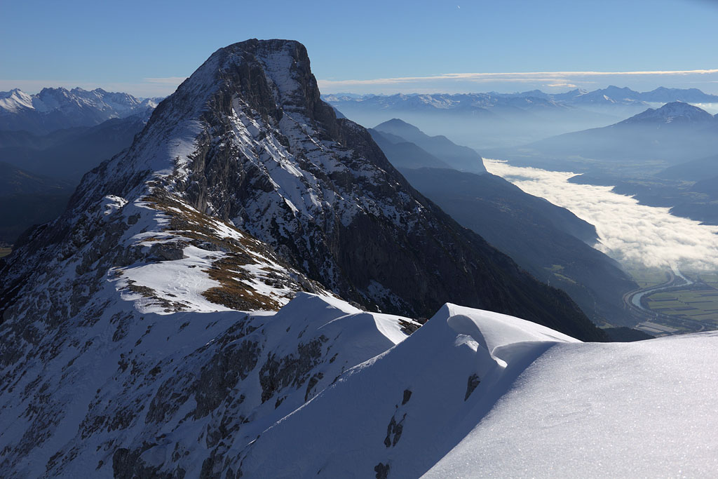
morning view to W |
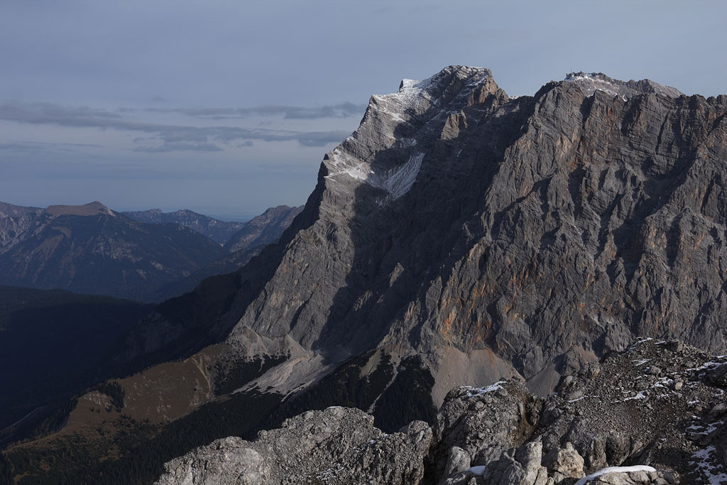
view to Zugspitze |
view to Grünstein |
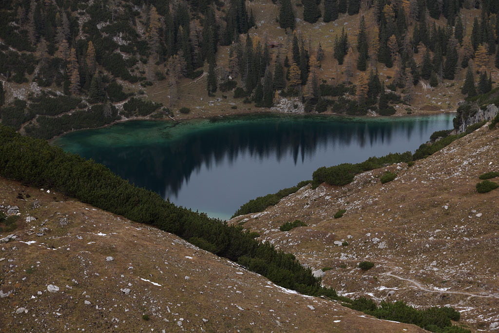
Seebensee |
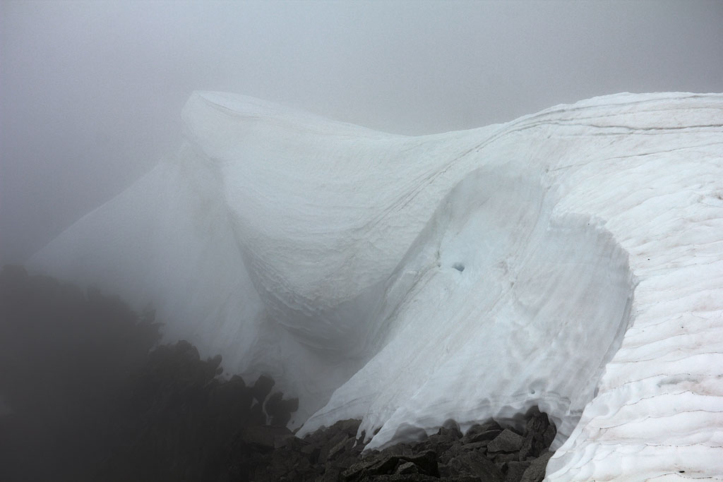
Karkopf (2469m)
Austria - Tirol, Mieminger range, 8.11.13
Day tour, ascent from Telfs, very snowy, trail buried by fresh snow, no foottraces, easy climb, partly steep.
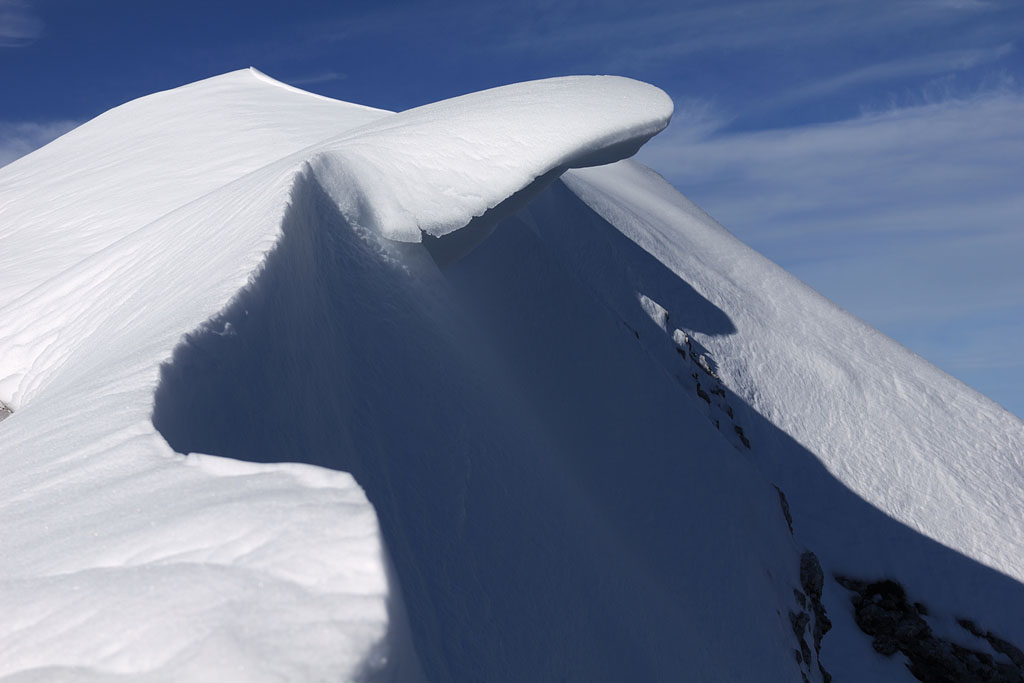
young cornice |
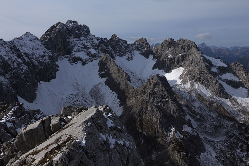
view to Hohe Munde |
near summit |
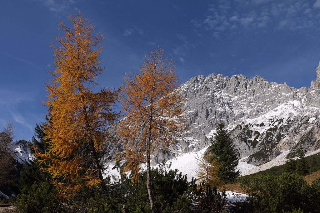
colors of Fall |
Schellschlicht (2053m)
Germany - Bavaria, Ammergauer Alps, 31.12.13
Day tour, ascent from Griesen, snowy summit ridge, trail buried by snow, easy climb, slightly exposed.
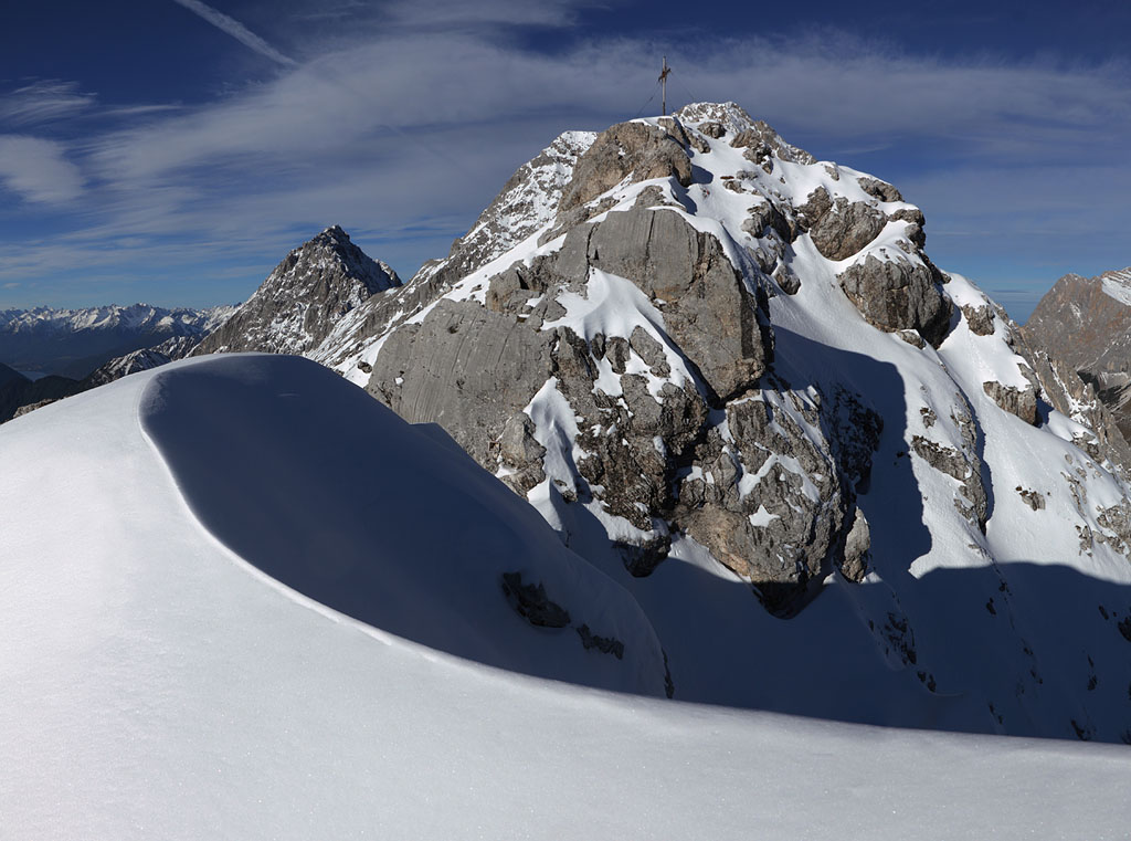
summit ridge |
W view from summit |
view to Zugspitze |
Zugspitze, Mieminger, Daniel |


